2000s (21st Century) Maps of Huron, New York
Explore 20 historic maps of Huron from the 2000s (21st Century). These maps offer a rare glimpse into what life looked like during the 2000s — showing old roads, neighborhoods, homes, and landmarks that have changed or disappeared over time.
Whether you're researching your family's past, planning a metal detecting trip, or studying how Huron's landscape evolved across the 2000s, these high-resolution maps are a powerful tool for exploring the history of this region.
- Focus on a specific era: All maps on this page are from the 2000s, giving you a focused view of this time period.
- See what’s changed: Compare century-old streets, trails, and buildings to today's modern landscape using overlays and satellite layers.
- Research with precision: Use these maps for genealogy, historical research, land use analysis, or educational projects.
- View, download, or print: Maps are fully viewable online in high resolution, and can be downloaded or printed for your own records.
Start exploring Huron's history through authentic maps from the 2000s. This is your window into the past.
Huron, NY maps
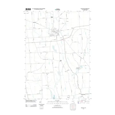
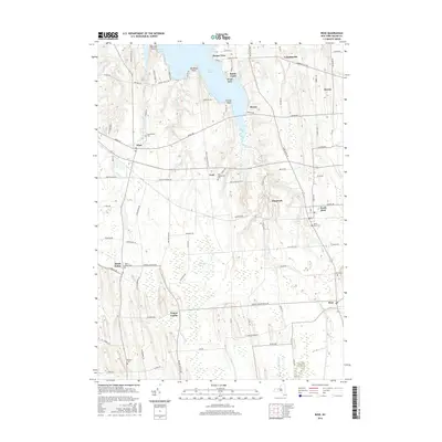
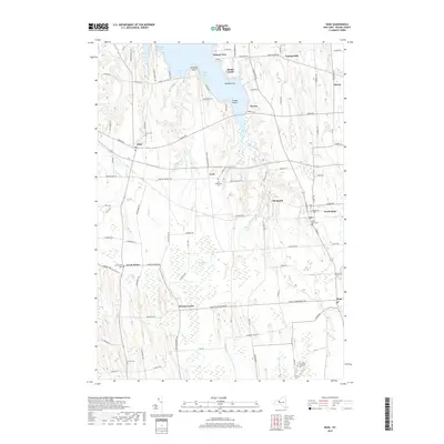
(20)- 2010 Map of Rose, 2010 Print
 2010 Rose2010 Print · USGSCovers Huron, including Sodus, Lyons, and other nearby areas
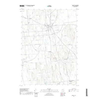
 - 2010 Map of Wolcott, 2010 Print
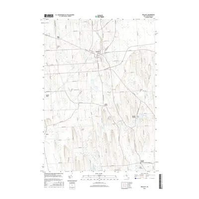
 2010 Wolcott2010 Print · USGSCovers Huron, including Galen, Wolcott, and other nearby areas
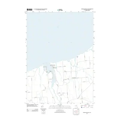
 - 2010 Map of Sodus Point, 2010 Print
 2010 Sodus Point2010 Print · USGSCovers Huron, including Sodus, Sodus Point, and other nearby areas
 - 2010 Map of North Wolcott, 2010 Print
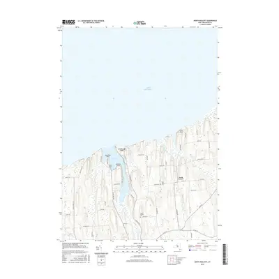
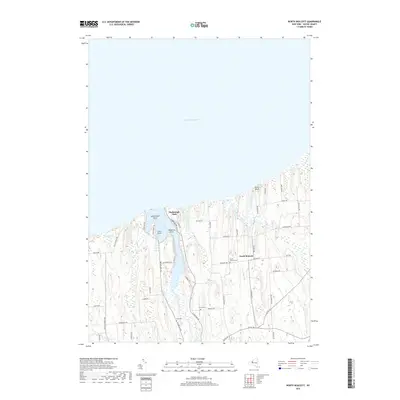
 2010 North Wolcott2010 Print · USGSCovers Huron, including Wolcott, Desbrough Park, and other nearby areas
 - 2013 Map of Wolcott, 2013 Print
 2013 Wolcott2013 Print · USGSCovers Huron, including Galen, Wolcott, and other nearby areas
 - 2013 Map of North Wolcott, 2013 Print
 2013 North Wolcott2013 Print · USGSCovers Huron, including Wolcott, Desbrough Park, and other nearby areas
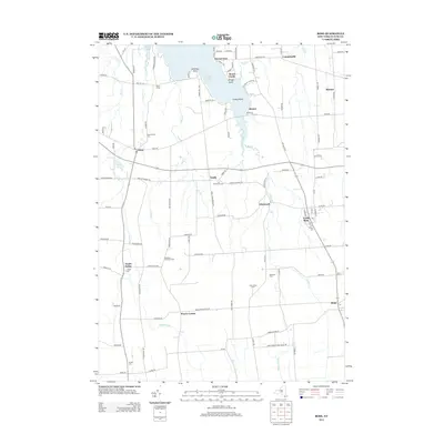
 - 2013 Map of Sodus Point, 2013 Print
 2013 Sodus Point2013 Print · USGSCovers Huron, including Sodus, Sodus Point, and other nearby areas
 - 2013 Map of Rose, 2013 Print
 2013 Rose2013 Print · USGSCovers Huron, including Sodus, Lyons, and other nearby areas
 - 2016 Map of North Wolcott, 2016 Print
 2016 North Wolcott2016 Print · USGSCovers Huron, including Wolcott, Desbrough Park, and other nearby areas
 - 2016 Map of Wolcott, 2016 Print
 2016 Wolcott2016 Print · USGSCovers Huron, including Galen, Wolcott, and other nearby areas
 - 2016 Map of Rose, 2016 Print
 2016 Rose2016 Print · USGSCovers Huron, including Sodus, Lyons, and other nearby areas
 - 2016 Map of Sodus Point, 2016 Print
 2016 Sodus Point2016 Print · USGSCovers Huron, including Sodus, Sodus Point, and other nearby areas
 - 2019 Map of Rose, 2019 Print
 2019 Rose2019 Print · USGSCovers Huron, including Sodus, Lyons, and other nearby areas
 - 2019 Map of Sodus Point, 2019 Print
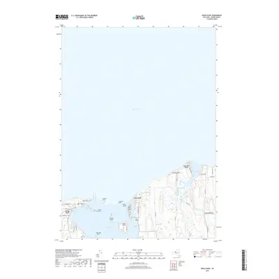 2019 Sodus Point2019 Print · USGSCovers Huron, including Sodus, Sodus Point, and other nearby areas
 - 2019 Map of Wolcott, 2019 Print
 2019 Wolcott2019 Print · USGSCovers Huron, including Galen, Wolcott, and other nearby areas
 - 2019 Map of North Wolcott, 2019 Print
 2019 North Wolcott2019 Print · USGSCovers Huron, including Wolcott, Desbrough Park, and other nearby areas
 - 2023 Map of Sodus Point, 2023 Print
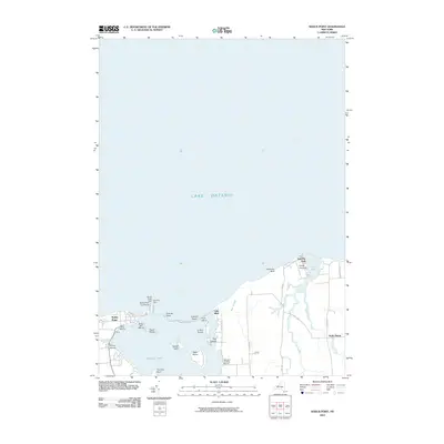
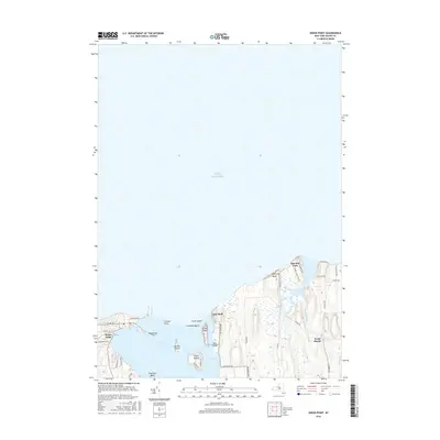
 2023 Sodus Point2023 Print · USGSThe Lake Ontario shoreline in Wayne County shows a landscape of deep bays and islands as it appeared in 2023. Trace the coastal developments from Sodus Point to the dramatic formations at Chimney Bluff and the quiet waters of East Bay.
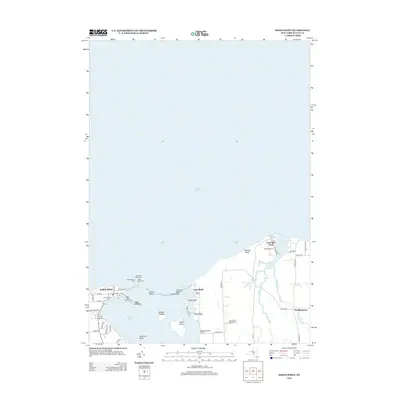
 - 2023 Map of North Wolcott, 2023 Print
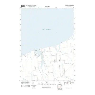
 2023 North Wolcott2023 Print · USGSThe Lake Ontario shoreline in Wayne County is captured here in modern detail, from the drumlins to the sheltered waters of Port Bay. Genealogists can locate family names at North Wolcott Cem and Joiner Cem or trace the lands around Desbrough Park.
 - 2023 Map of Rose, 2023 Print
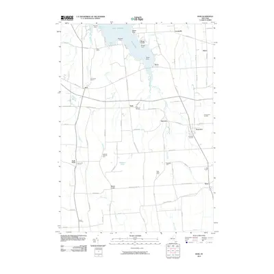
 2023 Rose2023 Print · USGSWayne County's rural landscape meets the southern edge of the Great Lakes in the early twenty-first century. Genealogists and historians can trace local family lineages through York Settlement Cem, South Sodus Cem, and the marshy expanses of Huckleberry Swamp.
 - 2023 Map of Wolcott, 2023 Print
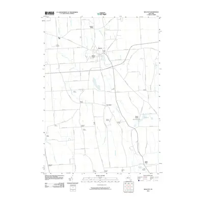
 2023 Wolcott2023 Print · USGSWayne County’s agricultural heartland is documented here in the early twenty-first century, showing a landscape of drumlins and creek valleys. Genealogists can locate several family burial grounds, including Roe Cem, Sprague Cem, and the Hunt Corners Cem.
End of results
Showing maps 1-20 of 20
Top cities near Huron
- Arcadia historical maps
- Newark historical maps
- Sodus historical maps
- Lyons historical maps
- Galen historical maps
- Wolcott historical maps
See more
Top neighborhoods of Huron
- Sunset View historical maps
- York historical maps
- North Huron historical maps
- Resort historical maps
- East Bay Park historical maps
- Rice Mill historical maps
See more
Frequently asked questions
- What are the different types of historical maps available for Huron?
- What is the oldest map of Huron?
- Where can I purchase historical maps of Huron for my home or office?
- Where can I download high-res historical maps of Huron?
- Are there historical topographic maps available for Huron?
- Is there historical aerial imagery available for Huron?
- Where are historical maps of Huron sourced from?