Old Maps of Savannah, New York
Explore 36 old maps of Savannah, spanning from 1902 to today. These high-resolution historic maps reveal how streets, neighborhoods, landmarks, and natural features evolved over time — perfect for genealogy, metal detecting, research, and local history exploration.
What you can do with these maps:
- See how Savannah changed over time: Compare historical maps to modern-day views to trace roads, homesites, rail lines & more.
- View detailed metadata: Each map includes creators, publishers, year, scale, and archive source.
- Overlay maps with satellite & LiDAR: Visualize the past alongside modern tools to explore terrain & human change.
- Trusted historical sources: Maps sourced from the USGS, Library of Congress, and other archives.
- Access maps your way: View online, download high-res files, or order prints for personal or research use.
Start exploring old maps of Savannah to uncover forgotten places, hidden landmarks, and the deep history beneath your feet.
Savannah, NY maps
(36)- 1902 Map of Clyde
 1902 Clyde1902 Print · USGSUpper New York state at the turn of the century shows a dense network of competing rail and water routes. Trace the path of the Erie Canal and find defunct stretches like the Erie Canal (Abandoned) alongside the Clyde River.8 unique versions available
 - 1902 Map of Weedsport
 1902 Weedsport1902 Print · USGSCentral New York at the turn of the century reveals a landscape shaped by the Erie Canal and a dense network of early railroads. Genealogists and historians can trace the foundations of Weedsport and Port Byron, or locate landmarks like the Brick Church and the Canal Basin at Montezuma.10 unique versions available
 - 1943 Map of Montezuma
 1943 Montezuma1943 Print · USGSThe Cayuga County marshlands are captured here during the Second World War as the region’s massive river and canal systems were being managed for conservation. You can trace the early path of the Erie Canal (Abandoned) or find family sites near Port Byron and Murray Cem.
 - 1943 Map of Savannah
 1943 Savannah1943 Print · USGSThe marshlands and waterways of Wayne County are captured here in the 1940s, highlighting the vital corridor of the Erie Canal and Clyde River. Family historians can trace old homesteads near Hunt Corners, Lockpit Cem, and several numbered schoolhouses.
 - 1943 Map of Wolcott
 1943 Wolcott1943 Print · USGSWayne County farming communities thrive in the early 1940s, connected by a network of rural roads and small hamlets. Genealogists can trace family roots through numerous sites like Sunnyside Church, Butler Savannah Cem, and Maunders Corners.
 - 1943 Map of Red Creek
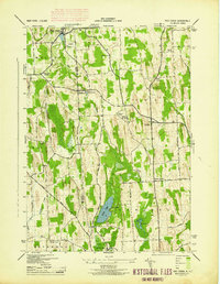 1943 Red Creek1943 Print · USGSUpper New York state during the early 1940s shows a landscape of small farming hamlets and rural school districts along the Wayne and Cayuga county line. Researchers can trace historic cemeteries like French Cem, early landmarks like the Airport, and old district schoolhouses.
 - 1953 Map of Wolcott, 1955 Print
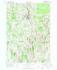 1953 Wolcott1955 Print · USGSWayne County farming and industry are captured here in the early 1950s, showing the intricate network of drumlins and stream valleys. Genealogists can locate family-named intersections like Maunders Corners and remote burials at Roe Cem or Hubbard Cem.3 unique versions available
 - 1953 Map of Savannah, 1955 Print
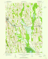 1953 Savannah1955 Print · USGSWayne and Seneca counties in the early 1950s show a landscape of canal-side industry and vast protected wetlands. Researchers can trace family sites at White Schoolhouse Corners, explore the hamlets of Clyde and Savannah, or locate old burial grounds like Lockpit Cem.4 unique versions available
 - 1953 Map of Clyde, 1961 Print
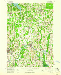 1953 Clyde1961 Print · USGSWayne County is shown in the early fifties, defined by the industrial hubs of Lyons and Clyde along the historic Erie Canal. Researchers can trace old family sites at Lockwood Corners, locate the White Schoolhouse, or find the Rice Mill near the marshlands.
 - 1954 Map of Montezuma, 1956 Print
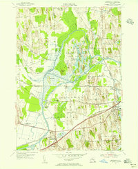 1954 Montezuma1956 Print · USGSThe Seneca River and Erie Canal corridors are captured here in the mid-fifties, just as the New York State Thruway began to reshape the region. Trace local history through Port Byron, Willow Grove, and the wetlands of the Montezuma National Wildlife Refuge.3 unique versions available
 - 1954 Map of Victory, 1956 Print
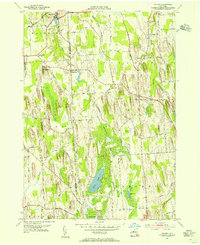 1954 Victory1956 Print · USGSThe rural border of Wayne and Cayuga counties is captured here in the mid-fifties, showing a landscape shaped by glacial drumlins. Researchers can locate the Schuler Farms Landing Field, several rural cemeteries like French Cem, and the waters of Duck Lake.
 - 1954 Map of Weedsport, 1961 Print
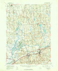 1954 Weedsport1961 Print · USGSMid-century Cayuga County is captured here as the new thruway begins to reshape the historic canal and rail corridor. Researchers can trace the legacy of the Erie Canal and New York Central through Port Byron, or locate family landmarks like Brick Ch and Schuler Farms Airfield.3 unique versions available
 - 1960 Map of Rochester
 1960 Rochester1960 Print · USGSThe Lake Ontario shoreline in the late fifties was a bustling corridor of rail and water commerce. Genealogists and historians can trace the path of the New York Central through canal towns like Newark or explore the coastal landmarks around Sackets Harbor.2 unique versions available
 - 1961 Map of Rochester, 1973 Print
 1961 Rochester1973 Print · USGSThe Lake Ontario shoreline and Finger Lakes frontier are shown here at the height of the mid-century infrastructure boom. Genealogists and historians can trace the rail-and-road evolution from Sackets Harbor down to the New York State Thruway, passing through centers like Pulaski and Adams Center.3 unique versions available
 - 1965 Map of Rochester
 1965 Rochester1965 Print · USGSUpstate New York's industrial heartland is captured here during a period of significant growth between the Great Lakes and the Finger Lakes. Genealogists and historians can trace the evolution of canal towns and rail hubs from Rochester to Syracuse, noting features like the Erie Canal and the New York State Thruway.
 - 1985 Map of Syracuse
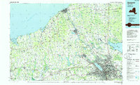 1985 Syracuse1985 Print · USGSCentral New York in the mid-eighties shows a landscape of established canal towns and growing metropolitan suburbs linked by rail and water. Researchers can trace the path of the Erie Canal, find the boundaries of Montezuma Marsh, and locate regional landmarks like Oneida Lake and Chimney Bluffs.3 unique versions available
 - 2010 Map of Victory, 2010 Print
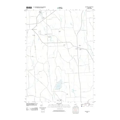 2010 Victory2010 Print · USGSThis late-modern survey of rural Wayne County captures the hamlets of Victory and Westbury amid a landscape of glacial hills. Genealogists can trace property boundaries and visit family sites at Southside Cemetery, Wood Cemetery, or near Duck Lake.
 - 2010 Map of Wolcott, 2010 Print
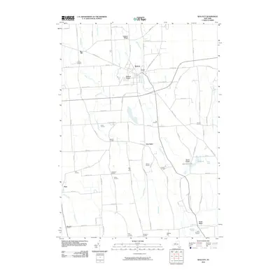 2010 Wolcott2010 Print · USGSWayne County's agricultural and rural landscape is shown in detail here during the early twenty-first century. Researchers can trace family history through sites like Hickory Square, Rice Mill, and the Butler Center Cemetery.
 - 2010 Map of Montezuma, 2010 Print
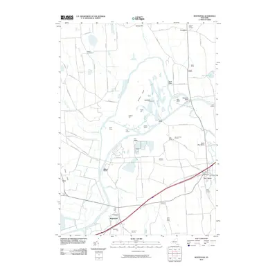 2010 Montezuma2010 Print · USGSIn this Cayuga County landscape during the early 2010s, the historic water routes of the Seneca River and Erie Canal define the local geography. Family historians can trace ancestral sites at the Old Montezuma Cemetery and follow rural routes to settlements like Port Byron and Rogers Crossroads.
 - 2010 Map of Savannah, 2010 Print
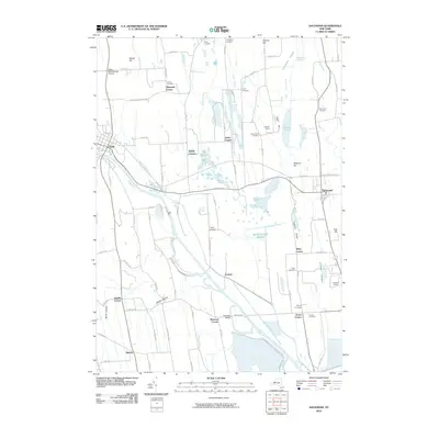 2010 Savannah2010 Print · USGSWayne County at the start of the new millennium shows a landscape defined by the intersection of early nineteenth-century canal engineering and vast protected wetlands. Researchers can trace historic family burial sites like Lockpit Cemetery and Harvey Cemetery or locate old community nodes such as Wiley Corner and White Schoolhouse Corners.
 - 2013 Map of Wolcott, 2013 Print
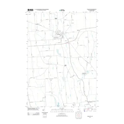 2013 Wolcott2013 Print · USGSWayne County's agricultural heartland is documented here in the early twenty-first century, centered on the historic village of Wolcott. Genealogists and researchers can trace lineage through local landmarks like Butler Center Cem, the hamlet of Rice Mill, and the many cemeteries lining the banks of Wolcott Cr.
 - 2013 Map of Montezuma, 2013 Print
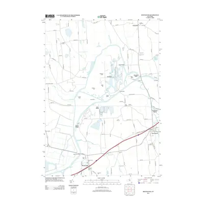 2013 Montezuma2013 Print · USGSPort Byron and Montezuma anchored Cayuga County's river-and-rail corridor in the early twenty-first century. Researchers can trace ancestral sites at Old Montezuma Cemetery and Mentz Church, or locate landmarks like Mosquito Point and Howland Island.
 - 2013 Map of Victory, 2013 Print
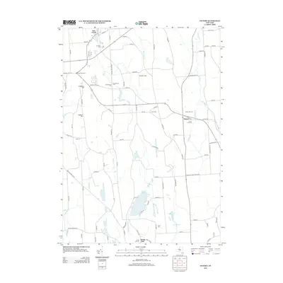 2013 Victory2013 Print · USGSWayne County agriculture and historic cemeteries define this landscape just south of the Great Lakes in the early 2010s. Genealogists can trace early families at the Old Westbury Cem and Victory Union Cem near the settlement of Victory.
 - 2013 Map of Savannah, 2013 Print
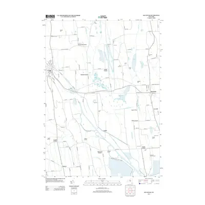 2013 Savannah2013 Print · USGSWayne County settlement at the turn of the 21st century centers on the fertile lands between Clyde and Savannah. Researchers can trace old family sites at Daboll Corners and Lockpit, or locate rural burials at Aurand Cem and Ferris Cem.
 - 2016 Map of Victory, 2016 Print
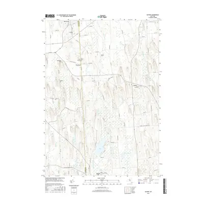 2016 Victory2016 Print · USGSUpper New York state’s drumlin fields and wetlands are meticulously charted in this mid-2010s survey of the Wayne and Cayuga county line. Genealogists can locate several family and community burial grounds like Old Westbury Cem and Victory Union Cem near the historic hamlet of Westbury.
Showing maps 1-25 of 36
Top cities near Savannah
- Auburn historical maps
- Geneva historical maps
- Seneca Falls historical maps
- Sodus historical maps
- Waterloo historical maps
- Seneca Falls historical maps
See more
Top neighborhoods of Savannah
- Noble Corner historical maps
- Evans Corner historical maps
- Fort Hill historical maps
- Savannah historical maps
Frequently asked questions
- What are the different types of historical maps available for Savannah?
- What is the oldest map of Savannah?
- Where can I purchase historical maps of Savannah for my home or office?
- Where can I download high-res historical maps of Savannah?
- Are there historical topographic maps available for Savannah?
- Is there historical aerial imagery available for Savannah?
- Where are historical maps of Savannah sourced from?