2020s Maps of Alamance County, North Carolina
Explore 15 historic maps of Alamance County from the 2020s. These maps offer a rare glimpse into what life looked like during the 2020s — showing old roads, neighborhoods, homes, and landmarks that have changed or disappeared over time.
Whether you're researching your family's past, planning a metal detecting trip, or studying how Alamance County's landscape evolved across the 2020s, these high-resolution maps are a powerful tool for exploring the history of this region.
- Focus on a specific era: All maps on this page are from the 2020s, giving you a focused view of this time period.
- See what’s changed: Compare century-old streets, trails, and buildings to today's modern landscape using overlays and satellite layers.
- Research with precision: Use these maps for genealogy, historical research, land use analysis, or educational projects.
- View, download, or print: Maps are fully viewable online in high resolution, and can be downloaded or printed for your own records.
Start exploring Alamance County's history through authentic maps from the 2020s. This is your window into the past.
Alamance County, NC maps
(15)- 2022 Map of Kimesville, 2022 Print
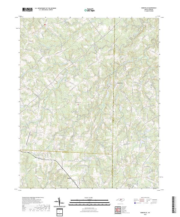 2022 Kimesville2022 Print · USGSThe rural crossroads where Guilford, Alamance, and Randolph counties meet are captured here in the early twenty-first century. Genealogists and local historians can trace family land via Coble Church Rd or explore water landmarks like Staley Mill Lake and Kimesville Lake.
 - 2022 Map of White Cross, 2022 Print
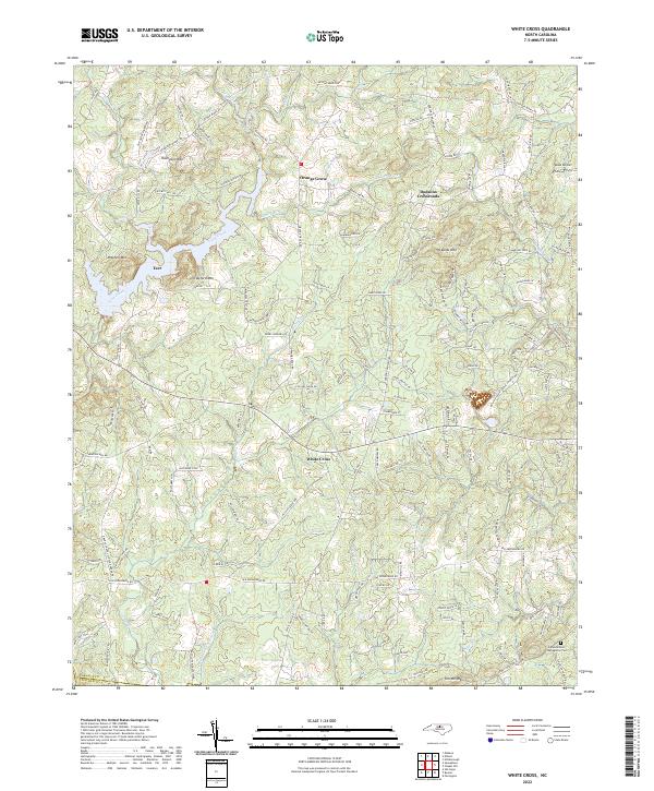 2022 White Cross2022 Print · USGSThe rural uplands of Orange County are documented here in the early twenty-first century, showing the crossroads communities and peaks that define this Piedmont terrain. Researchers can locate family landmarks such as Miles Airport, Judea Reform Congregation Cem, and the settlement at Orange Grove.
 - 2022 Map of Snow Camp, 2022 Print
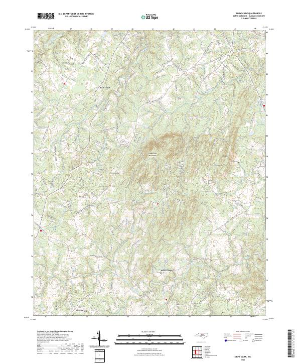 2022 Snow Camp2022 Print · USGSSouthern Alamance County remains a landscape of rolling hills and creek-side settlements in the twenty-first century. Researchers can trace local heritage through landmarks like Snow Camp, the Cane Creek Mountains, and Holt Crossroads.
 - 2022 Map of Silk Hope, 2022 Print
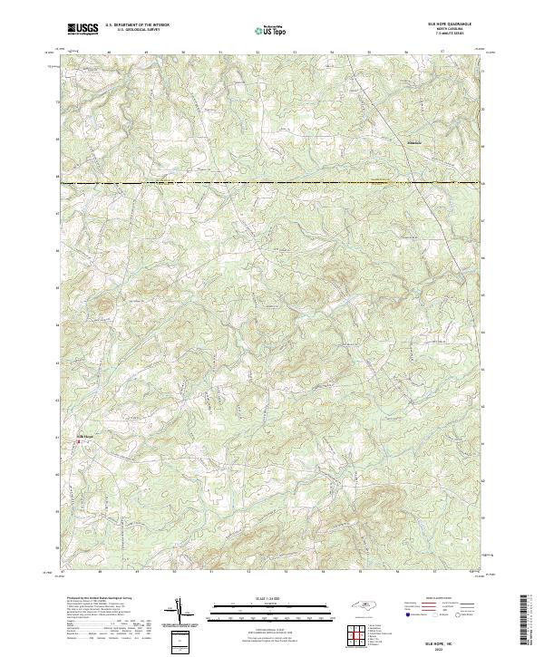 2022 Silk Hope2022 Print · USGSSilk Hope and the surrounding Chatham County countryside appear in great detail during the early 2020s. Genealogists and local historians can trace ancestral lands along Silk Hope Lindley Mill Rd or near the banks of Terrells Cr and Lick Cr.
 - 2022 Map of Crutchfield Crossroads, 2022 Print
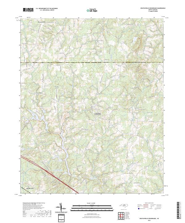 2022 Crutchfield Crossroads2022 Print · USGSChatham and Alamance counties are documented here in the early 2020s, showing the rural landscapes north of the regional hub of Siler City. Researchers can trace old family roadbeds and water features like Crutchfield Crossroads, Rocky River, and the Siler City Water Supply Lake Number Two.
 - 2022 Map of Saxapahaw, 2022 Print
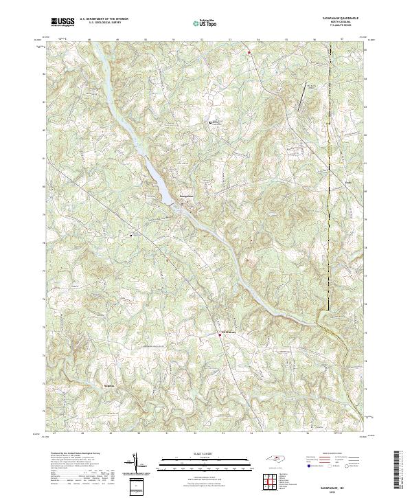 2022 Saxapahaw2022 Print · USGSThe Piedmont landscape of southern Alamance County is centered on the winding Haw River during the early 2020s. Genealogists and local historians can trace family locations near the Salem United Methodist Church Cem, Eli Whitney, and the riverfront at Saxapahaw.
 - 2022 Map of Liberty, 2022 Print
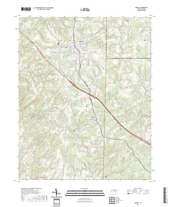 2022 Liberty2022 Print · USGSIn the early twenty-first century, the borderlands of Randolph and Chatham counties remain defined by the historic hubs of Liberty and Staley. Researchers can trace family history through several sites like Old McMasters Cem and the Old Shady Grove Cem along the Rocky River.
 - 2022 Map of Bynum, 2022 Print
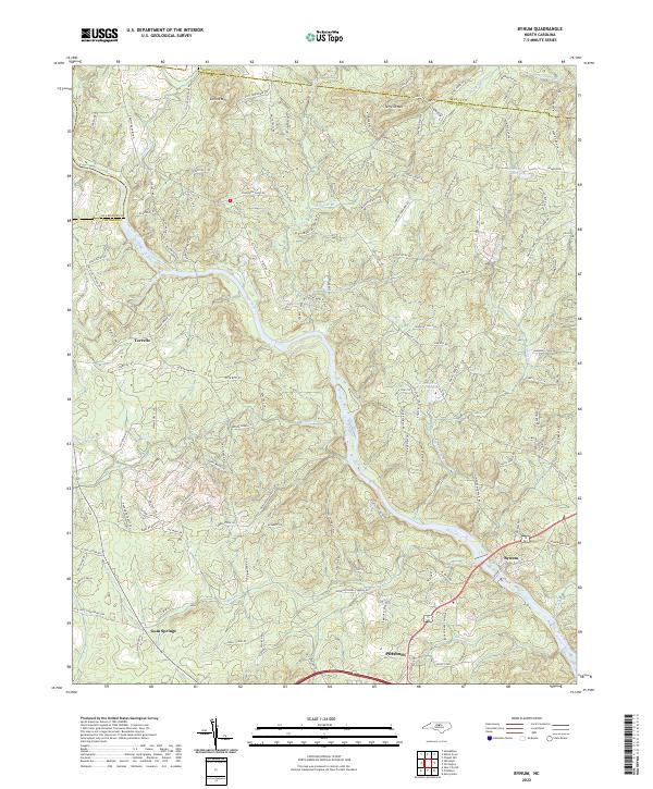 2022 Bynum2022 Print · USGSThe Haw River valley south of the Orange County line shows a landscape of historic Piedmont mill sites and rural crossroads. Local researchers can trace family landmarks and river geography from the Pritchard Mill (Site) down to the communities of Bynum and Gum Springs.
 - 2022 Map of Ossipee, 2022 Print
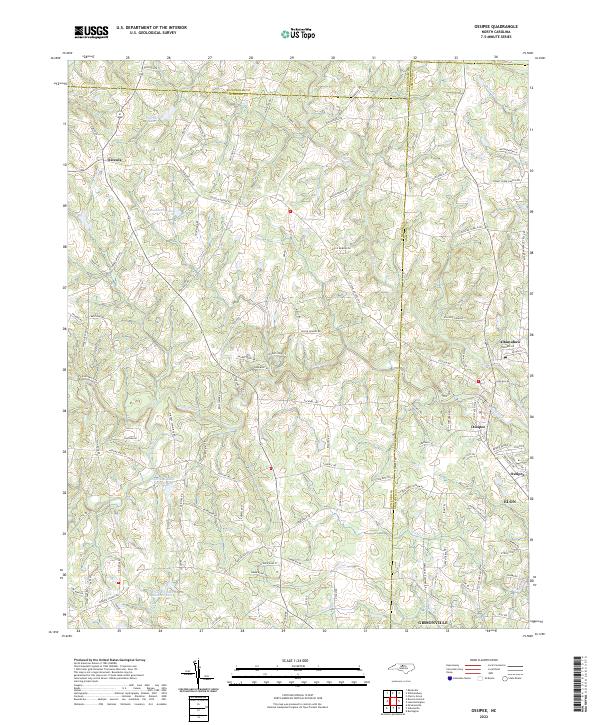 2022 Ossipee2022 Print · USGSThe border of Guilford and Alamance counties comes into focus in this contemporary survey of the North Carolina Piedmont. Trace local genealogy and geography through named roads and settlements like Osceola, Altamahaw, and Buckhorn Lake.
 - 2022 Map of Williamsburg, 2022 Print
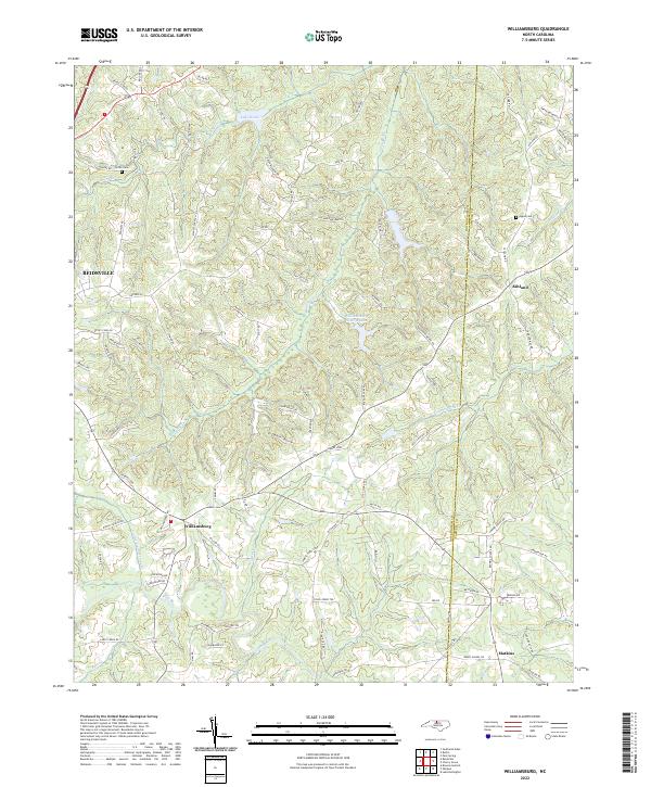 2022 Williamsburg2022 Print · USGSThe rural Piedmont of the early 2020s is mapped here along the border of Rockingham and Caswell counties. Genealogists and local historians can locate family landmarks such as Settle Cem and Apple Cem near settlements like Williamsburg and Ashland.
 - 2022 Map of Mebane, 2022 Print
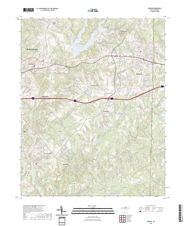 2022 Mebane2022 Print · USGSMebane and the Haw River corridor are shown in great detail during this recent era of North Carolina Piedmont growth. Researchers can trace the boundaries of Hawfields, locate Oakwood Cem, or find local landmarks like Swepsonville Baptist Ch.
 - 2022 Map of Gibsonville, 2022 Print
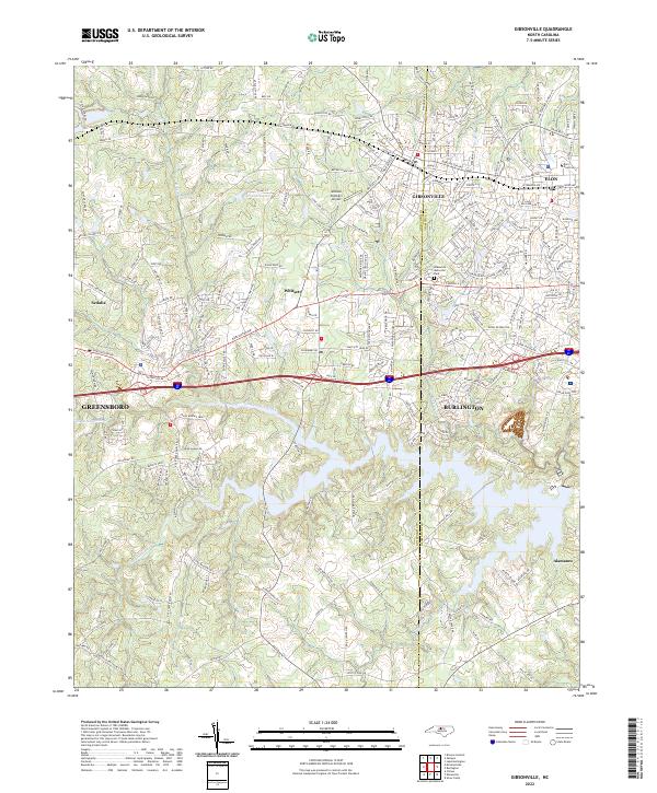 2022 Gibsonville2022 Print · USGSThe borderlands of Guilford and Alamance Counties are shown here during a period of modern expansion. Researchers can trace the layout of Elon University, locate McLean Brothers Airport, and follow the banks of Big Alamance Cr through Whitsett and Gibsonville.
 - 2022 Map of Burlington NE, 2022 Print
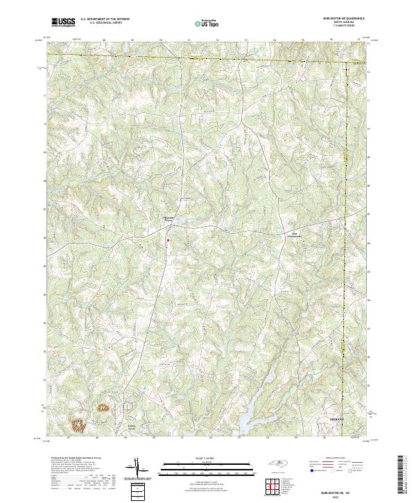 2022 Burlington NE2022 Print · USGSThis Alamance County landscape shows the rural evolution of central North Carolina as it appeared in the early 2020s. Genealogists and local historians can trace family land near Pleasant Grove, Just Crossroads, and the many branches of Quaker Creek.
 - 2022 Map of Lake Burlington, 2022 Print
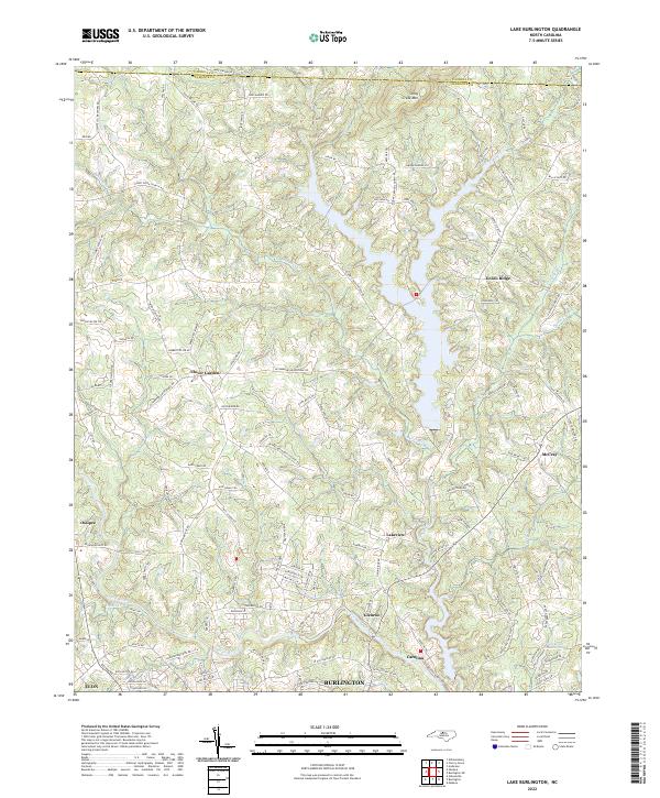 2022 Lake Burlington2022 Print · USGSNorth Carolina's Piedmont region north of Burlington is shown here in the early 2020s, documenting a landscape of river-valley communities and upland ridges. Researchers can trace family names along Stoney Creek Church Rd or locate the historic riverside settlements of Glencoe and Carolina.
 - 2023 Map of Burlington, 2023 Print
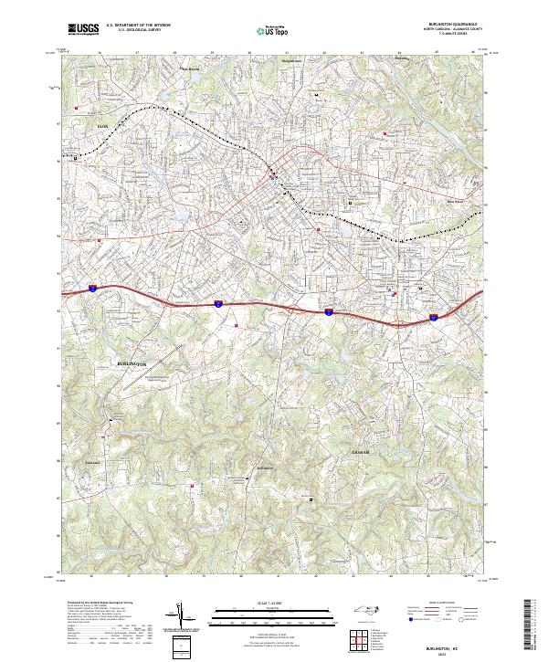 2023 Burlington2023 Print · USGSModern Burlington and Graham show their deep roots in this detailed survey of Alamance County. Researchers can trace family history at Magnolia Cem or locate the historic Alamance County Courthouse near the Haw River.
End of results
Showing maps 1-15 of 15
Top cities of Alamance County
- Burlington historical maps
- Graham historical maps
- Elon historical maps
- Green Level historical maps
- Haw River historical maps
- Saxapahaw historical maps
See more
Frequently asked questions
- What are the different types of historical maps available for Alamance County?
- What is the oldest map of Alamance County?
- Where can I purchase historical maps of Alamance County for my home or office?
- Where can I download high-res historical maps of Alamance County?
- Are there historical topographic maps available for Alamance County?
- Is there historical aerial imagery available for Alamance County?
- Where are historical maps of Alamance County sourced from?