Old Maps of Crumpler, North Carolina for Genealogy
Trace your family roots with 14 historic maps of Crumpler. These high-res maps reveal old neighborhoods, homesites, landmarks, and streets — helping you uncover where your ancestors lived and how the area evolved over time.
- Explore historic neighborhoods: Identify where your relatives may have lived in the 1800s or 1900s.
- Compare maps over time: Trace the changes in streets, buildings, and landmarks for multi-generational research.
- Perfect for genealogy & ancestry research: Used by family historians and researchers to map out lineage and migration.
These maps are an incredible resource for exploring your personal connection to Crumpler's past.
Crumpler, NC maps
(14)- 1889 Map of Wytheville
 1889 Wytheville1889 Print · USGSSouthwestern Virginia and northwestern North Carolina are mapped here during the late nineteenth-century rise of the mountain iron industry. Genealogists and historians can locate early post offices and industrial sites such as Bridle Creek P.O., Eagle Furnace, and Rural Retreat.2 unique versions available
 - 1892 Map of Wytheville, 1897 Print
 1892 Wytheville1897 Print · USGSThe high ridges and river valleys of Southwest Virginia and Northwest North Carolina are captured here in the late nineteenth century. Genealogists can trace family footprints across the Iron Mountains to old industrial sites like White Rock Furnace and remote post offices such as Hampton P.O.6 unique versions available
 - 1935 Map of Mouth of Wilson
 1935 Mouth of Wilson1935 Print · USGSGrayson County was a landscape of high ridges and river crossings in the mid-1930s. Researchers can trace family sites at Youngs Chapel, find early crossings like Halsey Ferry, and locate old mountain schoolhouses like Oak Hill Sch and Fairwood Sch.
 - 1940 Map of Mouth of Wilson
 1940 Mouth of Wilson1940 Print · USGSGrayson County's high ridges and river valleys were home to a dense network of mountain communities in the 1930s. Genealogists and historians can trace long-gone rural institutions like the COUNTY HOME, Cornell Store, and schools such as Razor Ridge Sch or Bethel Sch.3 unique versions available
 - 1953 Map of Winston-Salem, 1974 Print
 1953 Winston-Salem1974 Print · USGSThe North Carolina Piedmont and Virginia highlands meet in the mid-1950s, a landscape defined by the tobacco and textile hubs of the Blue Ridge foothills. Researchers can trace the rail-and-river geography connecting Winston-Salem to mountain towns like Mount Airy and Galax.2 unique versions available
 - 1955 Map of Winston-Salem
 1955 Winston-Salem1955 Print · USGSThe Central Blue Ridge and Piedmont transition are captured here in the mid-fifties, from the industrial hub of Winston-Salem to the high peaks of Southwest Virginia. Genealogists can trace family landmarks like Richmond Hill Ch, Siloam Ch, and the old rail stops along the Southern Railway.
 - 1962 Map of Winston-Salem
 1962 Winston-Salem1962 Print · USGSThe North Carolina Piedmont meets the Virginia highlands in the early sixties, showing the rail corridors and mountain gaps of the southern Appalachians. Researchers can trace the Blue Ridge Parkway or locate family sites near Winston-Salem, Mount Airy, and Hanging Rock Mountain.
 - 1966 Map of Grassy Creek, 1968 Print
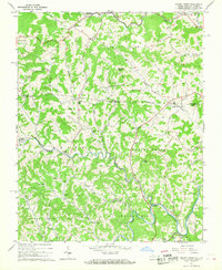 1966 Grassy Creek1968 Print · USGSThe North Carolina and Virginia state line bisects these Blue Ridge highlands in the mid-sixties, where the river bends around Walnut Hill. Genealogists can trace family landmarks like the Va-NC Sch, Greenwood Cem, and the community at Crumpler.2 unique versions available
 - 1982 Map of Wytheville, 1983 Print
 1982 Wytheville1983 Print · USGSSouthwest Virginia's ridge-and-valley landscape is shown here in the early 1980s as the Interstate era fully connected the region. Genealogists and historians can trace family locations near Emory and Henry College, the historic Austinville Mine, and settlements like Saltville or Lansing.3 unique versions available
 - 2011 Map of Grassy Creek, 2011 Print
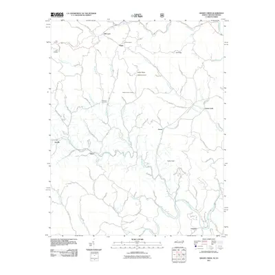 2011 Grassy Creek2011 Print · USGSAshe County and Grayson County mountain life is detailed here just after the turn of the millennium. Local historians can trace family roots through Corinth Cemetery and rural outposts like Sturgills or Rugby.
 - 2013 Map of Grassy Creek, 2013 Print
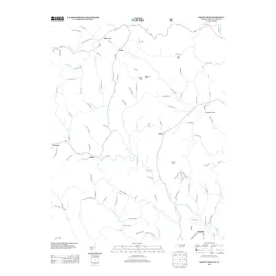 2013 Grassy Creek2013 Print · USGSThe North Carolina and Virginia borderlands come alive in this map of the Blue Ridge foothills during the early twenty-first century. Genealogists and hikers can trace the winding N Fork New River and locate small communities like Helton, Crumpler, and Rugby.
 - 2016 Map of Grassy Creek, 2016 Print
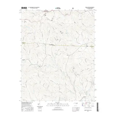 2016 Grassy Creek2016 Print · USGSAshe County and Grayson County meet along this borderland terrain in the mid-2010s, where the high ridges of the Blue Ridge give way to deep river valleys. Genealogists and local historians can trace family locations near Crumpler, Helton, and cemeteries like Greenwood Cem or Haw Orchard Cem.
 - 2019 Map of Grassy Creek, 2019 Print
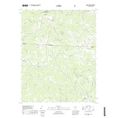 2019 Grassy Creek2019 Print · USGSThe North Carolina and Virginia state line bisects this mountain landscape during the late twenty-teens, showing the winding North Fork New River and its rural valleys. Researchers can locate early family landmarks like Haw Orchard Cem, Corinth Cem, and the settlement at Crumpler.
 - 2022 Map of Grassy Creek, 2022 Print
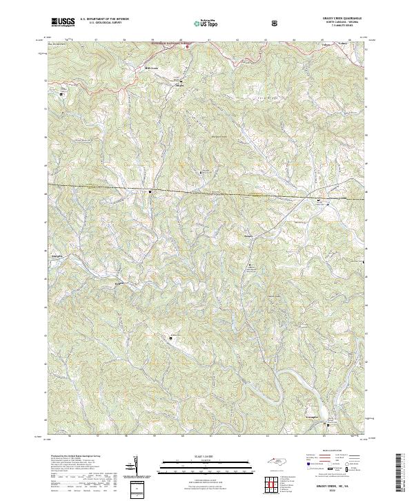 2022 Grassy Creek2022 Print · USGSThe North Carolina-Virginia borderlands are captured here in the early twenty-first century, showing the rural communities of Ashe and Grayson counties. Genealogists can trace family names at the Dickson Cemetery, Grassy Creek Cemetery, and Healing Springs Church Cemetery.
End of results
Showing maps 1-14 of 14
Top cities near Crumpler
- Jefferson historical maps
- West Jefferson historical maps
- Troutdale historical maps
- Lansing historical maps
Frequently asked questions
- What are the different types of historical maps available for Crumpler?
- What is the oldest map of Crumpler?
- Where can I purchase historical maps of Crumpler for my home or office?
- Where can I download high-res historical maps of Crumpler?
- Are there historical topographic maps available for Crumpler?
- Is there historical aerial imagery available for Crumpler?
- Where are historical maps of Crumpler sourced from?