Old Maps of Ashland, North Carolina for Academic Research
Study the evolution of Ashland with 9 high-resolution historic maps. Whether you're teaching, researching, or modeling changes in land use, these maps provide essential visual documentation of urban, environmental, and geographic change.
- Analyze long-term change: Track patterns in development, transportation, and natural features.
- Ideal for environmental or urban studies: Support academic projects with primary historical map data.
- Use in the classroom or lab: Educators and researchers rely on these maps to bring historical context to life.
These maps are a powerful tool for teaching, research, and visualizing how Ashland has changed over the decades.
Ashland, NC maps
(9)- 1953 Map of Norfolk, 1954 Print
 1953 Norfolk1954 Print · USGSCoastal Virginia and northeastern North Carolina appear here during the post-war industrial boom, showing the critical rail-and-sea connections of Hampton Roads. Genealogists can trace family roots through rural landmarks like Gethsemane Ch, the Caledonia State Prison Farm, and the vast interior of the Dismal Swamp.4 unique versions available
 - 1982 Map of Merry Hill
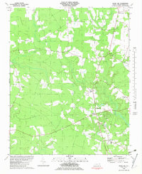 1982 Merry Hill1982 Print · USGSBertie County's rural crossroads and lowlands are captured here during the late 1970s, showing a landscape defined by small settlements and winding swamps. Genealogists and local historians can trace family locations near Merry Hill, Capeharts Ch, and the rural school at Lawrence Academy.
 - 1985 Map of Elizabeth City
 1985 Elizabeth City1985 Print · USGSCoastal North Carolina's rivers and sounds define the landscape of the mid-eighties, from the vast swamps to the historical waterfronts of Elizabeth City and Edenton. Researchers can trace the rail lines of the Southern Ry or locate landmarks like Beaver Hill Cem and South Mills.2 unique versions available
 - 2000 Map of Merry Hill, 2002 Print
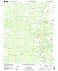 2000 Merry Hill2002 Print · USGSCoastal plains and inland swamps define the Bertie County landscape at the millennium. Genealogists and local historians can trace family locations through numerous unnamed cemeteries and community hubs like Merry Hill, Capeharts Ch, and Mount Gould.
 - 2010 Map of Merry Hill, 2010 Print
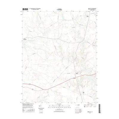
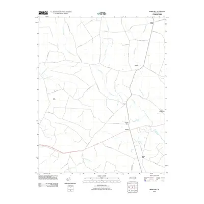 2010 Merry Hill2010 Print · USGSCovers Ashland, including Taylors Store, Gregory Crossroads, and other nearby areas
 - 2013 Map of Merry Hill, 2013 Print
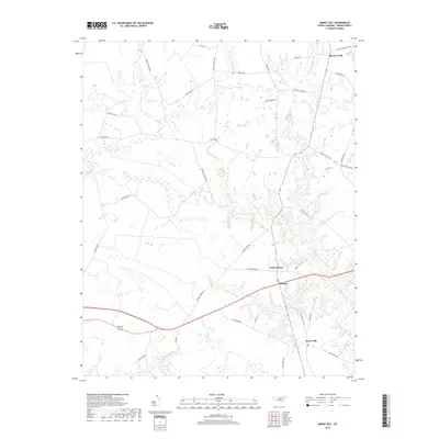
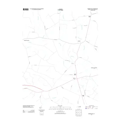 2013 Merry Hill2013 Print · USGSCovers Ashland, including Taylors Store, Gregory Crossroads, and other nearby areas
 - 2016 Map of Merry Hill, 2016 Print
 2016 Merry Hill2016 Print · USGSCovers Ashland, including Taylors Store, Gregory Crossroads, and other nearby areas
 - 2019 Map of Merry Hill, 2019 Print
 2019 Merry Hill2019 Print · USGSCovers Ashland, including Taylors Store, Gregory Crossroads, and other nearby areas
 - 2022 Map of Merry Hill, 2022 Print
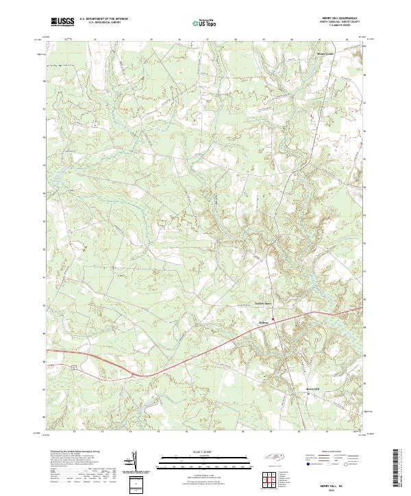 2022 Merry Hill2022 Print · USGSBertie County at the start of the 2020s shows a landscape still deeply shaped by its coastal swamps and agricultural crossroads. Genealogists and local historians can trace family-named routes and the settings of rural hubs like Merry Hill, Mount Gould, and Taylors Store.
End of results
Showing maps 1-9 of 9
Top cities near Ashland
- Edenton historical maps
- Ahoskie historical maps
- Plymouth historical maps
- Windsor historical maps
- Arrowhead Beach historical maps
- Roper historical maps
See more
Frequently asked questions
- What are the different types of historical maps available for Ashland?
- What is the oldest map of Ashland?
- Where can I purchase historical maps of Ashland for my home or office?
- Where can I download high-res historical maps of Ashland?
- Are there historical topographic maps available for Ashland?
- Is there historical aerial imagery available for Ashland?
- Where are historical maps of Ashland sourced from?