Old Maps of Roxobel, North Carolina for Hiking & Exploration
Hike through history with 16 historic maps of Roxobel. Explore old trails, ghost towns, and forgotten backroads — perfect for outdoor adventurers and local explorers.
- Rediscover forgotten places: Map out old mining camps, roads, and footpaths that no longer exist on modern maps.
- Layer with modern tools: Combine with LiDAR or satellite views to plan hikes through historical terrain.
- Made for exploration: Popular among hikers, overlanders, and local history lovers.
Use these maps to find adventure and explore the hidden past of Roxobel.
Roxobel, NC maps
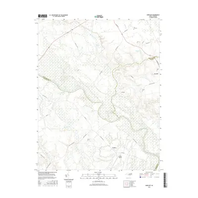
(16)- 1953 Map of Norfolk, 1954 Print
 1953 Norfolk1954 Print · USGSCoastal Virginia and northeastern North Carolina appear here during the post-war industrial boom, showing the critical rail-and-sea connections of Hampton Roads. Genealogists can trace family roots through rural landmarks like Gethsemane Ch, the Caledonia State Prison Farm, and the vast interior of the Dismal Swamp.4 unique versions available
 - 1962 Map of Norfleet, 1964 Print
 1962 Norfleet1964 Print · USGSCoastal North Carolina at the start of the sixties reveals a landscape shaped by its riverbanks and rail lines. Genealogists can trace family roots through numerous sites like William Chapel, Rea Cems, and the riverside community of Norfleet.
 - 1973 Map of Kelford, 1977 Print
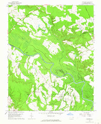
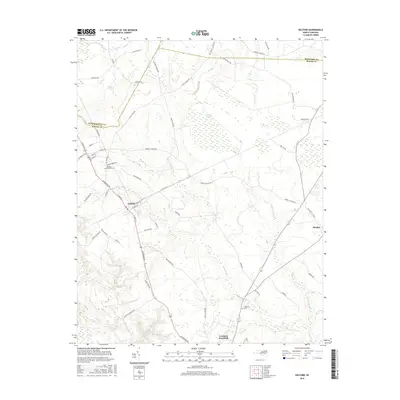
 1973 Kelford1977 Print · USGSBertie County in the early 1970s is a landscape of established rail towns and productive peanut farms. Genealogists can trace family names through numerous rural cemeteries and local landmarks like Beautiful Zion Ch, West Bertie Sch, and the Peanut Belt Research Station.
 - 1985 Map of Roanoke Rapids
 1985 Roanoke Rapids1985 Print · USGSNorthern North Carolina's river-driven economy is on display here in the mid-1980s, from the hydro-power at Roanoke Rapids to the rural millponds. Genealogists can trace family lands near Wiccacanee Pond, Mush Island, or the remote Urahaw Swamp.2 unique versions available
 - 1997 Map of Kelford, 2000 Print
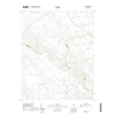
 1997 Kelford2000 Print · USGSThe interconnected communities of Bertie County appear here in the late twentieth century, showing a landscape defined by agriculture and winding swamp systems. Researchers can locate local landmarks like the Peanut Belt Research Station, Beautiful Zion Ch, and the Roxobel-Kelford Cem.
 - 1997 Map of Norfleet, 2000 Print
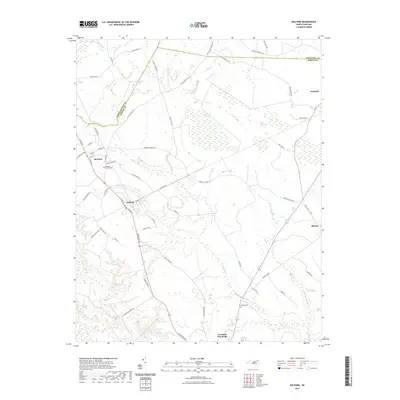
 1997 Norfleet2000 Print · USGSThe Roanoke River lowlands of Northampton and Halifax counties are captured here at the close of the twentieth century. Genealogists can trace family footprints through numerous rural burial sites like Norfleet Cem and churches including St Stevens Ch.
 - 2010 Map of Norfleet, 2010 Print
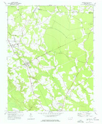
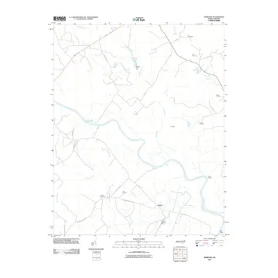 2010 Norfleet2010 Print · USGSCovers Roxobel, including Norfleet, Halifax County, and other nearby areas
 - 2010 Map of Kelford, 2010 Print
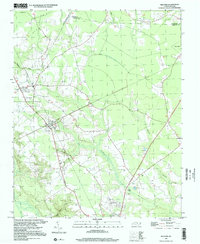
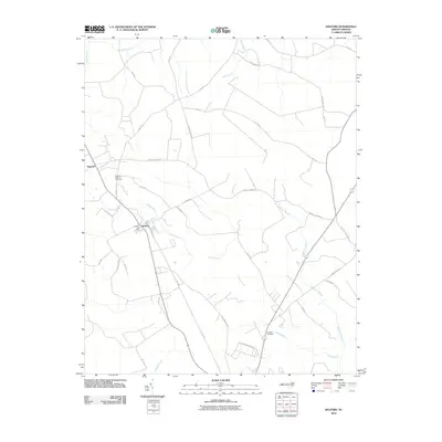 2010 Kelford2010 Print · USGSCovers Roxobel, including Aulander, Lewiston Woodville, and other nearby areas
 - 2013 Map of Kelford, 2013 Print
 2013 Kelford2013 Print · USGSCovers Roxobel, including Aulander, Lewiston Woodville, and other nearby areas
 - 2013 Map of Norfleet, 2013 Print
 2013 Norfleet2013 Print · USGSCovers Roxobel, including Norfleet, Halifax County, and other nearby areas
 - 2016 Map of Norfleet, 2016 Print
 2016 Norfleet2016 Print · USGSCovers Roxobel, including Norfleet, Halifax County, and other nearby areas
 - 2016 Map of Kelford, 2016 Print
 2016 Kelford2016 Print · USGSCovers Roxobel, including Aulander, Lewiston Woodville, and other nearby areas
 - 2021 Map of Norfleet, 2021 Print
 2021 Norfleet2021 Print · USGSCovers Roxobel, including Norfleet, Halifax County, and other nearby areas
 - 2021 Map of Kelford, 2021 Print
 2021 Kelford2021 Print · USGSCovers Roxobel, including Aulander, Lewiston Woodville, and other nearby areas
 - 2022 Map of Norfleet, 2022 Print
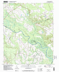
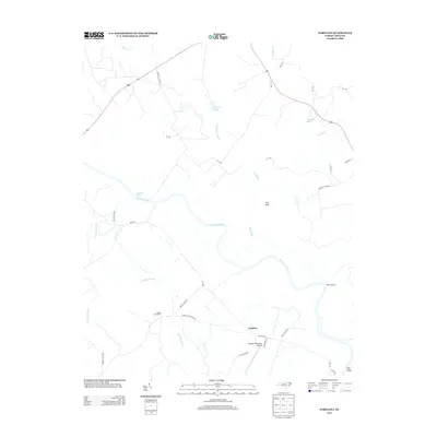
 2022 Norfleet2022 Print · USGSThe Roanoke River lowlands and the community of Roxobel are shown here as they appeared in the early 2020s. Genealogists and local historians can locate family burial sites like Norfleet Cem and Bell Cem alongside landmarks such as Sandy Branch Baptist Church.
 - 2022 Map of Kelford, 2022 Print
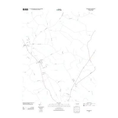
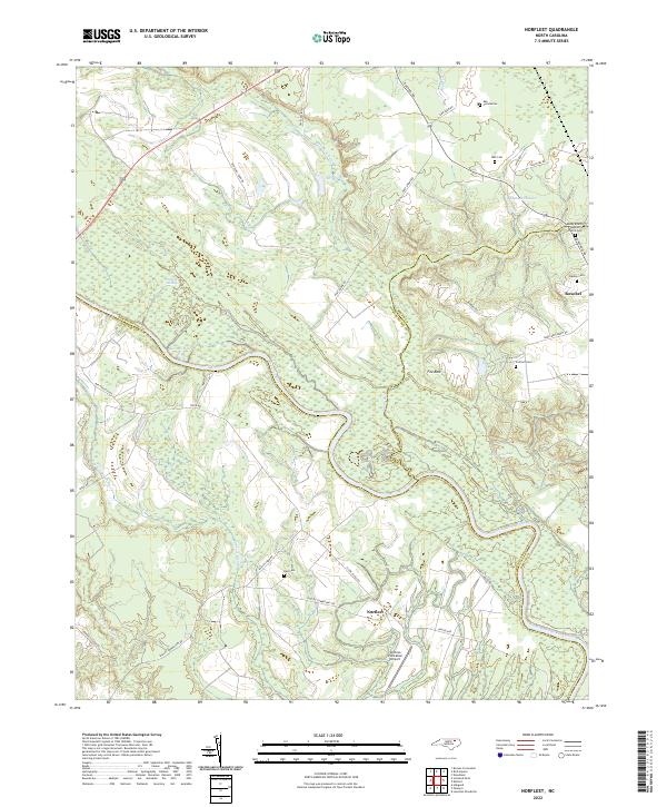
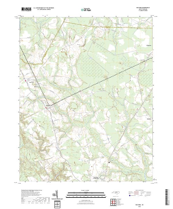 2022 Kelford2022 Print · USGSThe rural landscapes of Bertie and Hertford Counties are detailed in the early 2020s, showing the agricultural heart of northeastern North Carolina. Researchers can locate family landmarks like the Hoggard Cem or trace the drainage of the Cashie River near Roxobel.
End of results
Showing maps 1-16 of 16
Top cities near Roxobel
- Ahoskie historical maps
- Scotland Neck historical maps
- Rich Square historical maps
- Aulander historical maps
- Woodland historical maps
- Conway historical maps
See more
Frequently asked questions
- What are the different types of historical maps available for Roxobel?
- What is the oldest map of Roxobel?
- Where can I purchase historical maps of Roxobel for my home or office?
- Where can I download high-res historical maps of Roxobel?
- Are there historical topographic maps available for Roxobel?
- Is there historical aerial imagery available for Roxobel?
- Where are historical maps of Roxobel sourced from?