2000s (21st Century) Maps of Trap, North Carolina
Explore 6 historic maps of Trap from the 2000s (21st Century). These maps offer a rare glimpse into what life looked like during the 2000s — showing old roads, neighborhoods, homes, and landmarks that have changed or disappeared over time.
Whether you're researching your family's past, planning a metal detecting trip, or studying how Trap's landscape evolved across the 2000s, these high-resolution maps are a powerful tool for exploring the history of this region.
- Focus on a specific era: All maps on this page are from the 2000s, giving you a focused view of this time period.
- See what’s changed: Compare century-old streets, trails, and buildings to today's modern landscape using overlays and satellite layers.
- Research with precision: Use these maps for genealogy, historical research, land use analysis, or educational projects.
- View, download, or print: Maps are fully viewable online in high resolution, and can be downloaded or printed for your own records.
Start exploring Trap's history through authentic maps from the 2000s. This is your window into the past.
Trap, NC maps
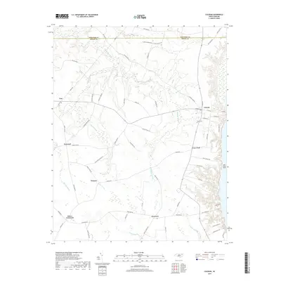
(6)- 2000 Map of Colerain, 2002 Print
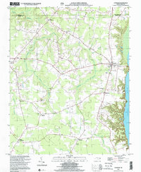 2000 Colerain2002 Print · USGSBertie County's riverfront and swamp-bordered farmsteads are documented here at the turn of the twenty-first century. Genealogists can locate family landmarks from Colerain to Whites Crossroads, including New Holly Grove Ch and Hillcrest Cem.
 - 2010 Map of Colerain, 2010 Print
 2010 Colerain2010 Print · USGSCovers Trap, including Colerain, Wakelon, and other nearby areas
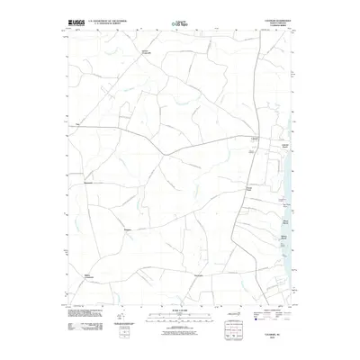
 - 2013 Map of Colerain, 2013 Print
 2013 Colerain2013 Print · USGSCovers Trap, including Colerain, Wakelon, and other nearby areas
 - 2016 Map of Colerain, 2016 Print
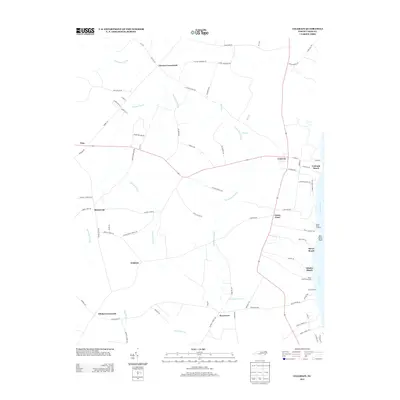
 2016 Colerain2016 Print · USGSCovers Trap, including Colerain, Wakelon, and other nearby areas
 - 2019 Map of Colerain, 2019 Print
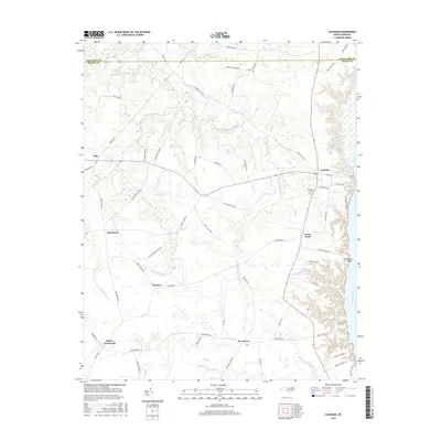
 2019 Colerain2019 Print · USGSCovers Trap, including Colerain, Wakelon, and other nearby areas
 - 2022 Map of Colerain, 2022 Print
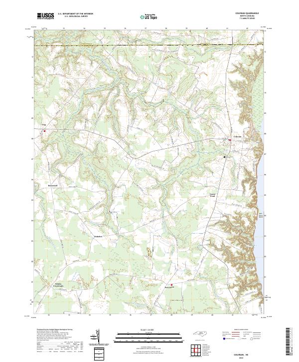 2022 Colerain2022 Print · USGSBertie County's coastal plain and swamp-heavy interior are shown here in the 2020s. Genealogists and historians can locate rural crossroads like Trap and Whites Crossroads alongside notable landmarks like Hillcrest Cem and Goose Pond.
End of results
Showing maps 1-6 of 6
Top cities near Trap
- Edenton historical maps
- Ahoskie historical maps
- Murfreesboro historical maps
- Windsor historical maps
- Winton historical maps
- Arrowhead Beach historical maps
See more
Frequently asked questions
- What are the different types of historical maps available for Trap?
- What is the oldest map of Trap?
- Where can I purchase historical maps of Trap for my home or office?
- Where can I download high-res historical maps of Trap?
- Are there historical topographic maps available for Trap?
- Is there historical aerial imagery available for Trap?
- Where are historical maps of Trap sourced from?