Old Maps of Woodard, North Carolina for Metal Detecting
Plan your next treasure hunt with 12 historic maps of Woodard. Find old homesites, ghost towns, trails, and gathering spots that may be lost to time — perfect for identifying promising metal detecting locations.
- Locate forgotten sites: Uncover places like long-lost settlements, abandoned rail lines, or gathering spots.
- Plan better hunts: Use map overlays combined with LiDAR or satellite views to narrow in on historically rich areas.
- Made for detectorists: Thousands of hobbyists use these maps to discover relics, coins, and hidden history.
Use these historic maps to boost your research and find new opportunities beneath the surface of Woodard.
Woodard, NC maps
(12)- 1943 Map of Plymouth
 1943 Plymouth1943 Print · USGSThe coastal plains and swamps of eastern North Carolina are captured here during the wartime era, showing a landscape defined by river navigation and drainage canals. Genealogists can trace family roots through rural landmarks like Ellis Store, St Lukes Ch, and small rail stops such as Acre Sta.
 - 1953 Map of Rocky Mount, 1964 Print
 1953 Rocky Mount1964 Print · USGSEastern North Carolina in the mid-fifties is defined by its deep river basins and the vast wetlands of the Tidewater. Genealogists can trace family roots through hubs like Kinston and New Bern or explore the wilderness of Pettigrew State Park and Lake Mattamuskeet.4 unique versions available
 - 1954 Map of Rocky Mount
 1954 Rocky Mount1954 Print · USGSEastern North Carolina is mapped in the mid-fifties, showing a landscape of sounds, swamps, and steam-era rail lines. Genealogists can trace the rural road networks and rail spurs connecting towns like Tarboro, Greenville, and the remote Columbia.
 - 1979 Map of Woodard
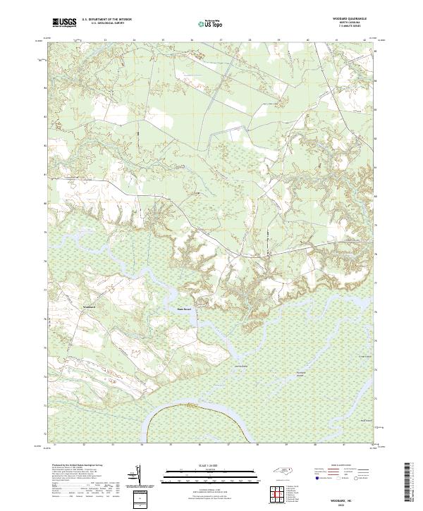
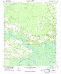 1979 Woodard1979 Print · USGSThe Bertie County river country is captured here in the late seventies, showing a landscape defined by the Cashie River. Local historians can trace the Sans Souci Ferry and several rural congregations like Cashie Ch and St Pauls Ch.
 - 1985 Map of Plymouth
 1985 Plymouth1985 Print · USGSThe coastal plains of Washington and Beaufort counties come into focus in the mid-eighties as a region defined by large-scale conservation and water-bound trade. Researchers can trace the layout of small farming towns like Pantego and Creswell alongside the vast waters of Phelps Lake and Lake Mattamuskeet.2 unique versions available
 - 1997 Map of Woodard, 2000 Print
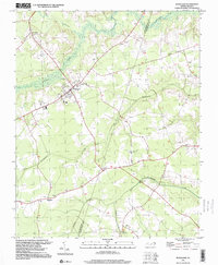 1997 Woodard2000 Print · USGSCoastal plain settlements and low-lying creek systems defined this North Carolina interior in the 1990s. Researchers can trace rural church history and family plots at Jerusalem Ch, Eagletown, and Mintons Store while following the path of Catawhiskie Creek.
 - 2002 Map of Woodard
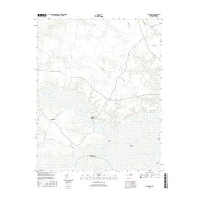
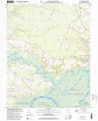 2002 Woodard2002 Print · USGSBertie County's river-driven landscape is captured here at the start of the twenty-first century, centered on the historic Sans Souci Ferry. Researchers can trace old family sites and community centers like Lawrence Ch, John Law Sch, and the riverside settlement of Woodard.
 - 2010 Map of Woodard, 2010 Print
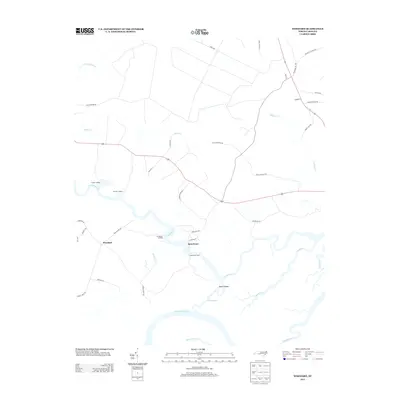
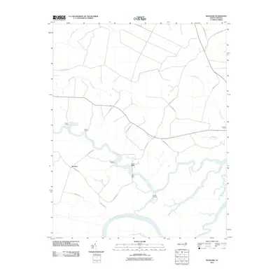 2010 Woodard2010 Print · USGSCovers Woodard, including Sans Souci, Martin County, and other nearby areas
 - 2013 Map of Woodard, 2013 Print
 2013 Woodard2013 Print · USGSCovers Woodard, including Sans Souci, Martin County, and other nearby areas
 - 2016 Map of Woodard, 2016 Print
 2016 Woodard2016 Print · USGSCovers Woodard, including Sans Souci, Martin County, and other nearby areas
 - 2019 Map of Woodard, 2019 Print
 2019 Woodard2019 Print · USGSCovers Woodard, including Sans Souci, Martin County, and other nearby areas
 - 2022 Map of Woodard, 2022 Print
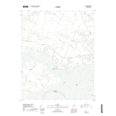
 2022 Woodard2022 Print · USGSBertie County's river-driven landscape is captured here in the early 2020s, showing the rural communities along the Cashie River. Researchers can trace the reach of the Buckleberry Pocosin or locate the riverfront at Sans Souci and Devils Elbow.
End of results
Showing maps 1-12 of 12
Top cities near Woodard
- Williamston historical maps
- Edenton historical maps
- Plymouth historical maps
- Windsor historical maps
- Jamesville historical maps
- Askewville historical maps
Frequently asked questions
- What are the different types of historical maps available for Woodard?
- What is the oldest map of Woodard?
- Where can I purchase historical maps of Woodard for my home or office?
- Where can I download high-res historical maps of Woodard?
- Are there historical topographic maps available for Woodard?
- Is there historical aerial imagery available for Woodard?
- Where are historical maps of Woodard sourced from?