2020s Maps of Bladen County, North Carolina
Explore 24 historic maps of Bladen County from the 2020s. These maps offer a rare glimpse into what life looked like during the 2020s — showing old roads, neighborhoods, homes, and landmarks that have changed or disappeared over time.
Whether you're researching your family's past, planning a metal detecting trip, or studying how Bladen County's landscape evolved across the 2020s, these high-resolution maps are a powerful tool for exploring the history of this region.
- Focus on a specific era: All maps on this page are from the 2020s, giving you a focused view of this time period.
- See what’s changed: Compare century-old streets, trails, and buildings to today's modern landscape using overlays and satellite layers.
- Research with precision: Use these maps for genealogy, historical research, land use analysis, or educational projects.
- View, download, or print: Maps are fully viewable online in high resolution, and can be downloaded or printed for your own records.
Start exploring Bladen County's history through authentic maps from the 2020s. This is your window into the past.
Bladen County, NC maps
(24)- 2022 Map of Emerson, 2022 Print
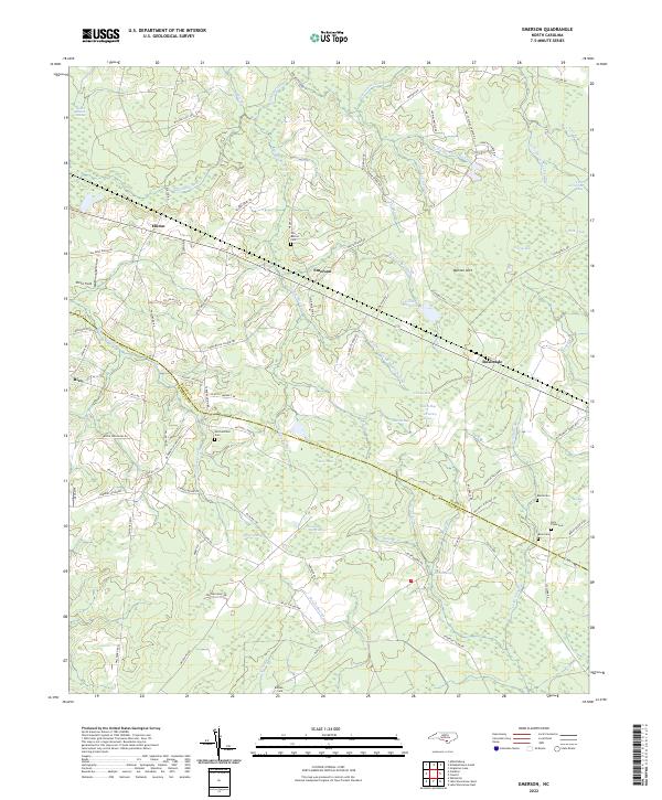 2022 Emerson2022 Print · USGSThe borderlands of Bladen and Columbus Counties come into focus in the early 2020s, revealing a landscape defined by expansive swamps and rural crossroads. Genealogists can trace family footprints through numerous local burial sites like Old Bethel Cem, Mitchellfield Cem, and Bule Cem.
 - 2022 Map of Freeman, 2022 Print
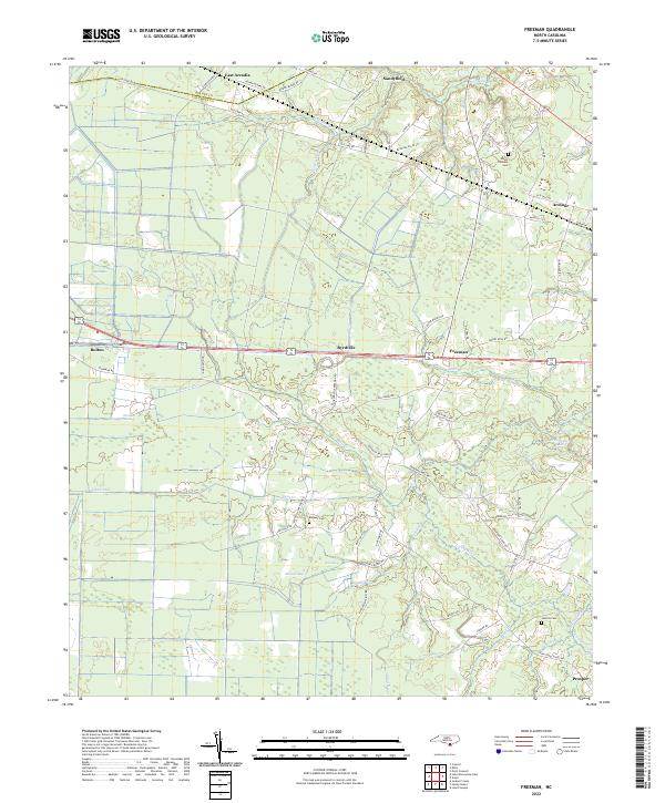 2022 Freeman2022 Print · USGSThe lowland border between Columbus and Bladen Counties is captured here in the early twenty-first century, showing a landscape defined by creeks and canals. Researchers can locate family landmarks like Malpass Cemetery, and trace the rural reaches of Byrdville and Sandyfield.
 - 2022 Map of Elizabethtown South, 2022 Print
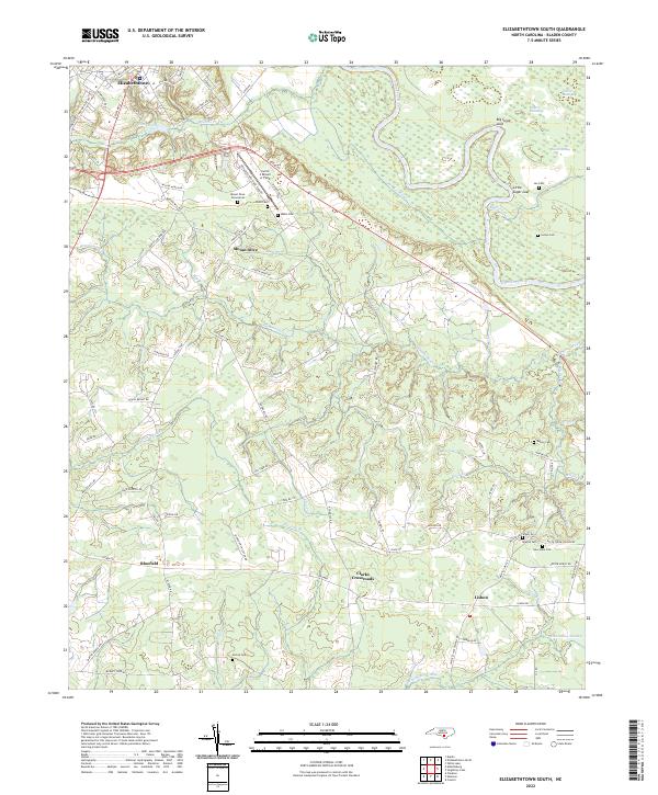 2022 Elizabethtown South2022 Print · USGSCoastal plains and river bends define Bladen County in the early 2020s, where rural life centers on the winding Cape Fear River. Researchers can trace generations of local history through family burial grounds like Lee Cem and Watson Cem or the settlement at Lisbon.
 - 2022 Map of Dublin, 2022 Print
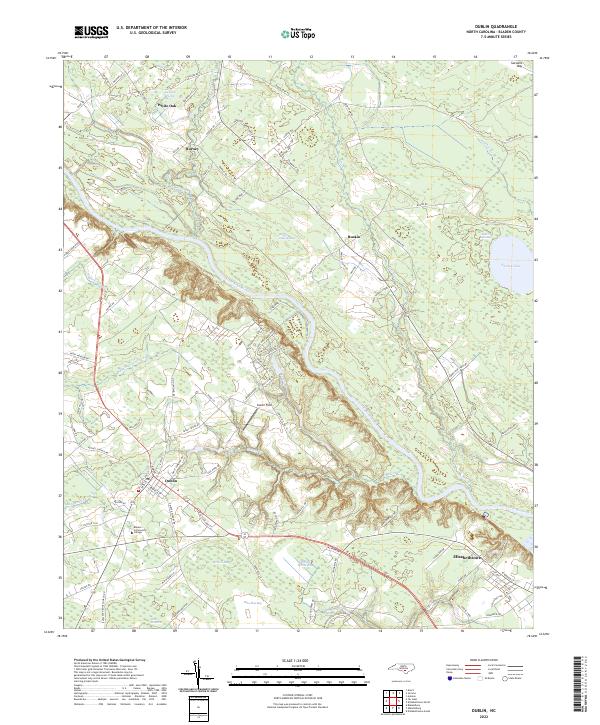 2022 Dublin2022 Print · USGSBladen County's unique wetlands and settlements are documented in the early 2020s, showing the landscape between Dublin and Elizabethtown. Researchers can trace the modern campus of Bladen Community College and several named Carolina bays like Salters Lake.
 - 2022 Map of Ammon, 2022 Print
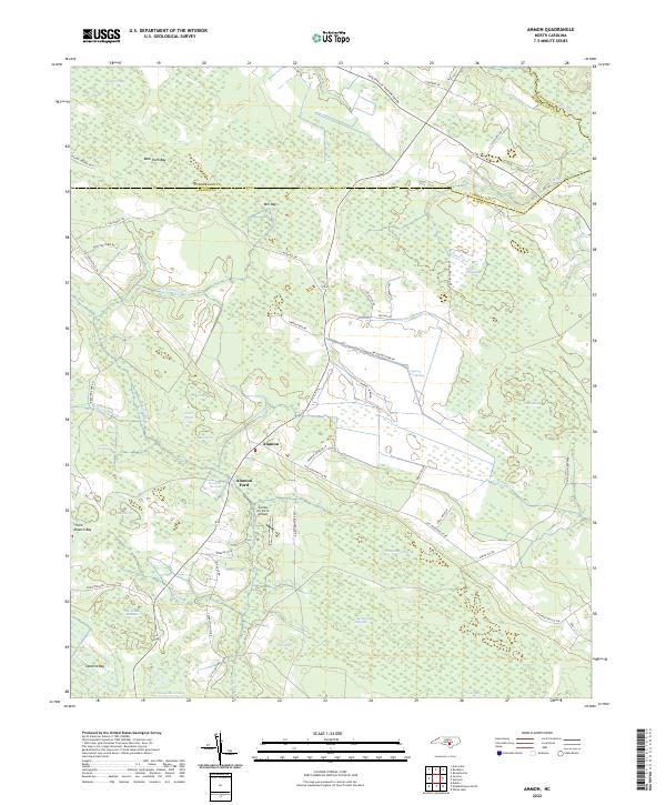 2022 Ammon2022 Print · USGSBladen County settlement and its distinctive Carolina bay landscape are shown here in the 2020s. Researchers can trace rural landmarks like Ammon Ford, the Charlie Long Millpond, and the curiously named Zombie Air Force Airport.
 - 2022 Map of Rowan, 2022 Print
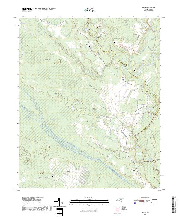 2022 Rowan2022 Print · USGSThe river bottoms and Carolina bays of the North Carolina coastal plain are shown here in modern detail. Genealogists and local historians can locate numerous family burial grounds like Salem Cem and Bannerman Cem tucked away near Rowan and Reedy Crossway.
 - 2022 Map of Kelly, 2022 Print
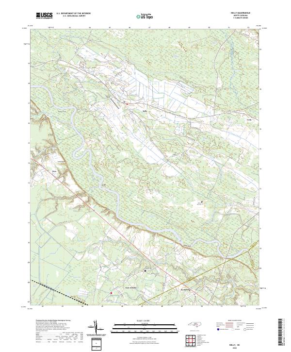 2022 Kelly2022 Print · USGSCoastal North Carolina riverlands come alive in this recent survey of the Bladen and Columbus county border. Researchers can trace rural lineages through Frenches Creek Church, Graham Chapel Cem, and river crossings near Locks Point.
 - 2022 Map of Garland, 2022 Print
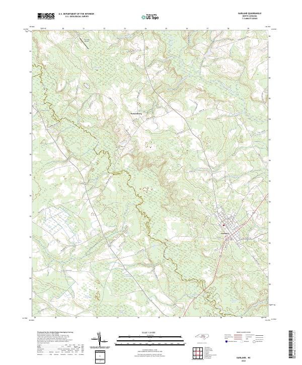 2022 Garland2022 Print · USGSGarland and Parkersburg anchor this part of the coastal plain in the early 2020s, a landscape defined by its unique wetlands. Trace the margins of Dismal Bay and Indian Camp Bay or locate the historic Johnson Mill Race and Twin Oak Airport.
 - 2022 Map of Duart, 2022 Print
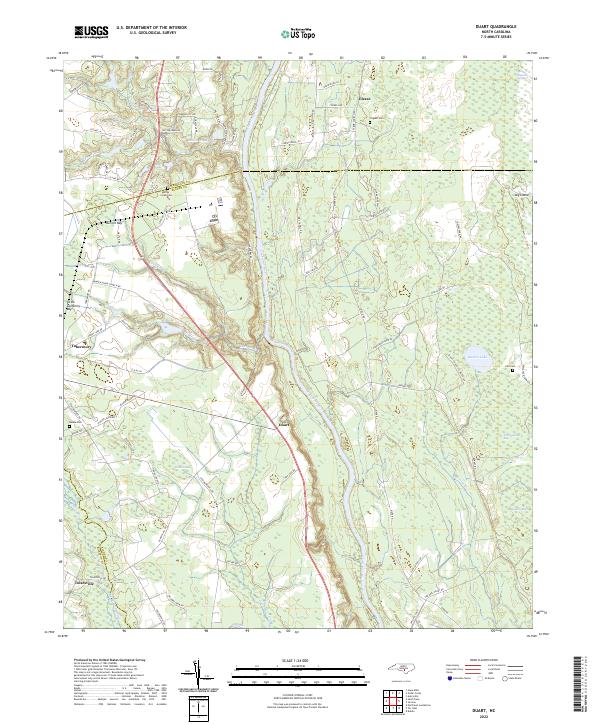 2022 Duart2022 Print · USGSCoastal plain wetlands and riverfront settlements define this North Carolina landscape in the early twenty-first century. Researchers can trace family history at Willis Creek Cem or locate rural hubs like Tobermory and Duart along the Cape Fear River.
 - 2022 Map of Bladenboro, 2022 Print
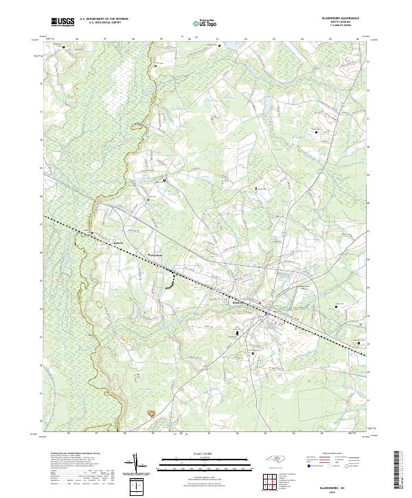 2022 Bladenboro2022 Print · USGSSoutheastern North Carolina's lowland landscape is on full display in this recent record of the Bladenboro area. Local historians can trace family ties at Pine Crest Cem and explore the rail-and-water economy at Bridger Millpond and along the Seaboard Coast Line.
 - 2022 Map of Singletary Lake, 2022 Print
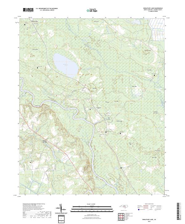 2022 Singletary Lake2022 Print · USGSBladen County's unique Carolina Bay landscape is documented here in the early 2020s, showing the intersection of river-bottom swamps and upland lakes. Genealogists can locate family burial sites like Smith Cemeteries and Beatty Cem near Walkers Bluff.
 - 2022 Map of Chadbourn NE, 2022 Print
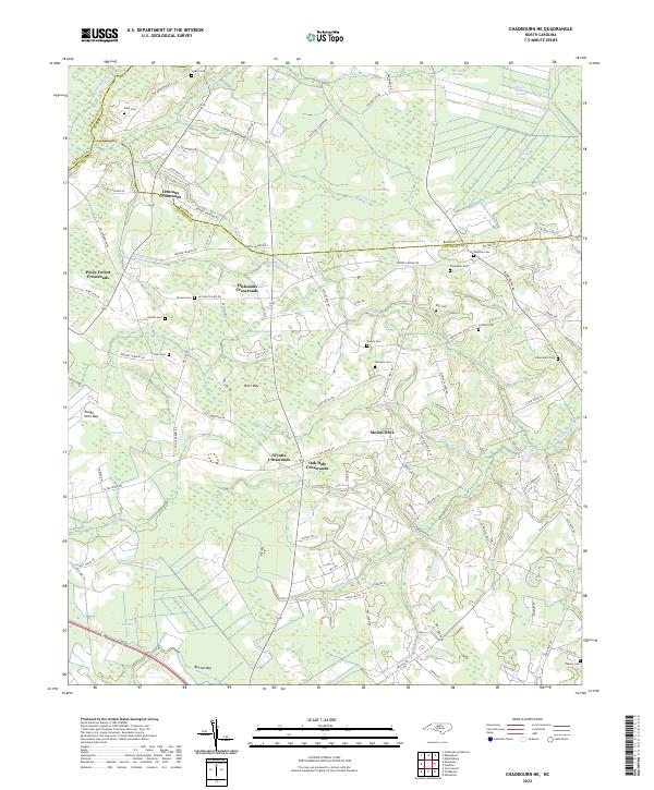 2022 Chadbourn NE2022 Print · USGSThe rural landscapes of Columbus and Bladen counties appear here in the early twenty-first century, featuring a unique network of bay depressions and crossroads settlements. Researchers can trace family sites like Lennons Crossroads and numerous family plots such as Ellis Cem and Callihan Cem.
 - 2022 Map of Point Caswell, 2022 Print
 2022 Point Caswell2022 Print · USGSCoastal plains and riverine lowlands dominate this corner of Pender County in the early 2020s. Genealogists can trace family landmarks and rural burial grounds like Larkins Cem, Long Bluff Cem, and the riverfront settlement at Point Caswell.
 - 2022 Map of Atkinson, 2022 Print
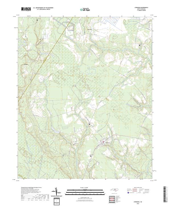 2022 Atkinson2022 Print · USGSCoastal Pender County at the start of the 2020s reveals a landscape defined by the Black River and extensive bay wetlands. Genealogists can trace family footprints across several rural burial grounds, including Atkinson Cem, Woodcock Cem, and Newtown Cem.
 - 2022 Map of Elizabethtown North, 2022 Print
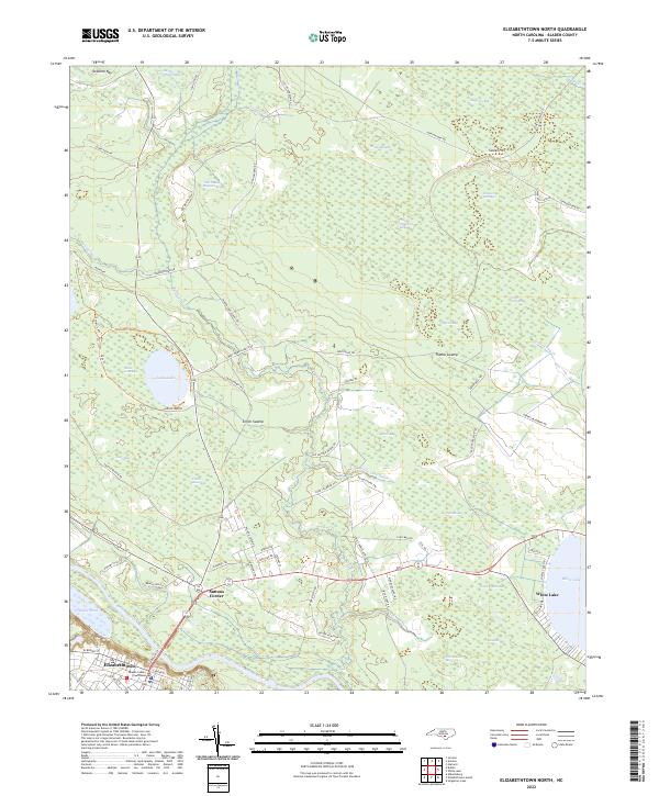 2022 Elizabethtown North2022 Print · USGSElizabethtown and the surrounding Carolina bays are documented in this recent survey of the Bladen County interior. Researchers can trace the riverfront at Elizabethtown or locate rural landmarks like the Bladen County Courthouse and Suttons Corner.
 - 2022 Map of Abbottsburg, 2022 Print
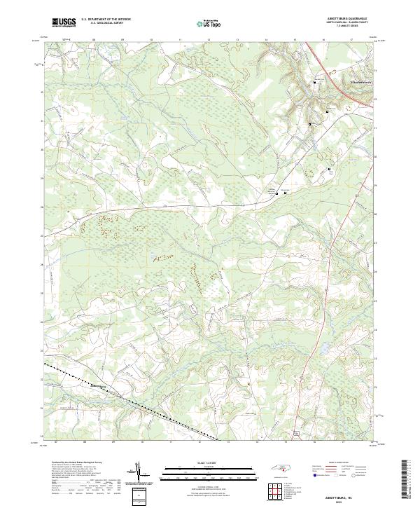 2022 Abbottsburg2022 Print · USGSBladen County's wetland-rich interior is mapped here in the early 2020s, showing a landscape shaped by drainage canals and expansive swamps. Genealogists and local researchers can trace family lands near Abbottsburg, the Bladen Memorial Gardens, and landmarks like Paris Millpond.
 - 2022 Map of Clarkton, 2022 Print
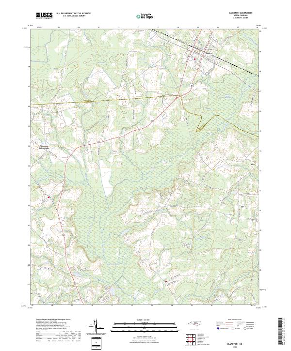 2022 Clarkton2022 Print · USGSCoastal Plain wetlands and small-town rail grids define this Bladen County landscape in the early 2020s. Researchers can trace family sites from Clarkton down to Wootens Crossroads and the Marley Cem, or explore the reaches of White Marsh and Brights Lake.
 - 2022 Map of Tomahawk, 2022 Print
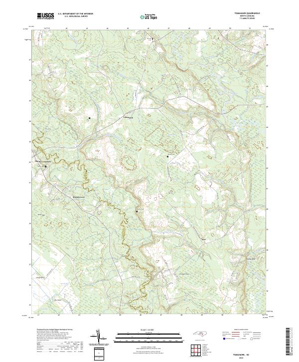 2022 Tomahawk2022 Print · USGSSampson and Bladen counties appear here in the early 2020s, showing a rural landscape woven together by the Black and South Rivers. Genealogists can locate family landmarks like Herring Cem or trace the old roads near Tomahawk and Murphytown.
 - 2022 Map of Lake Waccamaw East, 2022 Print
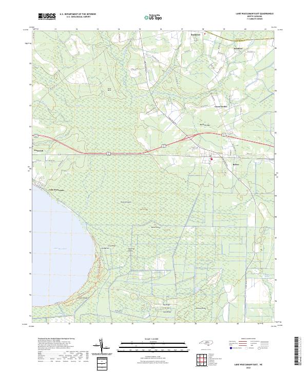 2022 Lake Waccamaw East2022 Print · USGSCoastal plain wetlands and the eastern shores of Lake Waccamaw define this part of Columbus County in the early 2020s. Genealogists and historians can trace the roads connecting Wananish, Bolton, and Council Ridge across the Green Swamp.
 - 2022 Map of White Lake, 2022 Print
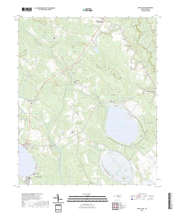 2022 White Lake2022 Print · USGSCoastal plain wetlands and oval bays define this portion of Bladen County in the early 2020s. Researchers can locate numerous family burial sites like Norris Cem and Sand Hill Cem or trace the rural roads connecting Hickory Grove Crossroads.
 - 2022 Map of Saint Pauls, 2022 Print
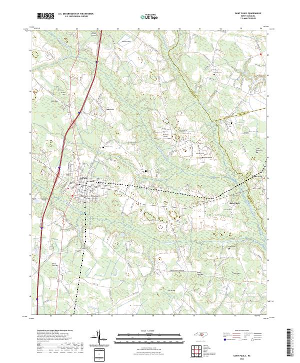 2022 Saint Pauls2022 Print · USGSRobeson County settlement and its surrounding wetlands come into focus in this recent survey. Researchers can trace family history at McKinnon Cem or Powers Cem and explore local aviation landmarks like Tailwinds Airport and Southern Comforts Aerodrome.
 - 2022 Map of Tar Heel, 2022 Print
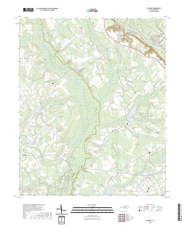 2022 Tar Heel2022 Print · USGSThe borderlands of Bladen and Robeson Counties are shown here in the early 2020s, dominated by the intricate wetland systems of the Cape Fear valley. Genealogists can trace family heritage through numerous rural burial sites like Old Pait Cem and Burney Cem, or locate landmarks like Hester Millpond.
 - 2022 Map of Council, 2022 Print
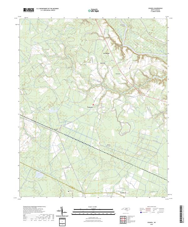 2022 Council2022 Print · USGSBladen County's landscape of Carolina bays and river bends is captured here in the early 2020s. Researchers can trace family sites near McEwen Cem or follow the old routes of Elwell Ferry Rd through Council and Buckhead.
 - 2022 Map of Jerome, 2022 Print
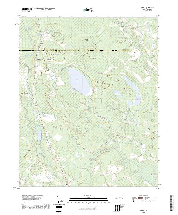 2022 Jerome2022 Print · USGSThe Carolina Bay country of Bladen County is revealed in this modern survey of the pocosin wetlands and rural crossroads. Genealogists and naturalists can trace family-named sites like Jessups Pond, Sessoms Bay, and the settlement at Jerome.
End of results
Showing maps 1-24 of 24
Top cities of Bladen County
- Elizabethtown historical maps
- Bladenboro historical maps
- Clarkton historical maps
- White Lake historical maps
- East Arcadia historical maps
- Butters historical maps
See more
Frequently asked questions
- What are the different types of historical maps available for Bladen County?
- What is the oldest map of Bladen County?
- Where can I purchase historical maps of Bladen County for my home or office?
- Where can I download high-res historical maps of Bladen County?
- Are there historical topographic maps available for Bladen County?
- Is there historical aerial imagery available for Bladen County?
- Where are historical maps of Bladen County sourced from?