2000s (21st Century) Maps of Bladen County, North Carolina
Explore 124 historic maps of Bladen County from the 2000s (21st Century). These maps offer a rare glimpse into what life looked like during the 2000s — showing old roads, neighborhoods, homes, and landmarks that have changed or disappeared over time.
Whether you're researching your family's past, planning a metal detecting trip, or studying how Bladen County's landscape evolved across the 2000s, these high-resolution maps are a powerful tool for exploring the history of this region.
- Focus on a specific era: All maps on this page are from the 2000s, giving you a focused view of this time period.
- See what’s changed: Compare century-old streets, trails, and buildings to today's modern landscape using overlays and satellite layers.
- Research with precision: Use these maps for genealogy, historical research, land use analysis, or educational projects.
- View, download, or print: Maps are fully viewable online in high resolution, and can be downloaded or printed for your own records.
Start exploring Bladen County's history through authentic maps from the 2000s. This is your window into the past.
Bladen County, NC maps
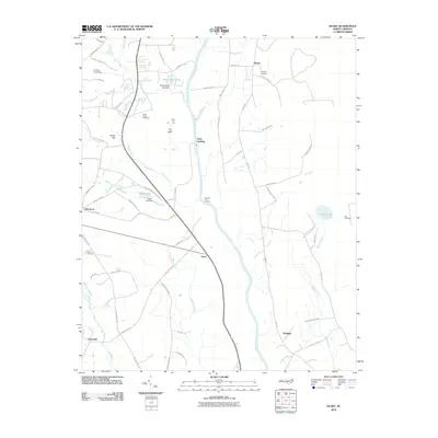
(124)- 2002 Map of Council
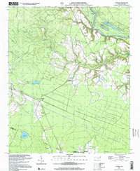 2002 Council2002 Print · USGSThe Bladen County wetlands and Cape Fear riverbanks come alive in this turn-of-the-millennium survey of the coastal plain. Researchers can trace rural life through landmarks like Council, Zion Ch, and the extensive swamp networks of Seven Mile Bay.
 - 2002 Map of Singletary Lake
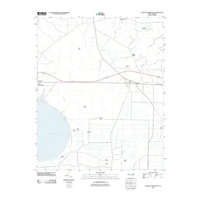
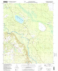 2002 Singletary Lake2002 Print · USGSBladen County at the turn of the millennium remains a landscape defined by the Cape Fear River and its mysterious Carolina Bays. Researchers can trace riverfront history through Coal Mine Landing and locate family sites like Atkinson Cem or Zion Chapel.
 - 2002 Map of Jerome
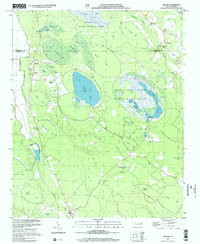 2002 Jerome2002 Print · USGSBladen County at the turn of the millennium shows a landscape of protected wetlands and rural congregations. Trace local history through family-named bays and churches like Sharon Ch, China Grove Ch, and the waters of Suggs Mill Pond.
 - 2002 Map of Clarkton
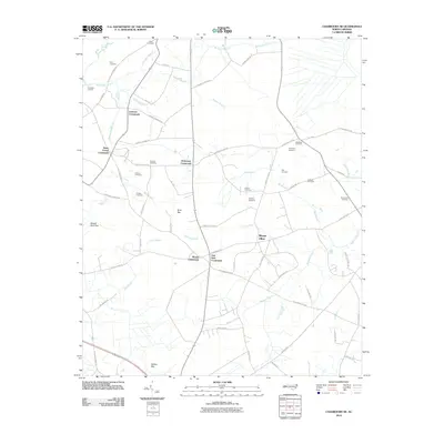
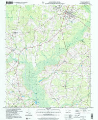 2002 Clarkton2002 Print · USGSCentered on the railroad town of Clarkton at the start of the twenty-first century, this survey covers the wet lowlands of Bladen and Columbus Counties. Researchers can trace numerous family-centered landmarks and rural congregations like Graham Tabernacle, St James Ch, and Wootens Crossroads.
 - 2010 Map of Elizabethtown North, 2010 Print
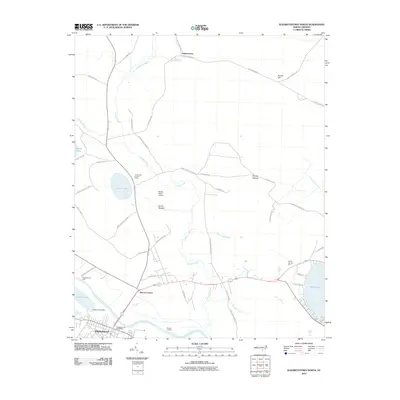 2010 Elizabethtown North2010 Print · USGSCovers Bladen County, including Elizabethtown, White Lake, and other nearby areas
 - 2010 Map of Tomahawk, 2010 Print
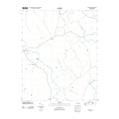 2010 Tomahawk2010 Print · USGSCovers Bladen County, including Fowler Landing, Murphytown, and other nearby areas
 - 2010 Map of Ammon, 2010 Print
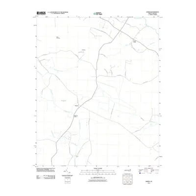 2010 Ammon2010 Print · USGSCovers Bladen County, including Peters Creek, Ammon, and other nearby areas
 - 2010 Map of White Lake, 2010 Print
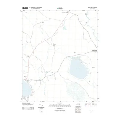 2010 White Lake2010 Print · USGSCovers Bladen County, including White Lake, Hickory Grove Crossroads, and other nearby areas
 - 2010 Map of Chadbourn NE, 2010 Print
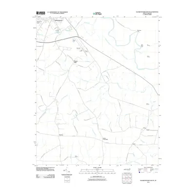
 2010 Chadbourn NE2010 Print · USGSCovers Bladen County, including Mount Olive, Wyatts Crossroads, and other nearby areas
 - 2010 Map of Elizabethtown South, 2010 Print
 2010 Elizabethtown South2010 Print · USGSCovers Bladen County, including Elizabethtown, Lisbon, and other nearby areas
 - 2010 Map of Atkinson, 2010 Print
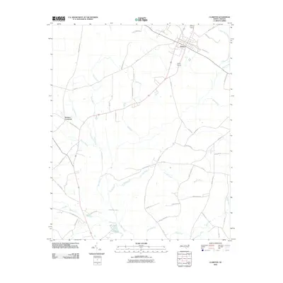
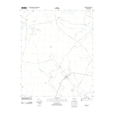 2010 Atkinson2010 Print · USGSCovers Bladen County, including Atkinson, Reb Kee, and other nearby areas
 - 2010 Map of Bladenboro, 2010 Print
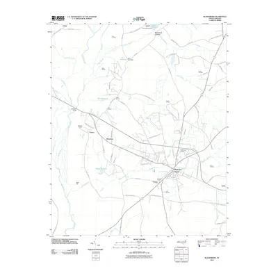 2010 Bladenboro2010 Print · USGSCovers Bladen County, including Bladenboro, Butters, and other nearby areas
 - 2010 Map of Lake Waccamaw East, 2010 Print
 2010 Lake Waccamaw East2010 Print · USGSCovers Bladen County, including Lake Waccamaw, Bolton, and other nearby areas
 - 2010 Map of Singletary Lake, 2010 Print
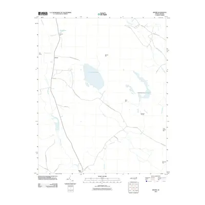
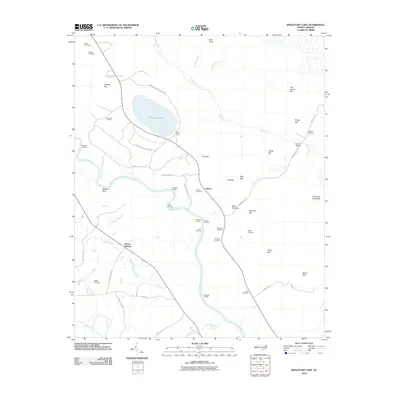 2010 Singletary Lake2010 Print · USGSCovers Bladen County, including Lagoon, Bladen Springs, and other nearby areas
 - 2010 Map of Clarkton, 2010 Print
 2010 Clarkton2010 Print · USGSCovers Bladen County, including Clarkton, Wootens Crossroads, and other nearby areas
 - 2010 Map of Kelly, 2010 Print
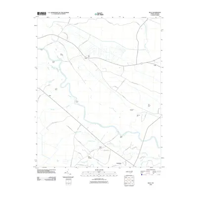 2010 Kelly2010 Print · USGSCovers Bladen County, including East Arcadia, Sandyfield, and other nearby areas
 - 2010 Map of Duart, 2010 Print
 2010 Duart2010 Print · USGSCovers Bladen County, including Elease, Tolar Landing, and other nearby areas
 - 2010 Map of Garland, 2010 Print
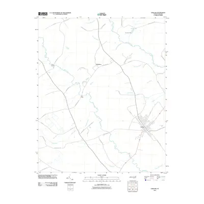 2010 Garland2010 Print · USGSCovers Bladen County, including Parkersburg, Garland, and other nearby areas
 - 2010 Map of Dublin, 2010 Print
 2010 Dublin2010 Print · USGSCovers Bladen County, including Elizabethtown, Dublin, and other nearby areas
 - 2010 Map of Point Caswell, 2010 Print
 2010 Point Caswell2010 Print · USGSCovers Bladen County, including Long Bluff Landing, Sparkleberry Landing, and other nearby areas
 - 2010 Map of Tar Heel, 2010 Print
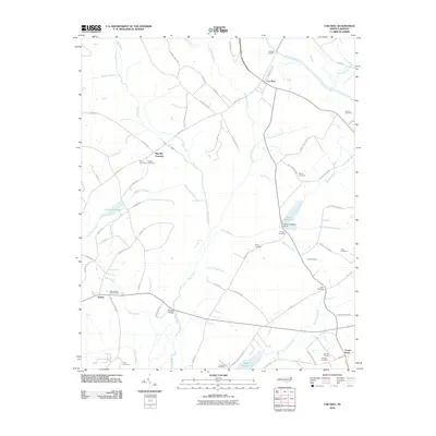 2010 Tar Heel2010 Print · USGSCovers Bladen County, including Tar Heel, Smiths, and other nearby areas
 - 2010 Map of Emerson, 2010 Print
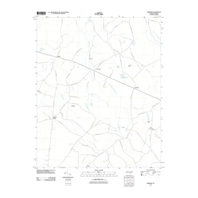 2010 Emerson2010 Print · USGSCovers Bladen County, including Emerson, Farmers Union, and other nearby areas
 - 2010 Map of Rowan, 2010 Print
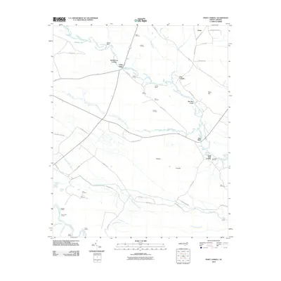
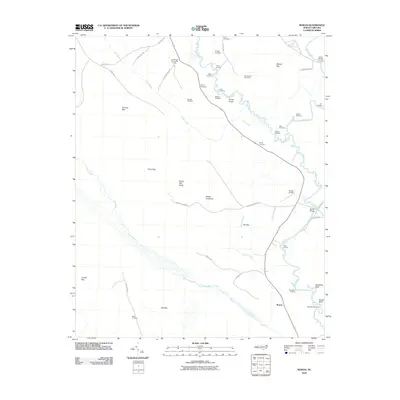 2010 Rowan2010 Print · USGSCovers Bladen County, including Rowan, Sampson County, and other nearby areas
 - 2010 Map of Abbottsburg, 2010 Print
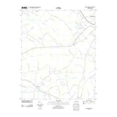 2010 Abbottsburg2010 Print · USGSCovers Bladen County, including Elizabethtown, Abbottsburg, and other nearby areas
 - 2010 Map of Jerome, 2010 Print
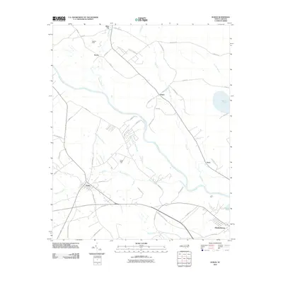
 2010 Jerome2010 Print · USGSCovers Bladen County, including Jerome, White Oak, and other nearby areas
Showing maps 1-25 of 124
Top cities of Bladen County
- Elizabethtown historical maps
- Bladenboro historical maps
- Clarkton historical maps
- White Lake historical maps
- East Arcadia historical maps
- Butters historical maps
See more
Frequently asked questions
- What are the different types of historical maps available for Bladen County?
- What is the oldest map of Bladen County?
- Where can I purchase historical maps of Bladen County for my home or office?
- Where can I download high-res historical maps of Bladen County?
- Are there historical topographic maps available for Bladen County?
- Is there historical aerial imagery available for Bladen County?
- Where are historical maps of Bladen County sourced from?