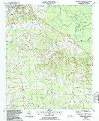
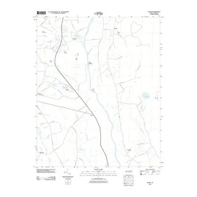
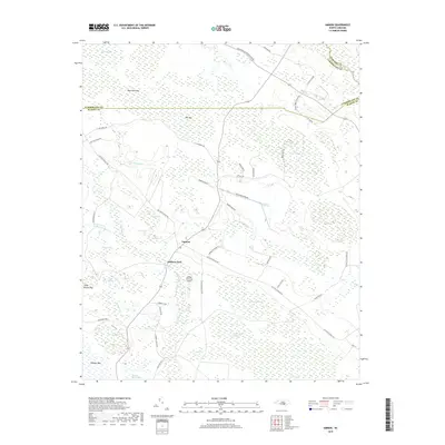
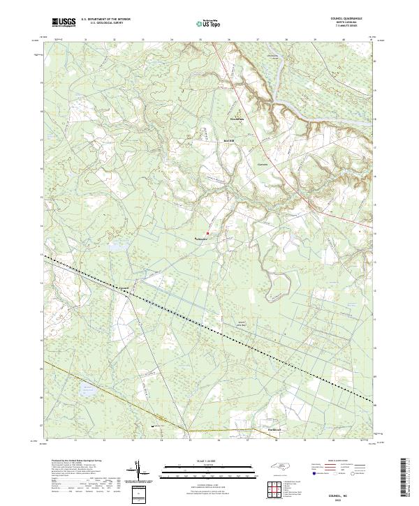
2002 Map of Council
USGS Topo · Published 2002About this map
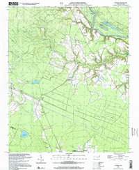
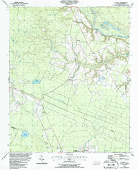
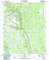
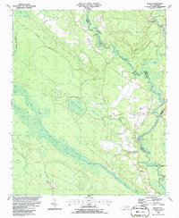
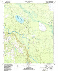
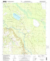
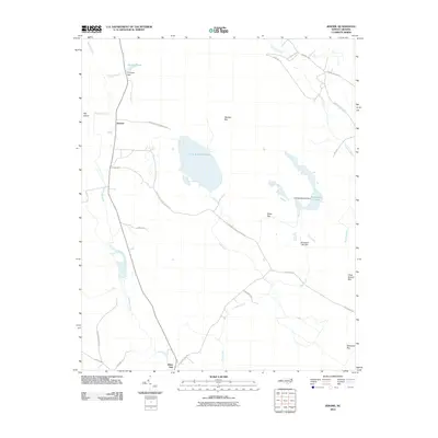
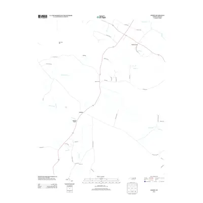
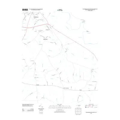
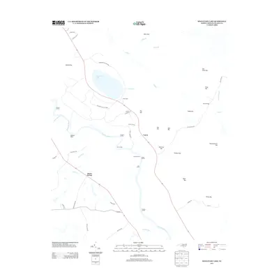
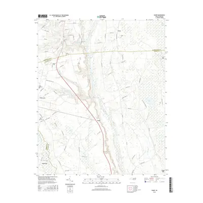
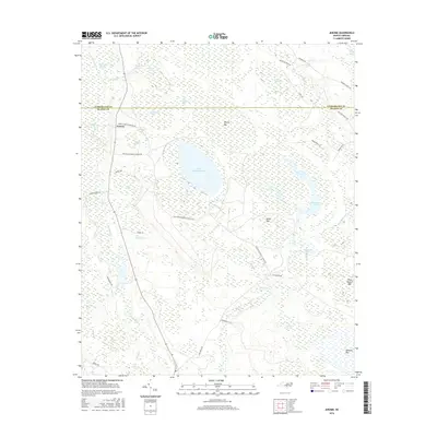
Seven Mile Bay dominates the coastal plain landscape of southeastern North Carolina, characterized by a series of elliptical depressions including Dismal Bay, Juniper Bay, and Little Horseshoe Bay. The area shows a transition from the dense wetlands and Carolina bays to the more elevated river bluffs overlooking the Cape Fear River. Small agricultural and timber-linked settlements like Council, Baltimore, and Red Hill are dispersed across the terrain, connected by rural roads and localized drainage infrastructure.
Find a feature on this map
25 named features on this map. Tap any name to fly to it.
Don’t see what you’re looking for? This feature index may not catch every label — zoom into the map to look around manually.
Map Details
Editions of this 2002 Council Map
This is the sole edition of this map. No revisions or reprints were ever made.
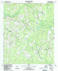
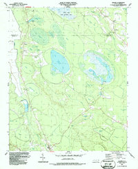
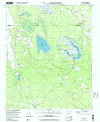
Historical Maps of Carvers Through Time
63 maps found
1986 Council
Bladen County, NC
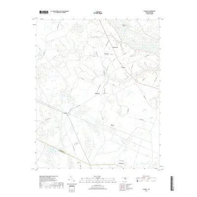
1986 Duart
Bladen County, NC
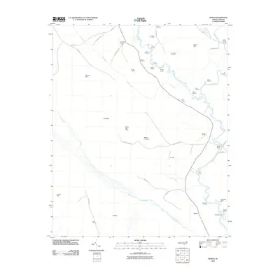
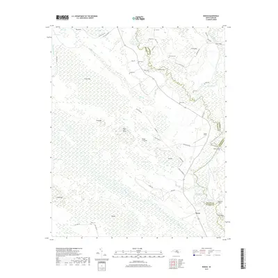
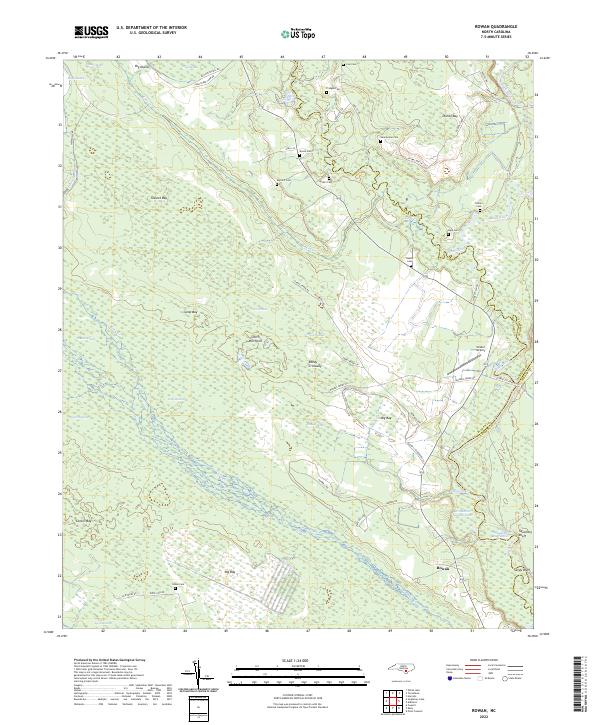
1986 Rowan
Bladen County, NC
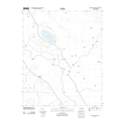
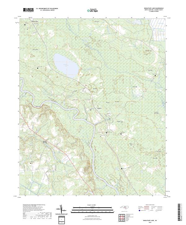
1986 Singletary Lake
Bladen County, NC
1987 Abbottsburg
Bladen County, NC
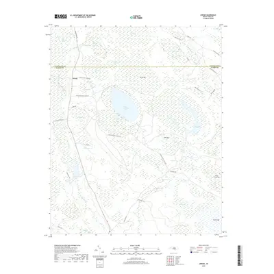
1987 Ammon
Bladen County, NC
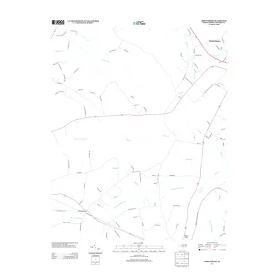
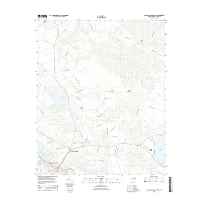
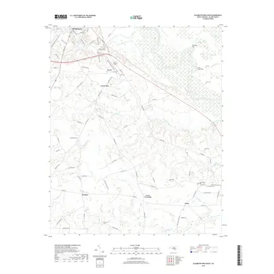
1987 Elizabethtown North
Bladen County, NC
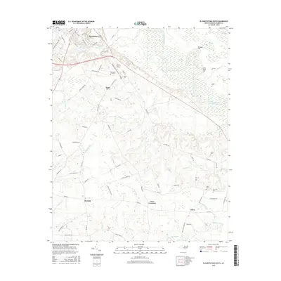
1987 Elizabethtown South
Bladen County, NC
1987 Emerson
Bladen County, NC
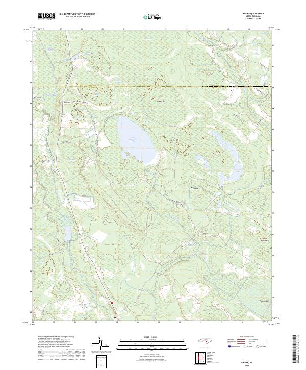
1987 Jerome
Bladen County, NC
2002 Council
Bladen County, NC
2002 Jerome
Bladen County, NC
2002 Singletary Lake
Bladen County, NC
2010 Abbottsburg
Bladen County, NC
2010 Ammon
Bladen County, NC
2010 Council
Bladen County, NC
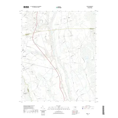
2010 Duart
Bladen County, NC
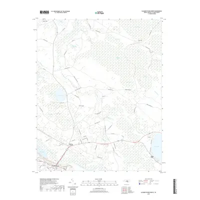
2010 Elizabethtown North
Bladen County, NC
2010 Elizabethtown South
Bladen County, NC
2010 Emerson
Bladen County, NC
2010 Jerome
Bladen County, NC
2010 Rowan
Bladen County, NC
2010 Singletary Lake
Bladen County, NC
2013 Abbottsburg
Bladen County, NC
2013 Ammon
Bladen County, NC
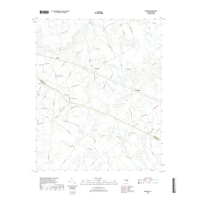
2013 Council
Bladen County, NC
2013 Duart
Bladen County, NC
2013 Elizabethtown North
Bladen County, NC
2013 Elizabethtown South
Bladen County, NC
2013 Emerson
Bladen County, NC
2013 Jerome
Bladen County, NC
2013 Rowan
Bladen County, NC
2013 Singletary Lake
Bladen County, NC
2016 Abbottsburg
Bladen County, NC
2016 Ammon
Bladen County, NC
2016 Council
Bladen County, NC
2016 Duart
Bladen County, NC
2016 Elizabethtown North
Bladen County, NC
2016 Elizabethtown South
Bladen County, NC
2016 Emerson
Bladen County, NC
2016 Jerome
Bladen County, NC
2016 Rowan
Bladen County, NC
2016 Singletary Lake
Bladen County, NC
2019 Abbottsburg
Bladen County, NC
2019 Ammon
Bladen County, NC
2019 Council
Bladen County, NC
2019 Duart
Bladen County, NC
2019 Elizabethtown North
Bladen County, NC
2019 Elizabethtown South
Bladen County, NC
2019 Emerson
Bladen County, NC
2019 Jerome
Bladen County, NC
2019 Rowan
Bladen County, NC
2019 Singletary Lake
Bladen County, NC
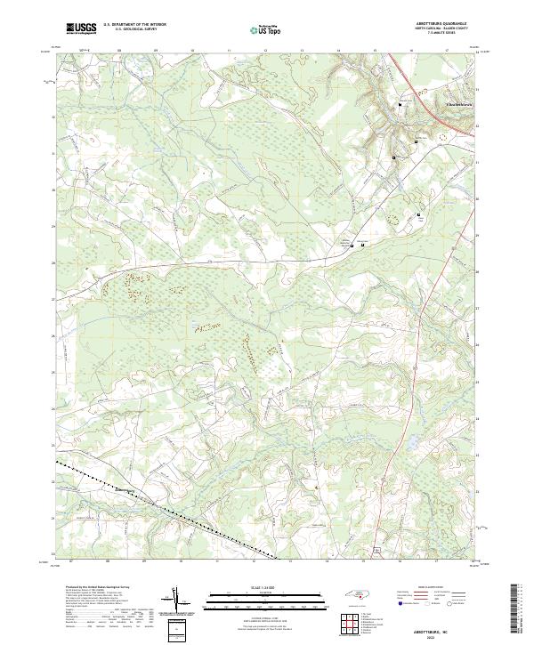
2022 Abbottsburg
Bladen County, NC
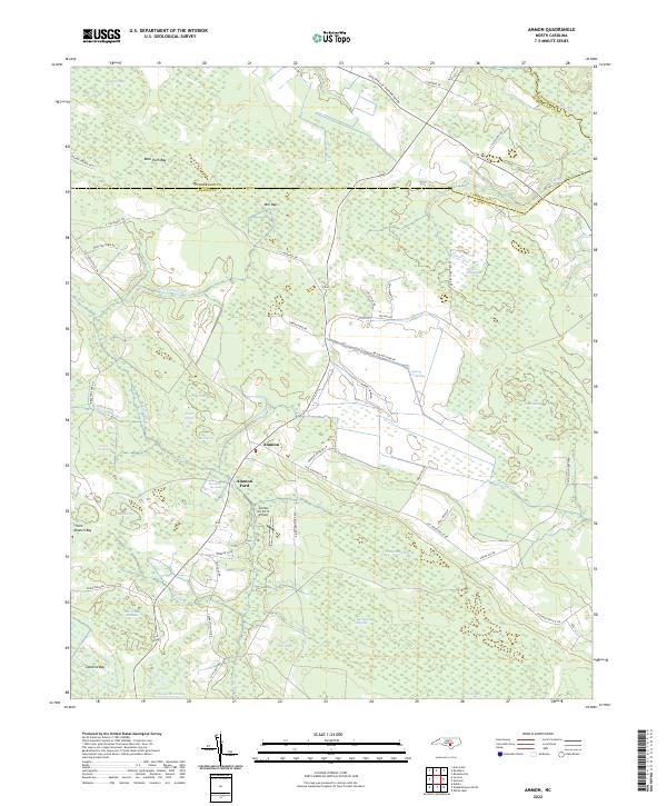
2022 Ammon
Bladen County, NC
2022 Council
Bladen County, NC
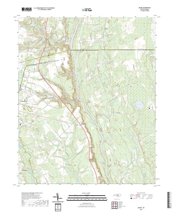
2022 Duart
Bladen County, NC
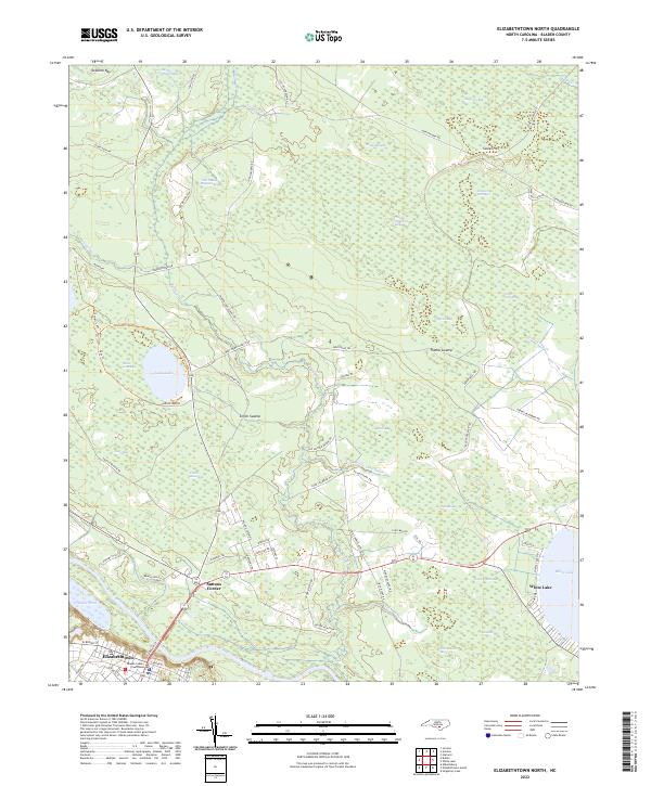
2022 Elizabethtown North
Bladen County, NC
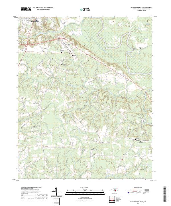
2022 Elizabethtown South
Bladen County, NC
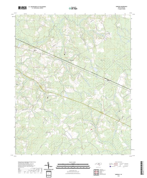
2022 Emerson
Bladen County, NC
2022 Jerome
Bladen County, NC
2022 Rowan
Bladen County, NC
2022 Singletary Lake
Bladen County, NC