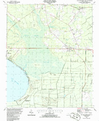
1986 Map of Lake Waccamaw East
USGS Topo · Published 1986About this map
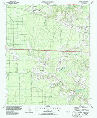
Lake Waccamaw dominates the southwestern corner of this survey, bordered by the protected wetlands of Lake Waccamaw State Park. The landscape is defined by the vast reach of the Green Swamp and Friar Swamp, interspersed with drier terrain features like Hickory Island and Beech Island. Transport and commerce follow a linear east-west corridor, where the Seaboard System railroad and highways 74 and 76 connect the settlements of Wananish, Lake Waccamaw, and Bolton.
Find a feature on this map
37 named features on this map. Tap any name to fly to it.
Don’t see what you’re looking for? This feature index may not catch every label — zoom into the map to look around manually.
Map Details
Editions of this 1986 Lake Waccamaw East Map
This is the sole edition of this map. No revisions or reprints were ever made.
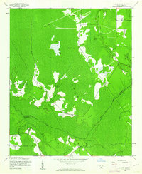
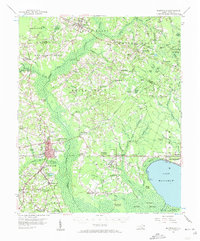
Other maps of this area
1942 · Juniper Creek
USGS Topo · 1:24,000

1943 · Honey Island
USGS Topo · 1:24,000

1953 · Florence
USGS Topo · 1:250,000

1954 · Florence
USGS Topo · 1:250,000
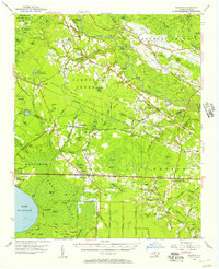
1954 · Bolton
USGS Topo · 1:62,500
1955 · Whiteville
USGS Topo · 1:62,500
1986 · Freeman
USGS Topo · 1:24,000
1986 · Kelly
USGS Topo · 1:24,000
1986 · Council
USGS Topo · 1:24,000

1986 · Whiteville
USGS Topo · 1:100,000