Old Maps of Ocean Isle Beach, North Carolina for Metal Detecting
Plan your next treasure hunt with 19 historic maps of Ocean Isle Beach. Find old homesites, ghost towns, trails, and gathering spots that may be lost to time — perfect for identifying promising metal detecting locations.
- Locate forgotten sites: Uncover places like long-lost settlements, abandoned rail lines, or gathering spots.
- Plan better hunts: Use map overlays combined with LiDAR or satellite views to narrow in on historically rich areas.
- Made for detectorists: Thousands of hobbyists use these maps to discover relics, coins, and hidden history.
Use these historic maps to boost your research and find new opportunities beneath the surface of Ocean Isle Beach.
Ocean Isle Beach, NC maps
(19)- 1943 Map of Shallotte, 1962 Print
 1943 Shallotte1962 Print · USGSThe Brunswick County coast in the 1940s reveals a quiet network of tidal sounds and timberlands before modern development. Genealogists can trace family sites like Russtown, Register Cem, and local landmarks such as Brick Landing and Mintz Dam.
 - 1944 Map of Shallotte
 1944 Shallotte1944 Print · USGSThe Brunswick County coast comes alive in the 1940s, showing the intricate tidal networks and small communities of the North Carolina shore. Trace local heritage through landmarks like Russtown, the Brunswick Co School, and the Coast Guard Station at the inlet.
 - 1949 Map of Georgetown, 1953 Print
 1949 Georgetown1953 Print · USGSThe South Carolina coast and North Carolina borderlands appear here in the mid-century, prior to the major modern development of the Grand Strand. Genealogists and historians can trace the rail networks of the Seaboard Air Line Railroad and locate coastal landmarks from Fort Caswell to McClellanville.
 - 1950 Map of Shallotte, 1951 Print
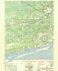 1950 Shallotte1951 Print · USGSThe Brunswick County coast comes alive in this mid-century survey, showcasing a landscape of tidal inlets and rural settlements. Genealogists and historians can trace family landmarks like Mintz Cem, locate the old Prison Camp, and follow the Shallotte River to the Brick Ldg.
 - 1967 Map of Georgetown
 1967 Georgetown1967 Print · USGSThe South Carolina Lowcountry and Grand Strand meet in the late sixties, showcasing a coastal landscape transitioning from river-based industry to seaside tourism. Researchers can trace the Intracoastal Waterway past Georgetown or locate historical sites like Fort Fisher and Murrells Inlet.
 - 1974 Map of Georgetown, 1978 Print
 1974 Georgetown1978 Print · USGSThe Carolina coast and Pee Dee region are shown here in the mid-seventies, just as the Grand Strand was maturing into a premier destination. Researchers can trace the inland rail corridors of the Seaboard Coast Line Railroad or explore the coastal reaches of the Cape Romain National Wildlife Refuge and Myrtle Beach State Park.2 unique versions available
 - 1986 Map of Myrtle Beach
 1986 Myrtle Beach1986 Print · USGSThe Grand Strand and Brunswick County coast are captured in the mid-eighties before the late-century development boom. Researchers can trace the footprint of the Myrtle Beach Air Force Base and old coastal settlements like Atlantic Beach and Socastee.
 - 1990 Map of Myrtle Beach
 1990 Myrtle Beach1990 Print · USGSThe Grand Strand and the North Carolina borderlands are captured here in the decade before the base closure. Genealogists and historians can trace the development of Myrtle Beach and North Myrtle Beach alongside rural landmarks like Star Bluff Crossroads and Fort Caswell.
 - 1990 Map of Shallotte, 1991 Print
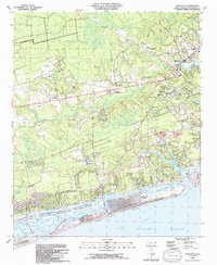 1990 Shallotte1991 Print · USGSThe North Carolina coast at the dawn of the 1990s showcases a transition between quiet wetlands and emerging beach communities. Local historians can trace the growth of Shallotte and Ocean Isle Beach while locating family landmarks like Mintz Cemetery and the Union School.
 - 2010 Map of Shallotte, 2010 Print
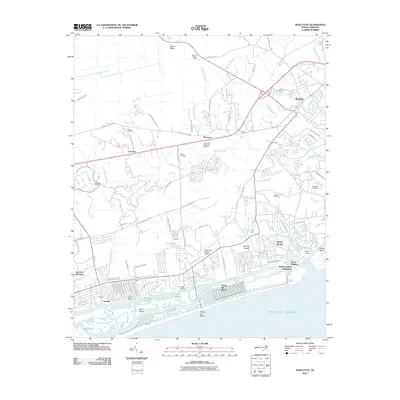 2010 Shallotte2010 Print · USGSThe Brunswick County coast near the end of the first decade of the 2000s shows a landscape of burgeoning coastal plantations and maritime hubs. Researchers can locate family heritage sites like Gurganus Cemetery alongside modern landmarks like Ocean Isle Beach Airport and Lions Paw Golf Links.
 - 2011 Map of Shallotte OE S, 2011 Print
 2011 Shallotte OE S2011 Print · USGSThis coastal survey from the early 2010s captures the edge of the Carolina coastline at the Atlantic Ocean. Local history researchers can trace the coastal street grid, including N Shore Dr, E Main St, and Canal Dr.
 - 2013 Map of Shallotte OE S, 2013 Print
 2013 Shallotte OE S2013 Print · USGSThe North Carolina coast at Sunset Beach is captured in this survey from the early 2010s. Local historians and property researchers can trace the street-level development along N Shore Dr and Canal Dr near the waters of Tubbs Inlet.
 - 2013 Map of Shallotte, 2013 Print
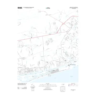 2013 Shallotte2013 Print · USGSCoastal Brunswick County is captured here during a period of significant waterfront expansion and residential development. You can trace the shift from inland landmarks like Shallotte Lookout Tower to modern shorefronts at Ocean Isle Beach and Brick Landing.
 - 2016 Map of Shallotte OE S, 2016 Print
 2016 Shallotte OE S2016 Print · USGSThe coastal edge of Brunswick County comes into focus in this mid-2010s survey of the Atlantic shoreline. Genealogists and local historians can trace the early 21st-century footprints of Sunset Beach and Ocean Isle Beach near the waters of Tubbs Inlet.
 - 2016 Map of Shallotte, 2016 Print
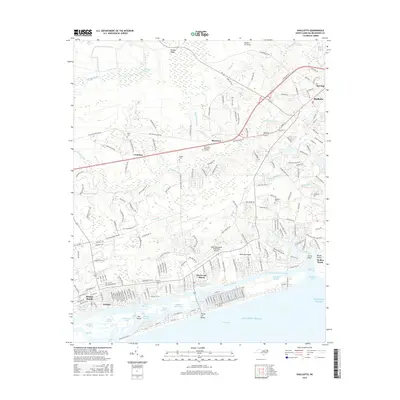 2016 Shallotte2016 Print · USGSCoastal Brunswick County comes to life in this detailed view of the shoreline and swampy interior. Trace local genealogy and land use through the Mintz Cem, the winding Shallotte River, and the established communities of Sunset Beach and Shallotte.
 - 2019 Map of Shallotte OE S, 2019 Print
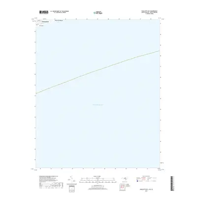 2019 Shallotte OE S2019 Print · USGSThe coastal fringe of Brunswick County is captured here during the late 2010s, showing the developed barrier islands of Sunset Beach and Ocean Isle Beach. Researchers can trace the narrow passage of Tubbs Inlet and the layout of beach roads like Main St E.
 - 2019 Map of Shallotte, 2019 Print
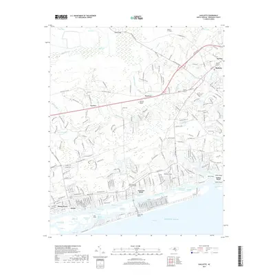 2019 Shallotte2019 Print · USGSCoastal Brunswick County in the late 2010s shows a landscape defined by the Intracoastal Waterway and the winding Shallotte River. Genealogists and historians can locate family burial grounds like Mintz Cem and Register Cem alongside coastal developments at Sunset Beach.
 - 2022 Map of Shallotte OE S, 2022 Print
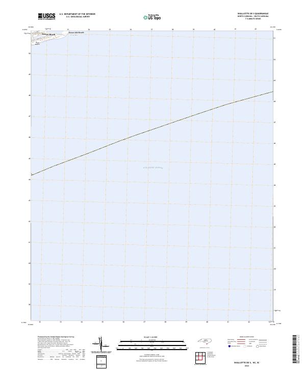 2022 Shallotte OE S2022 Print · USGSThe Brunswick County coastline is captured here in the early 2020s, focusing on the barrier islands and maritime waters. You can trace the residential street grids of Sunset Beach and Ocean Isle Beach near the waters of Tubbs Inlet.
 - 2022 Map of Shallotte, 2022 Print
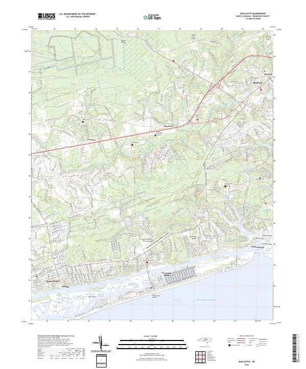 2022 Shallotte2022 Print · USGSThe Brunswick County coast is documented here in the early 2020s, from the inland reaches of the Shallotte River to the barrier islands. You can trace old family burial grounds like Mintz Cem and Register Cem or explore the developed waterfronts of Holden Beach and Sunset Beach.
End of results
Showing maps 1-19 of 19
Top cities near Ocean Isle Beach
- North Myrtle Beach historical maps
- Oak Island historical maps
- Sunset Beach historical maps
- Carolina Shores historical maps
- Shallotte historical maps
- Holden Beach historical maps
See more
Frequently asked questions
- What are the different types of historical maps available for Ocean Isle Beach?
- What is the oldest map of Ocean Isle Beach?
- Where can I purchase historical maps of Ocean Isle Beach for my home or office?
- Where can I download high-res historical maps of Ocean Isle Beach?
- Are there historical topographic maps available for Ocean Isle Beach?
- Is there historical aerial imagery available for Ocean Isle Beach?
- Where are historical maps of Ocean Isle Beach sourced from?