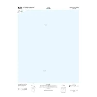
2013 Map of Shallotte OE S
USGS Topo · Published 2013About this map
Sunset Beach occupies a narrow sliver of the shoreline at the northwestern edge of this maritime sheet, where the coastal street grid meets the waters of the Atlantic Ocean. The map documents the residential layout of the barrier island just before the mid-2010s, showing the intersection of local thoroughfares like N Shore Dr and E Main St as they parallel the coast. To the west, the shifting sands of Tubbs Inlet mark the natural break between island segments, a feature of significant interest for those studying shoreline migration and coastal development. This specific survey captures the area's geography during a period of modern stability, providing a clear record of the infrastructure and natural waterways that define this portion of the Brunswick County coast.
Find a feature on this map
7 named features on this map. Tap any name to fly to it.
Don’t see what you’re looking for? This feature index may not catch every label — zoom into the map to look around manually.
Map Details
Editions of this 2013 Shallotte OE S Map
This is the sole edition of this map. No revisions or reprints were ever made.
Other maps of this area

1943 · Little River
USGS Topo · 1:31,680

1943 · Calabash
USGS Topo · 1:31,680

1943 · Holden Beach
USGS Topo · 1:24,000

1943 · Shallotte
USGS Topo · 1:24,000

1944 · Shallotte
USGS Topo · 1:31,680

1949 · Georgetown
USGS Topo · 1:250,000
1950 · Shallotte
USGS Topo · 1:25,000
1953 · Little River
USGS Topo · 1:24,000
1953 · Calabash
USGS Topo · 1:24,000

1967 · Georgetown
USGS Topo · 1:250,000