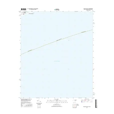
2016 Map of Shallotte OE S
USGS Topo · Published 2016About this map
Sunset Beach and Ocean Isle Beach occupy the narrow coastal strand at the northern edge of this maritime survey, where the Atlantic shoreline meets the North Carolina coast. The map captures the delicate interface of the Atlantic Ocean and the mainland, centered on the waters of Long Bay and the tidal opening of Tubbs Inlet. Landward features are concentrated along the barrier island, including Bald Beach and the coastal corridor of N Shore Dr, providing a focused view of the beachfront layout before the sea dominates the southern three-quarters of the sheet. This 2016 survey documents the precise coastal boundaries of Brunswick Co during a period of modern development along these popular southern beaches.
Find a feature on this map
9 named features on this map. Tap any name to fly to it.
Don’t see what you’re looking for? This feature index may not catch every label — zoom into the map to look around manually.
Map Details
Editions of this 2016 Shallotte OE S Map
This is the sole edition of this map. No revisions or reprints were ever made.
Other maps of this area

1943 · Little River
USGS Topo · 1:31,680

1943 · Calabash
USGS Topo · 1:31,680

1943 · Holden Beach
USGS Topo · 1:24,000

1943 · Shallotte
USGS Topo · 1:24,000

1944 · Shallotte
USGS Topo · 1:31,680

1949 · Georgetown
USGS Topo · 1:250,000
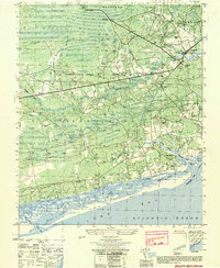
1950 · Shallotte
USGS Topo · 1:25,000
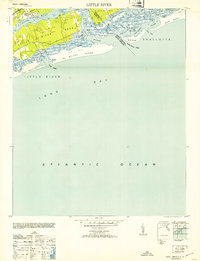
1953 · Little River
USGS Topo · 1:24,000
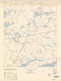
1953 · Calabash
USGS Topo · 1:24,000

1967 · Georgetown
USGS Topo · 1:250,000