Old Maps of Asheville, North Carolina
Explore 38 old maps of Asheville, spanning from 1894 to today. These high-resolution historic maps reveal how streets, neighborhoods, landmarks, and natural features evolved over time — perfect for genealogy, metal detecting, research, and local history exploration.
What you can do with these maps:
- See how Asheville changed over time: Compare historical maps to modern-day views to trace roads, homesites, rail lines & more.
- View detailed metadata: Each map includes creators, publishers, year, scale, and archive source.
- Overlay maps with satellite & LiDAR: Visualize the past alongside modern tools to explore terrain & human change.
- Trusted historical sources: Maps sourced from the USGS, Library of Congress, and other archives.
- Access maps your way: View online, download high-res files, or order prints for personal or research use.
Start exploring old maps of Asheville to uncover forgotten places, hidden landmarks, and the deep history beneath your feet.
Asheville, NC maps
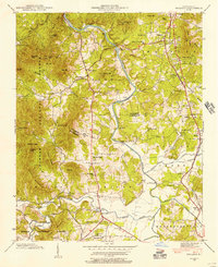
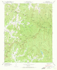
(38)- 1894 Map of Asheville
 1894 Asheville1894 Print · USGSCovers Asheville, including Waynesville, Canton, and other nearby areas2 unique versions available
 - 1900 Map of Mount Mitchell, 1963 Print
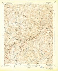
 1900 Mount Mitchell1963 Print · USGSCovers Asheville, including Black Mountain, Marion, and other nearby areas3 unique versions available
 - 1901 Map of Asheville
 1901 Asheville1901 Print · USGSCovers Asheville, including Waynesville, Canton, and other nearby areas9 unique versions available
 - 1902 Map of Mount Mitchell, 1937 Print
 1902 Mount Mitchell1937 Print · USGSCovers Asheville, including Black Mountain, Marion, and other nearby areas3 unique versions available
 - 1905 Map of Pisgah, 1956 Print
 1905 Pisgah1956 Print · USGSCovers Asheville, including Hendersonville, Waynesville, and other nearby areas
 - 1906 Map of Pisgah, 1934 Print
 1906 Pisgah1934 Print · USGSCovers Asheville, including Hendersonville, Waynesville, and other nearby areas2 unique versions available
 - 1935 Map of Craggy Pinnacle
 1935 Craggy Pinnacle1935 Print · USGSCovers Asheville, including Swannanoa, Blackberry Inn, and other nearby areas2 unique versions available
 - 1936 Map of Enka
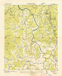
 1936 Enka1936 Print · USGSCovers Asheville, including Bent Creek, Luther, and other nearby areas
 - 1936 Map of Weaverville
 1936 Weaverville1936 Print · USGSCovers Asheville, including Woodfin, Weaverville, and other nearby areas
 - 1936 Map of Skyland
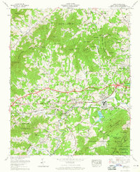
 1936 Skyland1936 Print · USGSCovers Asheville, including Fletcher, Mills River, and other nearby areas
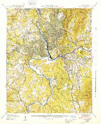
 - 1936 Map of Asheville
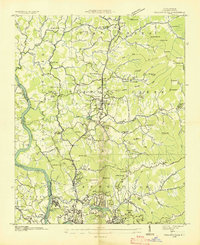
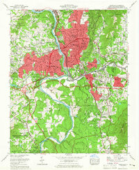
 1936 Asheville1936 Print · USGSCovers Asheville, including Woodfin, Biltmore Forest, and other nearby areas
 - 1941 Map of Enka, 1956 Print
 1941 Enka1956 Print · USGSCovers Asheville, including Bent Creek, Luther, and other nearby areas
 - 1942 Map of Enka
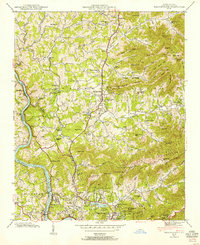
 1942 Enka1942 Print · USGSCovers Asheville, including Bent Creek, Luther, and other nearby areas2 unique versions available
 - 1942 Map of Weaverville, 1954 Print
 1942 Weaverville1954 Print · USGSCovers Asheville, including Woodfin, Weaverville, and other nearby areas
 - 1942 Map of Skyland, 1956 Print
 1942 Skyland1956 Print · USGSCovers Asheville, including Fletcher, Mills River, and other nearby areas2 unique versions available
 - 1943 Map of Asheville
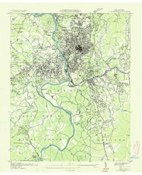
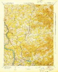
 1943 Asheville1943 Print · USGSCovers Asheville, including Woodfin, Biltmore Forest, and other nearby areas2 unique versions available
 - 1943 Map of Weaverville
 1943 Weaverville1943 Print · USGSCovers Asheville, including Woodfin, Weaverville, and other nearby areas2 unique versions available
 - 1943 Map of Skyland
 1943 Skyland1943 Print · USGSCovers Asheville, including Fletcher, Mills River, and other nearby areas
 - 1946 Map of Craggy Pinnacle, 1972 Print
 1946 Craggy Pinnacle1972 Print · USGSCovers Asheville, including Swannanoa, Blackberry Inn, and other nearby areas2 unique versions available
 - 1947 Map of Craggy Pinnacle
 1947 Craggy Pinnacle1947 Print · USGSCovers Asheville, including Swannanoa, Blackberry Inn, and other nearby areas6 unique versions available
 - 1955 Map of Knoxville
 1955 Knoxville1955 Print · USGSCovers Asheville, including Knoxville, Maryville, and other nearby areas
 - 1957 Map of Knoxville, 1966 Print
 1957 Knoxville1966 Print · USGSCovers Asheville, including Knoxville, Maryville, and other nearby areas4 unique versions available
 - 1960 Map of Knoxville
 1960 Knoxville1960 Print · USGSCovers Asheville, including Knoxville, Maryville, and other nearby areas2 unique versions available
 - 1961 Map of Asheville, 1965 Print
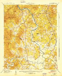
 1961 Asheville1965 Print · USGSCovers Asheville, including Woodfin, Biltmore Forest, and other nearby areas3 unique versions available
 - 1961 Map of Enka, 1965 Print
 1961 Enka1965 Print · USGSCovers Asheville, including Bent Creek, Luther, and other nearby areas4 unique versions available
Showing maps 1-25 of 38
Top cities near Asheville
- Hendersonville historical maps
- Black Mountain historical maps
- Fletcher historical maps
- Mills River historical maps
- Swannanoa historical maps
- Royal Pines historical maps
See more
Top neighborhoods of Asheville
- Oak Forest historical maps
- Dogwood Grove historical maps
- Grace historical maps
- Haw Creek historical maps
- Royal Pines historical maps
- West Asheville historical maps
See more
Frequently asked questions
- What are the different types of historical maps available for Asheville?
- What is the oldest map of Asheville?
- Where can I purchase historical maps of Asheville for my home or office?
- Where can I download high-res historical maps of Asheville?
- Are there historical topographic maps available for Asheville?
- Is there historical aerial imagery available for Asheville?
- Where are historical maps of Asheville sourced from?