1940s Maps of Asheville, North Carolina
Explore 9 historic maps of Asheville from the 1940s. These maps offer a rare glimpse into what life looked like during the 1940s — showing old roads, neighborhoods, homes, and landmarks that have changed or disappeared over time.
Whether you're researching your family's past, planning a metal detecting trip, or studying how Asheville's landscape evolved across the 1940s, these high-resolution maps are a powerful tool for exploring the history of this region.
- Focus on a specific era: All maps on this page are from the 1940s, giving you a focused view of this time period.
- See what’s changed: Compare century-old streets, trails, and buildings to today's modern landscape using overlays and satellite layers.
- Research with precision: Use these maps for genealogy, historical research, land use analysis, or educational projects.
- View, download, or print: Maps are fully viewable online in high resolution, and can be downloaded or printed for your own records.
Start exploring Asheville's history through authentic maps from the 1940s. This is your window into the past.
Asheville, NC maps
(9)- 1941 Map of Enka, 1956 Print
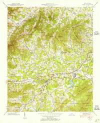 1941 Enka1956 Print · USGSWestern North Carolina's industrial and rural heart comes into focus during the early 1940s, centered on the growth of Enka and its namesake lake. Genealogists and historians can trace family roots through old landmarks like Jugtown, Grace Chapel, and Hice Hill Cem.
 - 1942 Map of Enka
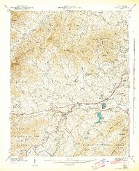 1942 Enka1942 Print · USGSBuncombe County's industrial and rural heart comes alive during the early 1940s, showing the development of Enka Village and the Southern rail line. Genealogists can trace family roots through the Cole Cem, Pisgah Industrial Institute, and dozens of landmarks like Sulphur Springs.2 unique versions available
 - 1942 Map of Weaverville, 1954 Print
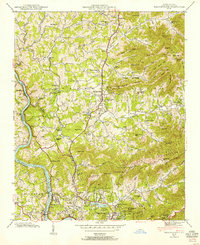 1942 Weaverville1954 Print · USGSBuncombe County's highland terrain in the early 1940s reveals a landscape of mountain settlements and river-valley rail lines. Family historians can locate specific landmarks including Clarks Chapel, the Brittain Cove Sch, and the winding French Broad River.
 - 1942 Map of Skyland, 1956 Print
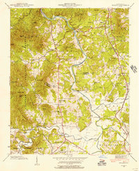 1942 Skyland1956 Print · USGSIn the early 1940s, the mountain communities of Buncombe and Henderson counties were oriented around the French Broad River and the Southern railroad. Researchers can locate family landmarks like the Britton Cem, St Johns Ch, and the old Brickton Sch.2 unique versions available
 - 1943 Map of Asheville
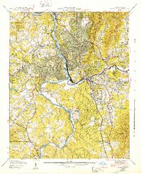 1943 Asheville1943 Print · USGSAsheville during the early 1940s shows a mountain city defined by its river valleys and new infrastructure like the Blue Ridge Parkway. Genealogists and local historians can trace family locations near Violet Hill Cem, Inanda Ch, or the Eliada Orphans Home.2 unique versions available
 - 1943 Map of Weaverville
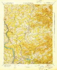 1943 Weaverville1943 Print · USGSThe Buncombe County foothills north of Asheville appear here in the early 1940s, showing a landscape of upland coves and developing mountain communities. Genealogists and local historians can locate family-named landmarks and old meeting houses like Clarks Chapel, Garrison Cem, and the Brittain Cove Sch.2 unique versions available
 - 1943 Map of Skyland
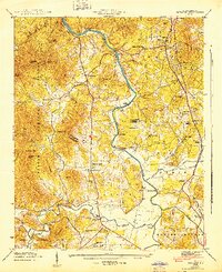 1943 Skyland1943 Print · USGSHenderson and Buncombe County communities thrive along the river valleys and rail lines in the early 1940s. Genealogists and local historians can trace family locations near Fanning Chapel, Britton Cem, and the historic school at Valley Springs Sch.
 - 1946 Map of Craggy Pinnacle, 1972 Print
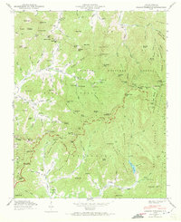 1946 Craggy Pinnacle1972 Print · USGSBuncombe County high country is documented here just after the war as the mountain gaps and valleys supported small rural communities. Genealogists and hikers can trace old family sites like Ballard Cem, early structures at Blackberry Inn, and landmarks along the Blue Ridge Parkway.2 unique versions available
 - 1947 Map of Craggy Pinnacle
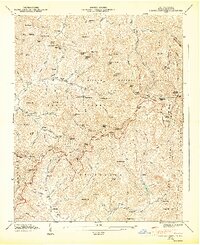 1947 Craggy Pinnacle1947 Print · USGSBuncombe County's high ridges and coves are documented here in the late forties as the Blue Ridge Parkway was still a fresh addition to the skyline. Genealogists can locate family landmarks such as Ballard Cem, Paint Fork Chapel, and the community at Riceville.6 unique versions available
End of results
Showing maps 1-9 of 9
Top cities near Asheville
- Hendersonville historical maps
- Black Mountain historical maps
- Fletcher historical maps
- Mills River historical maps
- Swannanoa historical maps
- Royal Pines historical maps
See more
Top neighborhoods of Asheville
- Dogwood Grove historical maps
- Oak Forest historical maps
- Grace historical maps
- Haw Creek historical maps
- Royal Pines historical maps
- West Asheville historical maps
See more
Frequently asked questions
- What are the different types of historical maps available for Asheville?
- What is the oldest map of Asheville?
- Where can I purchase historical maps of Asheville for my home or office?
- Where can I download high-res historical maps of Asheville?
- Are there historical topographic maps available for Asheville?
- Is there historical aerial imagery available for Asheville?
- Where are historical maps of Asheville sourced from?