2000s (21st Century) Maps of Asheville, North Carolina
Explore 30 historic maps of Asheville from the 2000s (21st Century). These maps offer a rare glimpse into what life looked like during the 2000s — showing old roads, neighborhoods, homes, and landmarks that have changed or disappeared over time.
Whether you're researching your family's past, planning a metal detecting trip, or studying how Asheville's landscape evolved across the 2000s, these high-resolution maps are a powerful tool for exploring the history of this region.
- Focus on a specific era: All maps on this page are from the 2000s, giving you a focused view of this time period.
- See what’s changed: Compare century-old streets, trails, and buildings to today's modern landscape using overlays and satellite layers.
- Research with precision: Use these maps for genealogy, historical research, land use analysis, or educational projects.
- View, download, or print: Maps are fully viewable online in high resolution, and can be downloaded or printed for your own records.
Start exploring Asheville's history through authentic maps from the 2000s. This is your window into the past.
Asheville, NC maps
(30)- 2010 Map of Oteen, 2010 Print
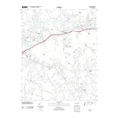 2010 Oteen2010 Print · USGSThe mountain valleys east of Asheville are shown in detail as they appeared a decade ago, from the Swannanoa River corridor to the ridge-top Blue Ridge Pkwy. Genealogists and historians can locate family landmarks such as Patton Cemetery, Cane Creek Cemetery, and the community of Fairview.
 - 2010 Map of Weaverville, 2010 Print
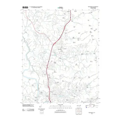 2010 Weaverville2010 Print · USGSNorth of Asheville in the early twenty-first century, this landscape shows the growing connections between Weaverville and Woodfin along the interstate corridor. Researchers can trace ancestral roots through sites like the Vance Homestead and numerous local burial grounds such as Garrison Cemetery and West Memorial Park Cemetery.
 - 2011 Map of Enka, 2011 Print
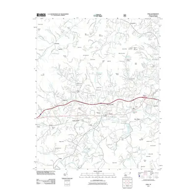 2011 Enka2011 Print · USGSThe Hominy Creek valley and the industrial footprint of Enka are shown here as the suburbs west of Asheville matured. Researchers can locate many family-named landmarks and burial sites, from Gudger Cemetery to the Luther Chapel and Candler School.
 - 2011 Map of Asheville, 2011 Print
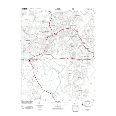 2011 Asheville2011 Print · USGSAsheville and its surrounding mountain gaps are captured in this detailed early 2000s survey of the French Broad valley. Researchers can trace family roots through Riverside Cemetery, locate old neighborhoods like Sayles Village, and follow the historic Blue Ridge Pkwy.
 - 2011 Map of Craggy Pinnacle, 2011 Print
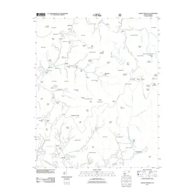 2011 Craggy Pinnacle2011 Print · USGSThe Great Craggy Mountains come to life in this early twenty-first-century survey of the ridges northeast of Asheville. Genealogists and hikers can trace family legacies at Paint Fork Cemetery and explore the surroundings of Bee Tree Lake and Rattlesnake Lodge.
 - 2011 Map of Skyland, 2011 Print
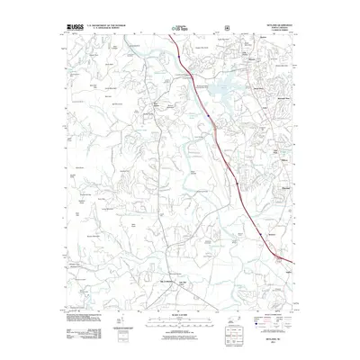 2011 Skyland2011 Print · USGSThe French Broad River valley south of Asheville is shown here in the early twenty-first century as it balances mountain wilderness with expanding suburban life. Trace family history and local landmarks through sites like Hayes Mill, Biltmore Farms, and the Sitton-Gillespie Cemetery.
 - 2013 Map of Craggy Pinnacle, 2013 Print
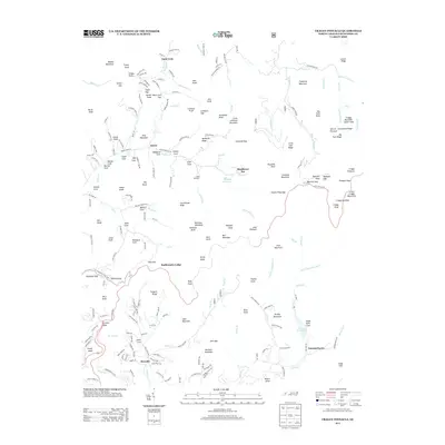 2013 Craggy Pinnacle2013 Print · USGSThe high ridges and deep coves of Buncombe County come into focus during the early 21st century as the Blue Ridge Parkway winds through the peaks. Genealogists and hikers can trace family-named landmarks like McDaires Ridge or locate historical sites such as Rattlesnake Lodge and Blackberry Inn.
 - 2013 Map of Asheville, 2013 Print
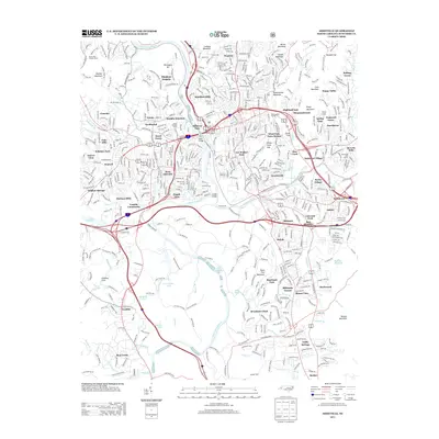 2013 Asheville2013 Print · USGSAsheville in the early twenty-first century reveals a dense network of neighborhoods and mountain topography. Local historians can trace the evolution of Biltmore Forest, the rail corridors at Murphy Junction, and the winding path of the Blue Ridge Pkwy.
 - 2013 Map of Enka, 2013 Print
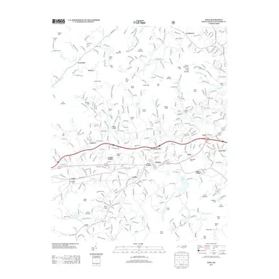 2013 Enka2013 Print · USGSBuncombe County's industrial and residential valleys are documented here during a decade of growth west of Asheville. Genealogists and local historians can trace family roots through the neighborhoods of Enka, the quiet coves of Jugtown, and established landmarks like Snow Hill Church.
 - 2013 Map of Skyland, 2013 Print
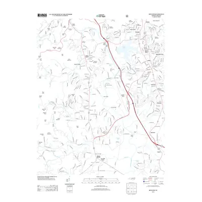 2013 Skyland2013 Print · USGSThe French Broad River valley south of Asheville is captured here during a period of modern growth and traditional industry. Genealogists and local historians can trace the developments around Arden, Fletcher, and Biltmore Farms, or locate landmarks like Hayes Mill and the Christ School.
 - 2013 Map of Oteen, 2013 Print
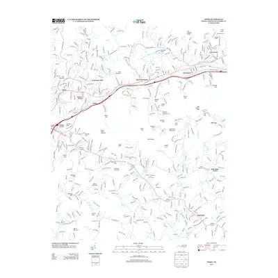 2013 Oteen2013 Print · USGSAsheville and the Swannanoa River valley are shown in the early twenty-first century, balancing modern growth with steep mountain terrain. Genealogists and hikers can trace family-named landmarks from Patton Cove to the heights of High Hickory Knob and Hemphill Knob.
 - 2013 Map of Weaverville, 2013 Print
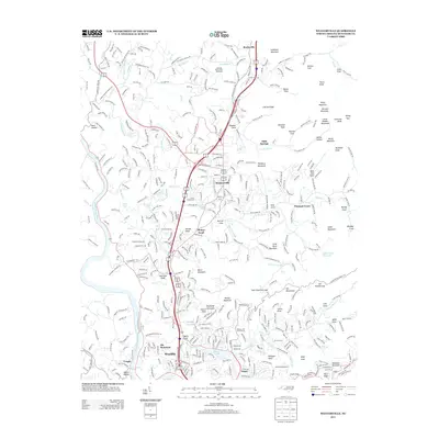 2013 Weaverville2013 Print · USGSThe northern Buncombe County mountains and the French Broad River valley are shown here just after the turn of the millennium. Genealogists can locate family landmarks across Brittain Mountain and Dula Springs, or trace the historical Vance Homestead.
 - 2016 Map of Craggy Pinnacle, 2016 Print
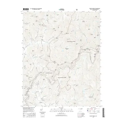 2016 Craggy Pinnacle2016 Print · USGSBuncombe County high country is shown here in the mid-2010s as the Blue Ridge Parkway traverses the ridges of the Pisgah National Forest. Genealogists and local historians can locate numerous family burial sites like Paint Fork Cem and Ballard Cem or trace the waters of Beetree Reservoir.
 - 2016 Map of Enka, 2016 Print
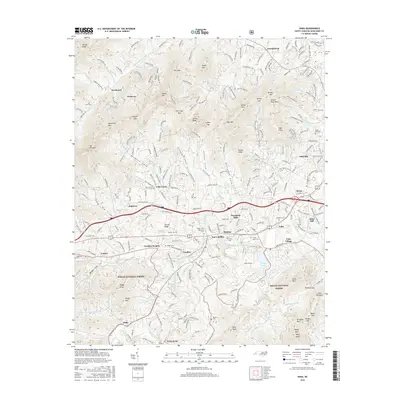 2016 Enka2016 Print · USGSWest of Asheville in the mid-2010s, the Hominy Creek valley shows a landscape of busy industrial corridors and mountain ridges. Genealogists can trace family burial sites at Justice Cem and Harkins Cem or explore the planned layout of Enka Village.
 - 2016 Map of Skyland, 2016 Print
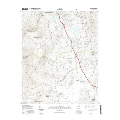 2016 Skyland2016 Print · USGSWestern North Carolina’s mountain ridges and river valleys are captured here just south of Asheville during a period of modern growth. Genealogists and historians can trace family roots through several local burial grounds like Long Shoals Cem and Baker Cem, or follow the path of the French Broad River past Mills River.
 - 2016 Map of Oteen, 2016 Print
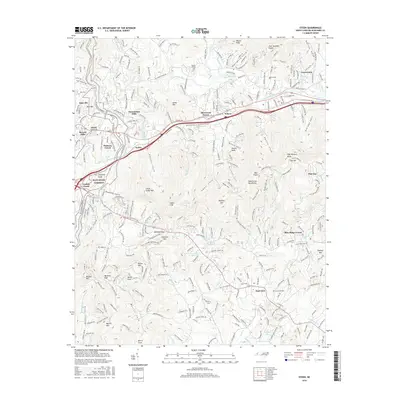 2016 Oteen2016 Print · USGSThe mountain valleys east of Asheville are captured here in the mid-2010s, showcasing the region's transition from river-bottom settlements to upland neighborhoods. Genealogists and hikers can trace family-named landmarks like Patton Cem, Davidson Cove, and Warren Wilson Coll.
 - 2016 Map of Asheville, 2016 Print
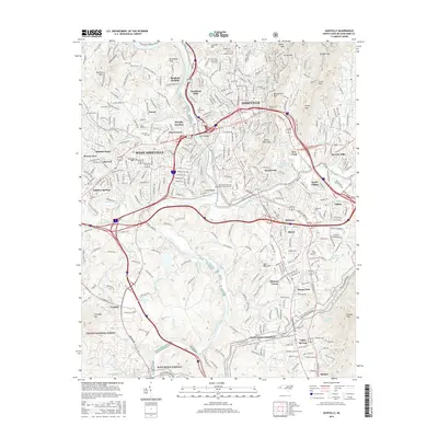 2016 Asheville2016 Print · USGSAsheville and its surrounding mountain communities are captured here in the mid-2010s as the city continues to grow around its historic river forks. Genealogists can locate family sites at Riverside Cem or Woodlawn Cem, and trace the route of the Southern Ry through Murphy Junction.
 - 2016 Map of Weaverville, 2016 Print
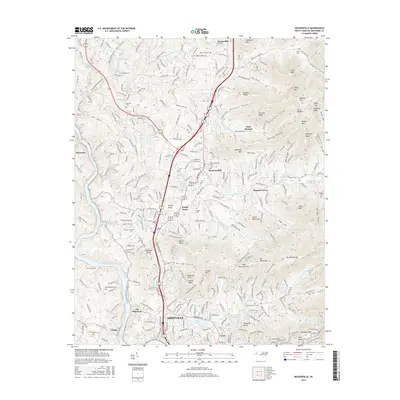 2016 Weaverville2016 Print · USGSBuncombe County at the dawn of the 21st century reveals a landscape of growing towns and deep-rooted family landmarks north of the French Broad River. Genealogists and local historians can locate many rural burying grounds, including Old Macedonia Cem, Flat Creek Cem, and Rhodes Cem.
 - 2019 Map of Asheville, 2019 Print
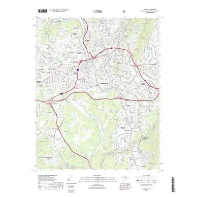 2019 Asheville2019 Print · USGSAsheville's urban center and mountain outskirts are captured in detail here, showing the city's growth around its historic river confluence. Researchers can trace neighborhood evolution and family history through features like Sayles Village, Green Hills Cem, and the Southern Ry corridor.
 - 2019 Map of Craggy Pinnacle, 2019 Print
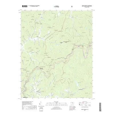 2019 Craggy Pinnacle2019 Print · USGSHigh ridges near Asheville define this mountain landscape, shown here at the close of the 2010s. Genealogists and hikers can trace the MTS Mountains to Sea Trail or locate family burial sites like Anderson Cem and Ballard Cem.
 - 2019 Map of Skyland, 2019 Print
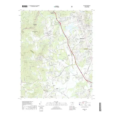 2019 Skyland2019 Print · USGSThe French Broad River valley and the southern reaches of Asheville are captured here just before the end of the twenty-tens. Researchers can trace family history through sites like Graham Cem or explore the development around Arden and Lake Julian.
 - 2019 Map of Enka, 2019 Print
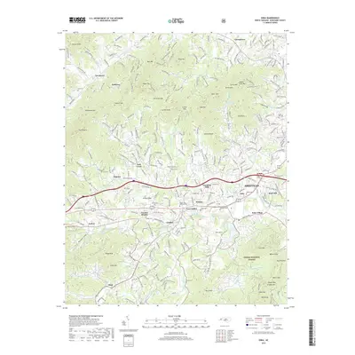 2019 Enka2019 Print · USGSWestern Buncombe County during the late 2010s shows a landscape where industrial heritage at Enka Village meets the rising foothills of the Blue Ridge. Trace local family history through numerous small burial grounds like Justice Cem and Hice Hill Cem or explore the mountain settlements of Owltown and Jugtown.
 - 2019 Map of Weaverville, 2019 Print
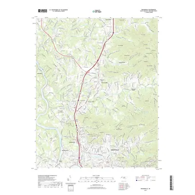 2019 Weaverville2019 Print · USGSBuncombe County's ridge-and-valley landscape unfolds north of Asheville during the late twenty-teens, centering on the growing community of Weaverville. Genealogists and local historians can trace family land via numerous burial sites like West Memorial Park Cem and Capps Cem.
 - 2019 Map of Oteen, 2019 Print
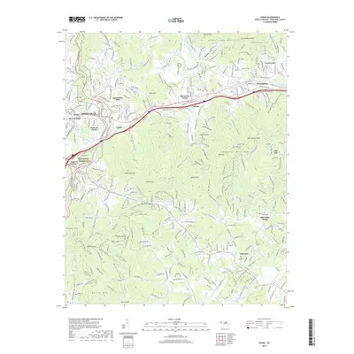 2019 Oteen2019 Print · USGSAsheville and the Swannanoa River valley are shown in the modern era as a hub of residential growth and mountain transit. Researchers can trace historic family landmarks and communities like Patton Cem, Swannanoa, and the Oteen Church.
 - 2022 Map of Asheville, 2022 Print
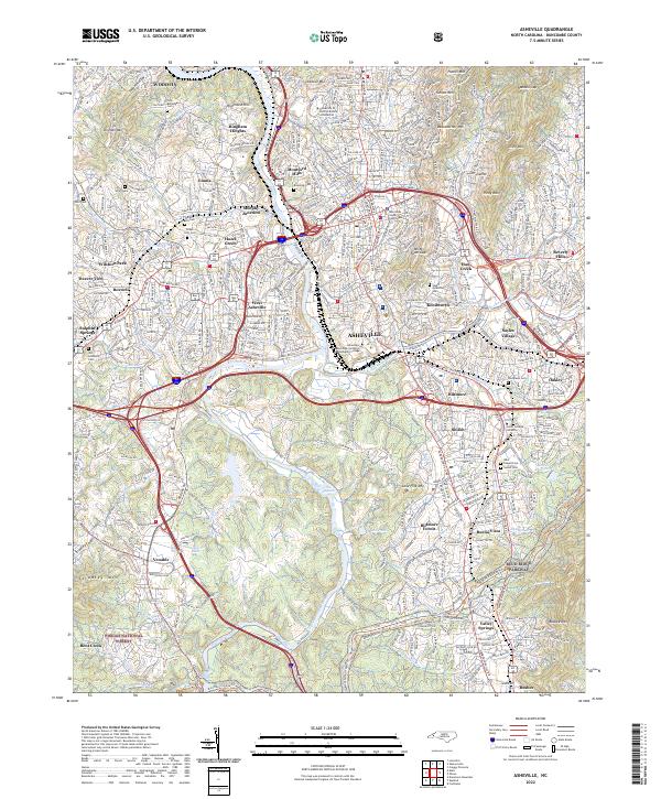 2022 Asheville2022 Print · USGSAsheville and its surrounding mountain communities are captured in the early twenty-first century as the city balances its historic urban core with the surrounding wilderness. Researchers can trace the legacy of local families through Riverside Cem, Woodlawn Cem, and the neighborhoods of Richmond Hill and Shiloh.
Showing maps 1-25 of 30
Top cities near Asheville
- Hendersonville historical maps
- Black Mountain historical maps
- Fletcher historical maps
- Mills River historical maps
- Swannanoa historical maps
- Royal Pines historical maps
See more
Top neighborhoods of Asheville
- Dogwood Grove historical maps
- Oak Forest historical maps
- Grace historical maps
- Haw Creek historical maps
- Royal Pines historical maps
- West Asheville historical maps
See more
Frequently asked questions
- What are the different types of historical maps available for Asheville?
- What is the oldest map of Asheville?
- Where can I purchase historical maps of Asheville for my home or office?
- Where can I download high-res historical maps of Asheville?
- Are there historical topographic maps available for Asheville?
- Is there historical aerial imagery available for Asheville?
- Where are historical maps of Asheville sourced from?