Old Maps of Asheville, North Carolina for Academic Research
Study the evolution of Asheville with 68 high-resolution historic maps. Whether you're teaching, researching, or modeling changes in land use, these maps provide essential visual documentation of urban, environmental, and geographic change.
- Analyze long-term change: Track patterns in development, transportation, and natural features.
- Ideal for environmental or urban studies: Support academic projects with primary historical map data.
- Use in the classroom or lab: Educators and researchers rely on these maps to bring historical context to life.
These maps are a powerful tool for teaching, research, and visualizing how Asheville has changed over the decades.
Asheville, NC maps
(68)- 1894 Map of Asheville
 1894 Asheville1894 Print · USGSAsheville and the French Broad River valley are shown here in the 1890s, when rail travel was transforming the Southern Appalachians. Genealogists can locate family landmarks like Gudgers Mill, Pendletons Mill, and the early development of Biltmore.2 unique versions available
 - 1900 Map of Mount Mitchell, 1963 Print
 1900 Mount Mitchell1963 Print · USGSWestern North Carolina at the turn of the century shows a landscape of high peaks and isolated river settlements before the arrival of modern highways. Genealogists and mountain historians can trace early homesteads along the Cane River or follow the Southern RR through Old Fort and Black Mountain.3 unique versions available
 - 1901 Map of Asheville
 1901 Asheville1901 Print · USGSWestern North Carolina at the turn of the century shows a mountain landscape adapting to the arrival of major railroads. Genealogists and historians can trace family-named peaks and early communities like Mars Hill, Hot Springs, and the estates at Biltmore.9 unique versions available
 - 1902 Map of Mount Mitchell, 1937 Print
 1902 Mount Mitchell1937 Print · USGSThe high peaks of Western North Carolina are captured here at the start of the twentieth century, showing the rail and river corridors that shaped the region. Trace early settlements like Burnsville, Montreat, and the winding Southern Railway.3 unique versions available
 - 1905 Map of Pisgah, 1956 Print
 1905 Pisgah1956 Print · USGSThe North Carolina high country around the turn of the century reveals a land of timber tracts and emerging mountain retreats. Genealogists and hikers can trace early routes to Buck Spring Lodge, follow the Southern RR tracks, and locate vanished settlements like Angeline and Calhoun.
 - 1906 Map of Pisgah, 1934 Print
 1906 Pisgah1934 Print · USGSThe Blue Ridge highlands at the turn of the century reveal a landscape of mountain river valleys and early timber frontiers. Genealogists and historians can trace family-named bridges and crossings like Graham Bridge or locate vanished settlements such as Grange and Retreat.2 unique versions available
 - 1935 Map of Craggy Pinnacle
 1935 Craggy Pinnacle1935 Print · USGSThe high ridges of Buncombe County are captured here in the mid-1930s, showing a transition from remote mountain homesteads to early forestry and recreational sites. Genealogists can trace family names at Beetree Cem and Huey Cem, or locate landmarks like Camp Sequoyah and Union Valley Ch.
 - 1936 Map of Enka
 1936 Enka1936 Print · USGSMid-1930s Buncombe County comes into focus as the Hominy Creek valley begins its industrial transformation. Genealogists and local historians can trace the foundations of Enka, Candler, and vanished landmarks like the Pisgah Industrial Institute and Lake Ashnoca.
 - 1936 Map of Weaverville
 1936 Weaverville1936 Print · USGSBuncombe County in the mid-1930s shows a landscape of mountain settlements and river industry between Weaverville and Asheville. Genealogists and researchers can locate family landmarks like Garrison Cemetery and historic rural hubs such as Britten Cove School and Clarks Chapel.
 - 1936 Map of Skyland
 1936 Skyland1936 Print · USGSWestern North Carolina during the mid-thirties reveals a landscape of high ridges and developing river valleys. Genealogists and historians can trace local community roots through landmarks like Arden School, CCC Camp No 5, and Brickton Ch.
 - 1936 Map of Asheville
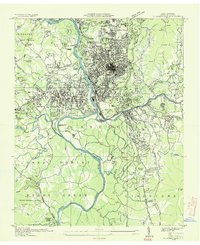 1936 Asheville1936 Print · USGSAsheville and its surrounding mountain townships are captured in detail during the mid-1930s as the city expanded along the river valleys. Researchers can trace historic family burial sites at Violet Hill Cem, locate the early grounds of Eliada Orphans Home, or explore the rail-dependent corridor of Murphy Junction.
 - 1941 Map of Enka, 1956 Print
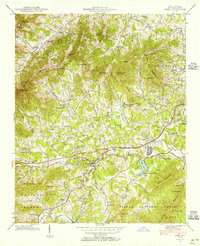 1941 Enka1956 Print · USGSWestern North Carolina's industrial and rural heart comes into focus during the early 1940s, centered on the growth of Enka and its namesake lake. Genealogists and historians can trace family roots through old landmarks like Jugtown, Grace Chapel, and Hice Hill Cem.
 - 1942 Map of Enka
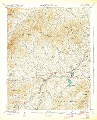 1942 Enka1942 Print · USGSBuncombe County's industrial and rural heart comes alive during the early 1940s, showing the development of Enka Village and the Southern rail line. Genealogists can trace family roots through the Cole Cem, Pisgah Industrial Institute, and dozens of landmarks like Sulphur Springs.2 unique versions available
 - 1942 Map of Weaverville, 1954 Print
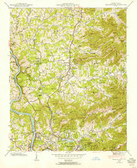 1942 Weaverville1954 Print · USGSBuncombe County's highland terrain in the early 1940s reveals a landscape of mountain settlements and river-valley rail lines. Family historians can locate specific landmarks including Clarks Chapel, the Brittain Cove Sch, and the winding French Broad River.
 - 1942 Map of Skyland, 1956 Print
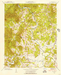 1942 Skyland1956 Print · USGSIn the early 1940s, the mountain communities of Buncombe and Henderson counties were oriented around the French Broad River and the Southern railroad. Researchers can locate family landmarks like the Britton Cem, St Johns Ch, and the old Brickton Sch.2 unique versions available
 - 1943 Map of Asheville
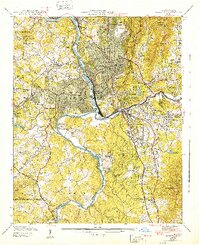 1943 Asheville1943 Print · USGSAsheville during the early 1940s shows a mountain city defined by its river valleys and new infrastructure like the Blue Ridge Parkway. Genealogists and local historians can trace family locations near Violet Hill Cem, Inanda Ch, or the Eliada Orphans Home.2 unique versions available
 - 1943 Map of Weaverville
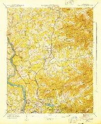 1943 Weaverville1943 Print · USGSThe Buncombe County foothills north of Asheville appear here in the early 1940s, showing a landscape of upland coves and developing mountain communities. Genealogists and local historians can locate family-named landmarks and old meeting houses like Clarks Chapel, Garrison Cem, and the Brittain Cove Sch.2 unique versions available
 - 1943 Map of Skyland
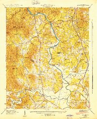 1943 Skyland1943 Print · USGSHenderson and Buncombe County communities thrive along the river valleys and rail lines in the early 1940s. Genealogists and local historians can trace family locations near Fanning Chapel, Britton Cem, and the historic school at Valley Springs Sch.
 - 1946 Map of Craggy Pinnacle, 1972 Print
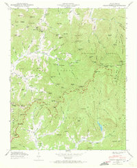 1946 Craggy Pinnacle1972 Print · USGSBuncombe County high country is documented here just after the war as the mountain gaps and valleys supported small rural communities. Genealogists and hikers can trace old family sites like Ballard Cem, early structures at Blackberry Inn, and landmarks along the Blue Ridge Parkway.2 unique versions available
 - 1947 Map of Craggy Pinnacle
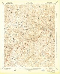 1947 Craggy Pinnacle1947 Print · USGSBuncombe County's high ridges and coves are documented here in the late forties as the Blue Ridge Parkway was still a fresh addition to the skyline. Genealogists can locate family landmarks such as Ballard Cem, Paint Fork Chapel, and the community at Riceville.6 unique versions available
 - 1955 Map of Knoxville
 1955 Knoxville1955 Print · USGSThe Southern Appalachians and the Smoky Mountains are shown here at a peak of mid-century development and conservation. Genealogists and historians can trace the early road networks connecting Gatlinburg, Waynesville, and the Cherokee Indian Reservation across the high ridges.
 - 1957 Map of Knoxville, 1966 Print
 1957 Knoxville1966 Print · USGSThe Southern Appalachians of Tennessee and North Carolina are mapped here during the mid-twentieth century as new highways reached the high country. Genealogists and historians can trace the topography between Knoxville and Asheville, locating family landmarks near Fontana Lake or along the Blue Ridge Parkway.4 unique versions available
 - 1960 Map of Knoxville
 1960 Knoxville1960 Print · USGSThe Southern Appalachians come alive in the 1950s, showing the intersection of new national park tourism and deep-rooted mountain industry. Trace old rail lines like the Clinchfield RR and find high-altitude landmarks from Mt Le Conte to the Cherokee Indian Reservation.2 unique versions available
 - 1961 Map of Asheville, 1965 Print
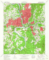 1961 Asheville1965 Print · USGSAsheville and the French Broad River valley are captured here in the early sixties, showing a landscape balanced between mountain forest and urban expansion. Trace local history through Biltmore Forest, Sayles Village, and the Blue Ridge Parkway.3 unique versions available
 - 1961 Map of Enka, 1965 Print
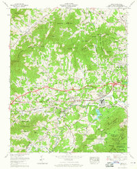 1961 Enka1965 Print · USGSWestern Buncombe County appears in the early sixties as a mix of industrial activity and mountain settlements. Genealogists can trace family names across Starnes Ridge and find local landmarks like Enka Village and Zion Hill Ch.4 unique versions available
Showing maps 1-25 of 68
Top cities near Asheville
- Hendersonville historical maps
- Black Mountain historical maps
- Fletcher historical maps
- Mills River historical maps
- Swannanoa historical maps
- Royal Pines historical maps
See more
Top neighborhoods of Asheville
- Dogwood Grove historical maps
- Oak Forest historical maps
- Grace historical maps
- Haw Creek historical maps
- Royal Pines historical maps
- West Asheville historical maps
See more
Frequently asked questions
- What are the different types of historical maps available for Asheville?
- What is the oldest map of Asheville?
- Where can I purchase historical maps of Asheville for my home or office?
- Where can I download high-res historical maps of Asheville?
- Are there historical topographic maps available for Asheville?
- Is there historical aerial imagery available for Asheville?
- Where are historical maps of Asheville sourced from?