2000s (21st Century) Maps of Bent Creek, North Carolina
Explore 20 historic maps of Bent Creek from the 2000s (21st Century). These maps offer a rare glimpse into what life looked like during the 2000s — showing old roads, neighborhoods, homes, and landmarks that have changed or disappeared over time.
Whether you're researching your family's past, planning a metal detecting trip, or studying how Bent Creek's landscape evolved across the 2000s, these high-resolution maps are a powerful tool for exploring the history of this region.
- Focus on a specific era: All maps on this page are from the 2000s, giving you a focused view of this time period.
- See what’s changed: Compare century-old streets, trails, and buildings to today's modern landscape using overlays and satellite layers.
- Research with precision: Use these maps for genealogy, historical research, land use analysis, or educational projects.
- View, download, or print: Maps are fully viewable online in high resolution, and can be downloaded or printed for your own records.
Start exploring Bent Creek's history through authentic maps from the 2000s. This is your window into the past.
Bent Creek, NC maps
(20)- 2011 Map of Enka, 2011 Print
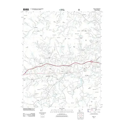 2011 Enka2011 Print · USGSThe Hominy Creek valley and the industrial footprint of Enka are shown here as the suburbs west of Asheville matured. Researchers can locate many family-named landmarks and burial sites, from Gudger Cemetery to the Luther Chapel and Candler School.
 - 2011 Map of Dunsmore Mountain, 2011 Print
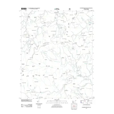 2011 Dunsmore Mountain2011 Print · USGSThe high ridges and deep gaps of the Blue Ridge are captured here in the early 2000s, showing the intersection of mountain life and federal land management. Researchers can locate remote landmarks like the O'Kelley Cemetery, the Ferrin Fire Tower, and several parkway tunnels including Pine Mountain Tunnel.
 - 2011 Map of Asheville, 2011 Print
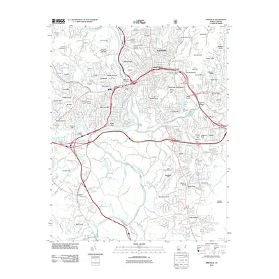 2011 Asheville2011 Print · USGSAsheville and its surrounding mountain gaps are captured in this detailed early 2000s survey of the French Broad valley. Researchers can trace family roots through Riverside Cemetery, locate old neighborhoods like Sayles Village, and follow the historic Blue Ridge Pkwy.
 - 2011 Map of Skyland, 2011 Print
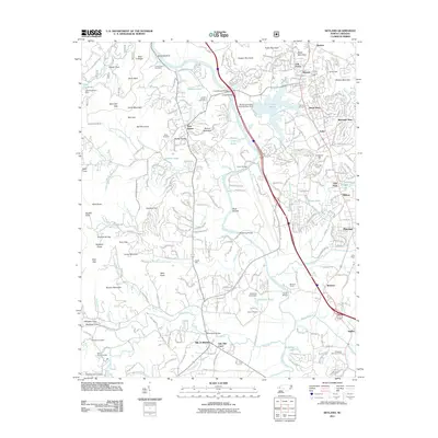 2011 Skyland2011 Print · USGSThe French Broad River valley south of Asheville is shown here in the early twenty-first century as it balances mountain wilderness with expanding suburban life. Trace family history and local landmarks through sites like Hayes Mill, Biltmore Farms, and the Sitton-Gillespie Cemetery.
 - 2013 Map of Asheville, 2013 Print
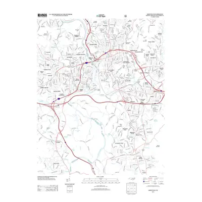 2013 Asheville2013 Print · USGSAsheville in the early twenty-first century reveals a dense network of neighborhoods and mountain topography. Local historians can trace the evolution of Biltmore Forest, the rail corridors at Murphy Junction, and the winding path of the Blue Ridge Pkwy.
 - 2013 Map of Enka, 2013 Print
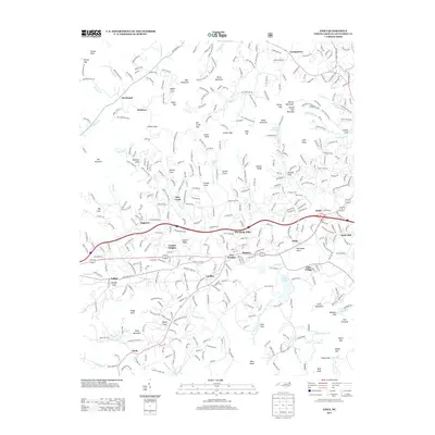 2013 Enka2013 Print · USGSBuncombe County's industrial and residential valleys are documented here during a decade of growth west of Asheville. Genealogists and local historians can trace family roots through the neighborhoods of Enka, the quiet coves of Jugtown, and established landmarks like Snow Hill Church.
 - 2013 Map of Dunsmore Mountain, 2013 Print
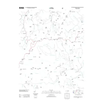 2013 Dunsmore Mountain2013 Print · USGSThe Pisgah National Forest south of Asheville was a landscape of high-altitude engineering and early recreational development in the 2010s. Trace the complex route of the Blue Ridge Pkwy through its many tunnels or locate local landmarks like the Ferin Fire Tower and Lake Powhatan.
 - 2013 Map of Skyland, 2013 Print
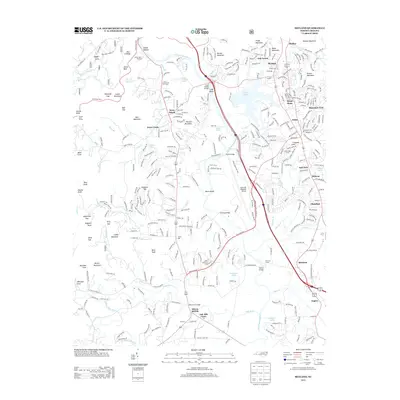 2013 Skyland2013 Print · USGSThe French Broad River valley south of Asheville is captured here during a period of modern growth and traditional industry. Genealogists and local historians can trace the developments around Arden, Fletcher, and Biltmore Farms, or locate landmarks like Hayes Mill and the Christ School.
 - 2016 Map of Enka, 2016 Print
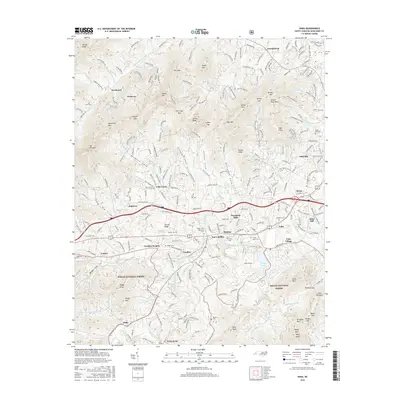 2016 Enka2016 Print · USGSWest of Asheville in the mid-2010s, the Hominy Creek valley shows a landscape of busy industrial corridors and mountain ridges. Genealogists can trace family burial sites at Justice Cem and Harkins Cem or explore the planned layout of Enka Village.
 - 2016 Map of Dunsmore Mountain, 2016 Print
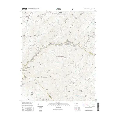 2016 Dunsmore Mountain2016 Print · USGSThe Blue Ridge high country is captured here in the mid-2010s, showing the intersection of three North Carolina counties within the Pisgah National Forest. Researchers can trace historic family sites like O'Kelley Cem or follow the engineering of the Blue Ridge Parkway through the Fork Mountain Tunnel.
 - 2016 Map of Skyland, 2016 Print
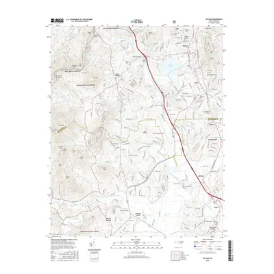 2016 Skyland2016 Print · USGSWestern North Carolina’s mountain ridges and river valleys are captured here just south of Asheville during a period of modern growth. Genealogists and historians can trace family roots through several local burial grounds like Long Shoals Cem and Baker Cem, or follow the path of the French Broad River past Mills River.
 - 2016 Map of Asheville, 2016 Print
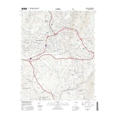 2016 Asheville2016 Print · USGSAsheville and its surrounding mountain communities are captured here in the mid-2010s as the city continues to grow around its historic river forks. Genealogists can locate family sites at Riverside Cem or Woodlawn Cem, and trace the route of the Southern Ry through Murphy Junction.
 - 2019 Map of Dunsmore Mountain, 2019 Print
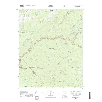 2019 Dunsmore Mountain2019 Print · USGSBuncombe and Henderson counties are captured here in the late 2010s, showing the high-altitude interface of the Pisgah National Forest and the Blue Ridge Pkwy. Genealogists and hikers can trace old family burial grounds like O'Kelley Cem or navigate the Buck Springs Tunnel and Mountains To Sea Trail.
 - 2019 Map of Asheville, 2019 Print
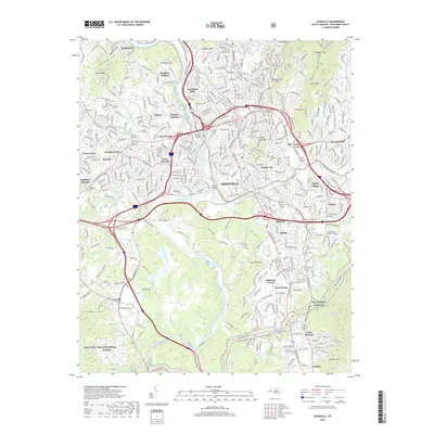 2019 Asheville2019 Print · USGSAsheville's urban center and mountain outskirts are captured in detail here, showing the city's growth around its historic river confluence. Researchers can trace neighborhood evolution and family history through features like Sayles Village, Green Hills Cem, and the Southern Ry corridor.
 - 2019 Map of Skyland, 2019 Print
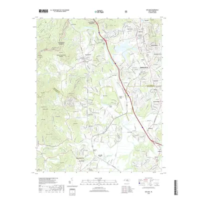 2019 Skyland2019 Print · USGSThe French Broad River valley and the southern reaches of Asheville are captured here just before the end of the twenty-tens. Researchers can trace family history through sites like Graham Cem or explore the development around Arden and Lake Julian.
 - 2019 Map of Enka, 2019 Print
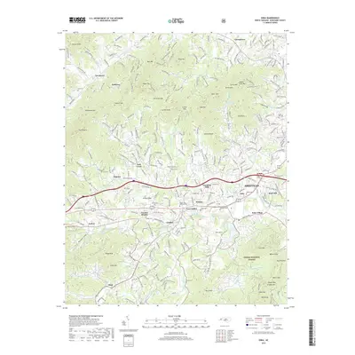 2019 Enka2019 Print · USGSWestern Buncombe County during the late 2010s shows a landscape where industrial heritage at Enka Village meets the rising foothills of the Blue Ridge. Trace local family history through numerous small burial grounds like Justice Cem and Hice Hill Cem or explore the mountain settlements of Owltown and Jugtown.
 - 2022 Map of Asheville, 2022 Print
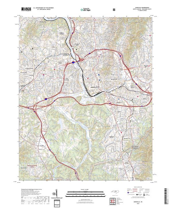 2022 Asheville2022 Print · USGSAsheville and its surrounding mountain communities are captured in the early twenty-first century as the city balances its historic urban core with the surrounding wilderness. Researchers can trace the legacy of local families through Riverside Cem, Woodlawn Cem, and the neighborhoods of Richmond Hill and Shiloh.
 - 2022 Map of Skyland, 2022 Print
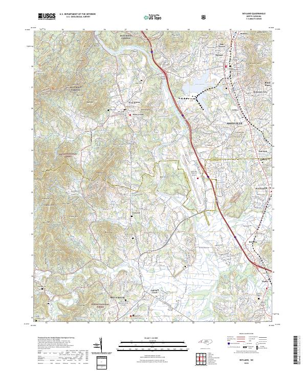 2022 Skyland2022 Print · USGSThe French Broad River valley south of Asheville shows a blend of mountain wilderness and suburban growth in the early 2020s. Genealogists can locate family landmarks like the Sitton Gillespie Cem, Hunter Cem, and the Christ School.
 - 2022 Map of Enka, 2022 Print
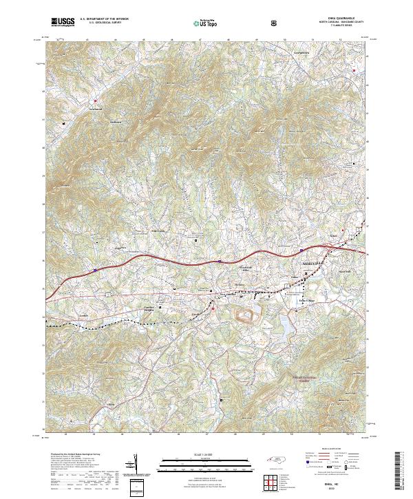 2022 Enka2022 Print · USGSWestern Buncombe County appears in high detail during the early 2020s, showing the intersection of Appalachian terrain and urban growth. Local researchers can trace family roots through Cole Cem and Trull Cem or explore the history of Enka Village.
 - 2022 Map of Dunsmore Mountain, 2022 Print
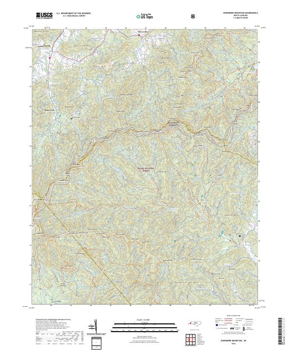 2022 Dunsmore Mountain2022 Print · USGSThe high ridges of the Blue Ridge southwest of Asheville are captured here in the early twenty-first century, showing the intersection of four North Carolina counties. Local historians and hikers can trace family sites like O'Kelley Cem and the Stuart Cem or explore the extensive trail systems near Lake Powhatan and the Blue Ridge Parkway.
End of results
Showing maps 1-20 of 20
Top cities near Bent Creek
- Asheville historical maps
- Hendersonville historical maps
- Fletcher historical maps
- Brevard historical maps
- Mills River historical maps
- Swannanoa historical maps
See more
Frequently asked questions
- What are the different types of historical maps available for Bent Creek?
- What is the oldest map of Bent Creek?
- Where can I purchase historical maps of Bent Creek for my home or office?
- Where can I download high-res historical maps of Bent Creek?
- Are there historical topographic maps available for Bent Creek?
- Is there historical aerial imagery available for Bent Creek?
- Where are historical maps of Bent Creek sourced from?