Old Maps of Gamewell, North Carolina for Academic Research
Study the evolution of Gamewell with 30 high-resolution historic maps. Whether you're teaching, researching, or modeling changes in land use, these maps provide essential visual documentation of urban, environmental, and geographic change.
- Analyze long-term change: Track patterns in development, transportation, and natural features.
- Ideal for environmental or urban studies: Support academic projects with primary historical map data.
- Use in the classroom or lab: Educators and researchers rely on these maps to bring historical context to life.
These maps are a powerful tool for teaching, research, and visualizing how Gamewell has changed over the decades.
Gamewell, NC maps
(30)- 1905 Map of Morganton, 1941 Print
 1905 Morganton1941 Print · USGSThe foothills and high peaks of the Blue Ridge come alive in the early twentieth century, centered on the growing towns of Morganton and Lenoir. Genealogists and historians can trace the early rail corridor of the Southern Railway and locate vanished landmarks like Arneys Store and Rutherford College.2 unique versions available
 - 1953 Map of Charlotte, 1968 Print
 1953 Charlotte1968 Print · USGSThe North Carolina Piedmont and South Carolina borderlands are shown in detail during a period of significant growth and reservoir development. Trace the rail corridors of the Southern Railway or find family roots in towns like China Grove, Misenheimer, and Lincolnton.3 unique versions available
 - 1954 Map of Charlotte
 1954 Charlotte1954 Print · USGSThe North Carolina Piedmont in the mid-1950s shows a region of rapid growth and industrial expansion centered around Charlotte. Trace the era's infrastructure through the Southern railroad lines and locate significant landmarks like the Charlotte Naval Ammunition Depot and Lake Norman.2 unique versions available
 - 1956 Map of Morganton North, 1958 Print
 1956 Morganton North1958 Print · USGSMorganton and the river valleys of Burke County are captured in the mid-fifties, showing the rural landscapes of Quaker Meadow. Researchers can trace family sites like Arneys Store, Corpening Sch, and several mission churches along the Johns River.2 unique versions available
 - 1956 Map of Lenoir, 1958 Print
 1956 Lenoir1958 Print · USGSLenoir and the surrounding Blue Ridge foothills are captured in the mid-1950s as the area balanced industrial growth with its rural roots. Genealogists and historians can trace local landmarks like Caldwell Memorial Hospital, Shiloh Ch, and the tracks of the Southern railroad.2 unique versions available
 - 1956 Map of Drexel, 1959 Print
 1956 Drexel1959 Print · USGSThe Catawba River valley in the mid-1950s is captured here just as the region’s industrial and transit networks were maturing. Local historians can trace the development of Drexel and Valdese along the Southern railroad or locate family-named sites like Puett Cem and Corpening Bridge.
 - 1956 Map of Lenoir, 1963 Print
 1956 Lenoir1963 Print · USGSCaldwell and Burke Counties come alive in the 1950s, showing the Foothills region as it transitioned from mountain timberlands to bustling rail towns. Trace old community hubs like Arneys Store, family-named creeks such as Elijah Bates Mill Creek, and the many churches like St Marys Mission Ch.
 - 1960 Map of Charlotte
 1960 Charlotte1960 Print · USGSMid-century North Carolina and South Carolina meet in this 1960 survey of the Piedmont's industrial and textile heartland. Trace the growth of Charlotte alongside historic landmarks like Kings Mountain National Military Park and the Charlotte Naval Ammunition Depot.2 unique versions available
 - 1962 Map of Charlotte
 1962 Charlotte1962 Print · USGSThe North Carolina Piedmont in the early sixties showcases a landscape transformed by massive reservoirs and industrial growth. Researchers can trace the development of Lake Norman, locate the Charlotte Naval Ammunition Depot, or find family landmarks like Wesley Chapel and Brown & Norcott Mills.
 - 1986 Map of Hickory
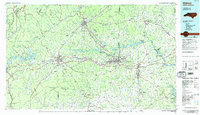 1986 Hickory1986 Print · USGSWestern North Carolina's foothills are seen here in the mid-eighties as textile and furniture towns flourished along the river. Trace the development of Hickory and Lenoir or locate local landmarks like Burke Chapel, Saw Mills, and Rhodhiss Lake.3 unique versions available
 - 1993 Map of Drexel, 1995 Print
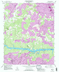 1993 Drexel1995 Print · USGSThe river-and-rail corridor of central North Carolina is captured here in the 1990s as the communities of Drexel and Valdese continued their growth south of Rhodhiss Lake. Genealogists can trace local roots through numerous landmarks like North Catawba Ch, Puett Cem, and the old settlement of Baton.2 unique versions available
 - 1993 Map of Morganton North, 1996 Print
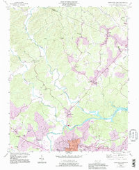 1993 Morganton North1996 Print · USGSThe Johns River and Catawba River valleys in Burke County were undergoing notable suburban expansion in the 1990s. Researchers can locate historic rural centers like Arneys Store and Hartland, along with family landmarks such as Houck Cem and Bost Cem.
 - 1993 Map of Lenoir, 1996 Print
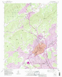 1993 Lenoir1996 Print · USGSLenoir and the surrounding North Carolina foothills are captured in the early nineties as the community expanded toward the Pisgah National Forest. Researchers can trace family sites and local landmarks from Belleview Cem to the rural District 9 Sch and Hibriten Ch.
 - 1994 Map of Lenoir, 1998 Print
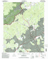 1994 Lenoir1998 Print · USGSLenoir and its surrounding foothills are shown in the mid-1990s as the community expanded toward the Pisgah National Forest. Genealogists and local historians can trace legacy sites like Harpertown Sch, Nazareth Ch, and the many family-named landmarks from Patterson to Whitnel.
 - 2002 Map of Morganton North, 2003 Print
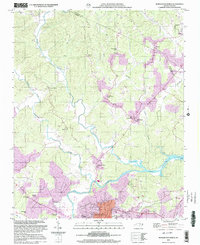 2002 Morganton North2003 Print · USGSBurke County at the turn of the millennium shows the intersection of deep-rooted rural communities and modern municipal growth near the Catawba River. Researchers can trace old family footprints at Arneys Store, Corpening Sch, and Littlejohn Ch.
 - 2010 Map of Drexel, 2010 Print
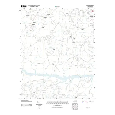 2010 Drexel2010 Print · USGSThe Catawba River valley in the early 21st century is defined here by the winding waters of Rhodhiss Lake and the growth of mountain-view communities. Researchers can trace family-named sites and infrastructure from Puett Cemetery and Drexel to the Morganton-Lenoir Airport.
 - 2010 Map of Morganton North, 2010 Print
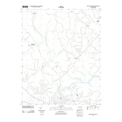 2010 Morganton North2010 Print · USGSNorth Carolina’s river country unfolds here as the new millennium began, where the Catawba River meets the winding Johns River. Genealogists and local researchers can trace family landmarks like Houck Cemetery or follow the development of communities like Chesterfield and Worry.
 - 2011 Map of Lenoir, 2011 Print
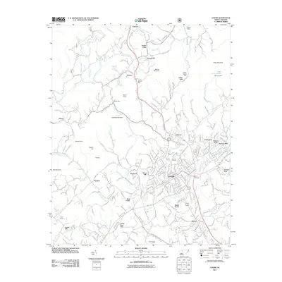 2011 Lenoir2011 Print · USGSThe Caldwell County foothills come into focus in the early twenty-first century, showing the urban expansion of Lenoir and its surrounding communities. Genealogists and local historians can trace legacy sites like Puette Cemetery and Clark Cemetery alongside landmarks such as High Lake Dam.
 - 2013 Map of Morganton North, 2013 Print
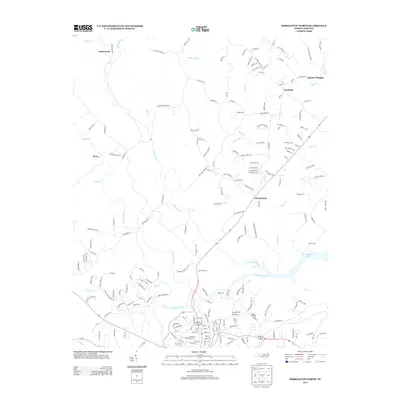 2013 Morganton North2013 Print · USGSNorth Carolina's Burke County foothills come into focus in the early twenty-first century as the Johns River joins the Catawba River. Genealogists and local historians can trace the roads connecting settlements like Chesterfield, Hartland, and the curiously named Worry.
 - 2013 Map of Lenoir, 2013 Print
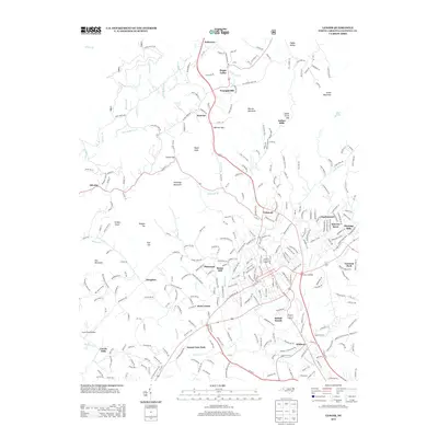 2013 Lenoir2013 Print · USGSCaldwell County's river valleys and expanding neighborhoods are caught in detail during the early twenty-first century. Genealogists and local historians can trace family locations near Pisgah Church, the waters of Lower Creek, and the settlement at Patterson.
 - 2013 Map of Drexel, 2013 Print
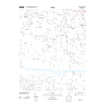 2013 Drexel2013 Print · USGSCaldwell County communities thrive along the northern shores of the Catawba River in the early twenty-first century. Researchers can trace the development of residential pockets like Drexel, Baton, and Gamewell alongside landmarks like Rhodhiss Lake.
 - 2016 Map of Drexel, 2016 Print
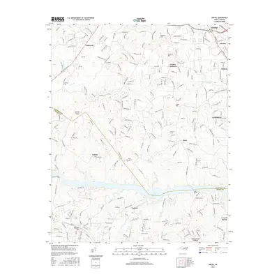 2016 Drexel2016 Print · USGSThe foothills of western North Carolina are captured here in 2016, showcasing the dense network of communities between the Catawba River and the mountains. Genealogists and local historians can trace family roots at Puett Cem and North Catawba Cem or locate homesteads near Sawmills and Gamewell.
 - 2016 Map of Lenoir, 2016 Print
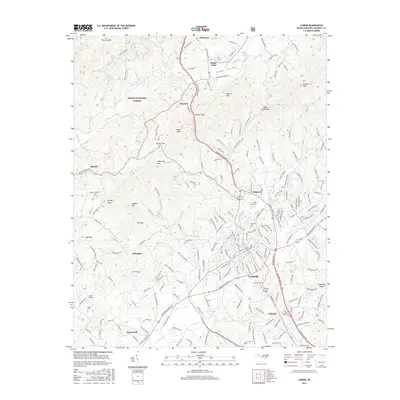 2016 Lenoir2016 Print · USGSCaldwell County at the turn of the 21st century reveals the established footprint of Lenoir and its surrounding communities. Researchers can trace family sites at Belleview Cem, find Pisgah Ch, and see the rural layout of Happy Valley.
 - 2016 Map of Morganton North, 2016 Print
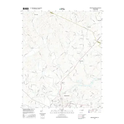 2016 Morganton North2016 Print · USGSThe Foothills of North Carolina come alive in this survey centered on the river-bend city of Morganton. Researchers can trace family sites at Forest Hill Cem and Houck Cem or locate crossings like Huffman Bridge and Perkinsville.
 - 2019 Map of Drexel, 2019 Print
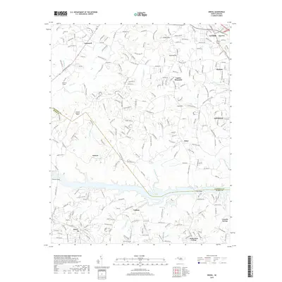 2019 Drexel2019 Print · USGSThe foothills of North Carolina are mapped here in the late twenty-teens, showing the dense network of communities between Lenoir and Valdese. Researchers can locate family landmarks such as Puett Cemetery, the Baton School, and historic crossings like Huffman Bridge.
Showing maps 1-25 of 30
Top cities near Gamewell
- Hickory historical maps
- Lenoir historical maps
- Morganton historical maps
- Sawmills historical maps
- Long View historical maps
- Granite Falls historical maps
See more
Top neighborhoods of Gamewell
- Sycamore Acres historical maps
- Pineburr historical maps
- Pinehurst historical maps
- Calico Place historical maps
- Corola Hills historical maps
- Town and Country historical maps
See more
Frequently asked questions
- What are the different types of historical maps available for Gamewell?
- What is the oldest map of Gamewell?
- Where can I purchase historical maps of Gamewell for my home or office?
- Where can I download high-res historical maps of Gamewell?
- Are there historical topographic maps available for Gamewell?
- Is there historical aerial imagery available for Gamewell?
- Where are historical maps of Gamewell sourced from?