Old Maps of Rufus, North Carolina for Academic Research
Study the evolution of Rufus with 15 high-resolution historic maps. Whether you're teaching, researching, or modeling changes in land use, these maps provide essential visual documentation of urban, environmental, and geographic change.
- Analyze long-term change: Track patterns in development, transportation, and natural features.
- Ideal for environmental or urban studies: Support academic projects with primary historical map data.
- Use in the classroom or lab: Educators and researchers rely on these maps to bring historical context to life.
These maps are a powerful tool for teaching, research, and visualizing how Rufus has changed over the decades.
Rufus, NC maps
(15)- 1905 Map of Morganton, 1941 Print
 1905 Morganton1941 Print · USGSThe foothills and high peaks of the Blue Ridge come alive in the early twentieth century, centered on the growing towns of Morganton and Lenoir. Genealogists and historians can trace the early rail corridor of the Southern Railway and locate vanished landmarks like Arneys Store and Rutherford College.2 unique versions available
 - 1953 Map of Charlotte, 1968 Print
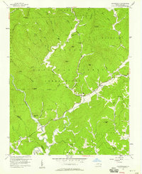
 1953 Charlotte1968 Print · USGSThe North Carolina Piedmont and South Carolina borderlands are shown in detail during a period of significant growth and reservoir development. Trace the rail corridors of the Southern Railway or find family roots in towns like China Grove, Misenheimer, and Lincolnton.3 unique versions available
 - 1954 Map of Charlotte
 1954 Charlotte1954 Print · USGSThe North Carolina Piedmont in the mid-1950s shows a region of rapid growth and industrial expansion centered around Charlotte. Trace the era's infrastructure through the Southern railroad lines and locate significant landmarks like the Charlotte Naval Ammunition Depot and Lake Norman.2 unique versions available
 - 1956 Map of Collettsville, 1958 Print
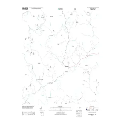
 1956 Collettsville1958 Print · USGSCaldwell County’s deep river valleys and high forest ridges are captured here in the mid-fifties, centered on the community of Collettsville. Researchers can trace old family sites and rural landmarks like the Sand Mtn Lookout Tower, Adako, and Conways Chapel.3 unique versions available
 - 1956 Map of Lenoir, 1963 Print
 1956 Lenoir1963 Print · USGSCaldwell and Burke Counties come alive in the 1950s, showing the Foothills region as it transitioned from mountain timberlands to bustling rail towns. Trace old community hubs like Arneys Store, family-named creeks such as Elijah Bates Mill Creek, and the many churches like St Marys Mission Ch.
 - 1960 Map of Charlotte
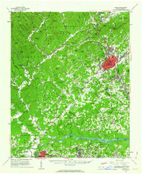
 1960 Charlotte1960 Print · USGSMid-century North Carolina and South Carolina meet in this 1960 survey of the Piedmont's industrial and textile heartland. Trace the growth of Charlotte alongside historic landmarks like Kings Mountain National Military Park and the Charlotte Naval Ammunition Depot.2 unique versions available
 - 1962 Map of Charlotte
 1962 Charlotte1962 Print · USGSThe North Carolina Piedmont in the early sixties showcases a landscape transformed by massive reservoirs and industrial growth. Researchers can trace the development of Lake Norman, locate the Charlotte Naval Ammunition Depot, or find family landmarks like Wesley Chapel and Brown & Norcott Mills.
 - 1986 Map of Hickory
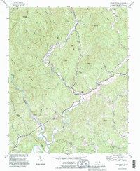
 1986 Hickory1986 Print · USGSWestern North Carolina's foothills are seen here in the mid-eighties as textile and furniture towns flourished along the river. Trace the development of Hickory and Lenoir or locate local landmarks like Burke Chapel, Saw Mills, and Rhodhiss Lake.3 unique versions available
 - 1993 Map of Collettsville, 1996 Print
 1993 Collettsville1996 Print · USGSCaldwell County’s river valleys and national forest ridges are captured here in the 1990s as the community of Collettsville continues its long history. Genealogists can locate family-named sites like Conways Chapel, Ollis Hill Ch, and the small settlement of Adako.
 - 1994 Map of Collettsville, 1998 Print
 1994 Collettsville1998 Print · USGSCaldwell County's mountain settlements and forest lands are captured here during the mid-1990s as the regional timber and recreation landscape evolved. Researchers can locate remote family sites and country churches like Green Valley Church, Conways Chapel, and the community of Collettsville.
 - 2011 Map of Collettsville, 2011 Print
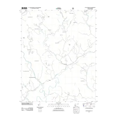 2011 Collettsville2011 Print · USGSCovers Rufus, including Piney, Adako, and other nearby areas
 - 2013 Map of Collettsville, 2013 Print
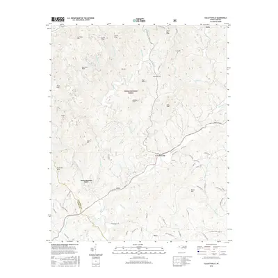
 2013 Collettsville2013 Print · USGSCovers Rufus, including Piney, Adako, and other nearby areas
 - 2016 Map of Collettsville, 2016 Print
 2016 Collettsville2016 Print · USGSCovers Rufus, including Piney, Adako, and other nearby areas
 - 2019 Map of Collettsville, 2019 Print
 2019 Collettsville2019 Print · USGSCovers Rufus, including Piney, Adako, and other nearby areas
 - 2022 Map of Collettsville, 2022 Print
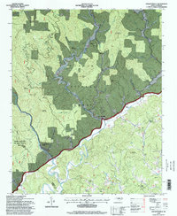
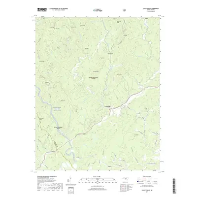
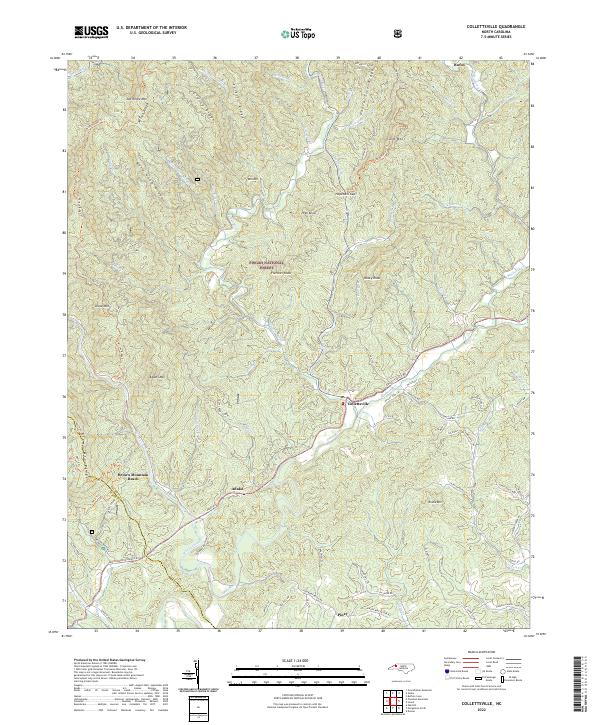 2022 Collettsville2022 Print · USGSCaldwell County's mountain valleys are captured here in the early twenty-first century, centered on the historic Collettsville community. Researchers can trace family-named sites like Larkins Estes Mill Cr or explore the river terrain around Brown Mountain Beach.
End of results
Showing maps 1-15 of 15
Top cities near Rufus
- Boone historical maps
- Lenoir historical maps
- Morganton historical maps
- Sawmills historical maps
- Granite Falls historical maps
- Valdese historical maps
See more
Frequently asked questions
- What are the different types of historical maps available for Rufus?
- What is the oldest map of Rufus?
- Where can I purchase historical maps of Rufus for my home or office?
- Where can I download high-res historical maps of Rufus?
- Are there historical topographic maps available for Rufus?
- Is there historical aerial imagery available for Rufus?
- Where are historical maps of Rufus sourced from?