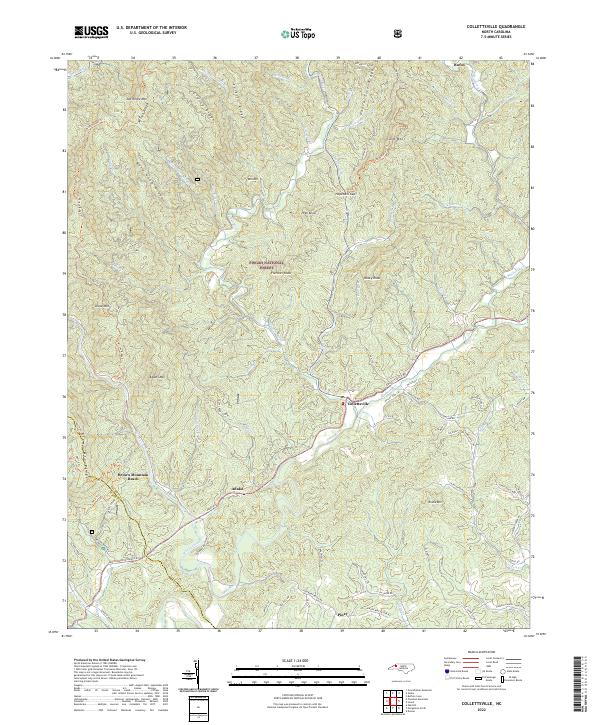
2022 Map of Collettsville
USGS Topo · Published 2022About this map
Collettsville sits at the confluence of several mountain waterways, serving as a gateway to the steep ridges of the Pisgah National Forest. The landscape is defined by the winding course of the Johns River and the protected corridor of the Wilson Creek Wild and Scenic River. Small settlements such as Adako and Piney are linked by rural routes like Adako Rd and Playmore Beach Rd, tracing the narrow valleys between prominent peaks like Adams Mtn and Rocky Knob.
Find a feature on this map
73 named features on this map. Tap any name to fly to it.
Don’t see what you’re looking for? This feature index may not catch every label — zoom into the map to look around manually.
Map Details
Editions of this 2022 Collettsville Map
This is the sole edition of this map. No revisions or reprints were ever made.
Other maps of this area

1893 · Cranberry
USGS Topo · 1:125,000

1895 · Cranberry
USGS Topo · 1:125,000

1899 · Cranberry
USGS Topo · 1:125,000

1902 · Cranberry
USGS Topo · 1:125,000

1905 · Morganton
USGS Topo · 1:125,000

1936 · Blowing Rock
USGS Topo · 1:48,000

1942 · Blowing Rock
USGS Topo · 1:62,500

1944 · Linville
USGS Topo · 1:62,500

1953 · Charlotte
USGS Topo · 1:250,000

1953 · Winston-Salem
USGS Topo · 1:250,000