Old Maps of Goose Creek, North Carolina for Hiking & Exploration
Hike through history with 12 historic maps of Goose Creek. Explore old trails, ghost towns, and forgotten backroads — perfect for outdoor adventurers and local explorers.
- Rediscover forgotten places: Map out old mining camps, roads, and footpaths that no longer exist on modern maps.
- Layer with modern tools: Combine with LiDAR or satellite views to plan hikes through historical terrain.
- Made for exploration: Popular among hikers, overlanders, and local history lovers.
Use these maps to find adventure and explore the hidden past of Goose Creek.
Goose Creek, NC maps
(12)- 1940 Map of Wade Point, 1973 Print
 1940 Wade Point1973 Print · USGSCoastal Pasquotank County at the start of the 1940s shows a landscape of tidewater farming and strategic military aviation. Genealogists and historians can trace family locations near Weeksville, the Air Base, and the fishing grounds of the Frog Island Fishing Club.
 - 1943 Map of Wade Point
 1943 Wade Point1943 Print · USGSThe North Carolina tidewater during the mid-forties is captured here as coastal defense and local life intersect along the Pasquotank River. Trace wartime activity at the Naval Air Base or explore rural settlements like Old Trap, Weeksville, and Listers Corner.
 - 1948 Map of Wade Point
 1948 Wade Point1948 Print · USGSCoastal Pasquotank County is seen here in the late 1940s, where the river-rich landscape meets the sound. Genealogists can trace family names and small hubs like Weeksville, Listers Corner, and the Frog Island Fishing Club along the intricate marshes and creeks.2 unique versions available
 - 1953 Map of Norfolk, 1954 Print
 1953 Norfolk1954 Print · USGSCoastal Virginia and northeastern North Carolina appear here during the post-war industrial boom, showing the critical rail-and-sea connections of Hampton Roads. Genealogists can trace family roots through rural landmarks like Gethsemane Ch, the Caledonia State Prison Farm, and the vast interior of the Dismal Swamp.4 unique versions available
 - 1982 Map of Wade Point, 1983 Print
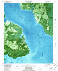 1982 Wade Point1983 Print · USGSCamden and Pasquotank counties meet where the river meets the sound in the early eighties. Researchers can trace rural lineages through sites like Old Trap, Wesley Ch, and New Salem Ch, or follow the Intracoastal Waterway past Frog Island.2 unique versions available
 - 1985 Map of Elizabeth City
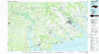 1985 Elizabeth City1985 Print · USGSCoastal North Carolina's rivers and sounds define the landscape of the mid-eighties, from the vast swamps to the historical waterfronts of Elizabeth City and Edenton. Researchers can trace the rail lines of the Southern Ry or locate landmarks like Beaver Hill Cem and South Mills.2 unique versions available
 - 1999 Map of Wade Point, 2002 Print
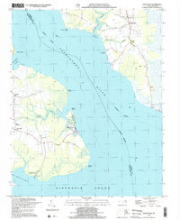 1999 Wade Point2002 Print · USGSCoastal Camden County is documented here at the end of the century as the Pasquotank River meets the Albemarle Sound. Genealogists can locate several country churches, including Flatty Creek Ch and Gentile Ch, alongside landmarks like Old Trap and Sound Landing.
 - 2010 Map of Wade Point, 2010 Print
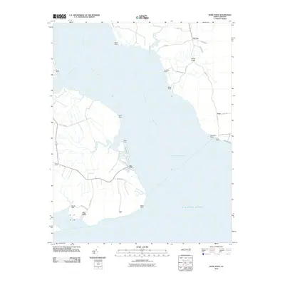 2010 Wade Point2010 Print · USGSCamden County's coastal peninsula is shown here in the early twenty-first century, where the river meets the sound. Genealogists and local historians can trace family land and small communities from Old Trap and Frog Island down to the shores of Sound Landing.
 - 2013 Map of Wade Point, 2013 Print
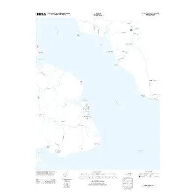 2013 Wade Point2013 Print · USGSCamden County's coastal reaches are documented here in the early twenty-first century, showing a landscape defined by the Pasquotank River and the sea. Researchers can trace local landmarks like Old Trap, Frog Island, and the waterfront at Sound Landing.
 - 2016 Map of Wade Point, 2016 Print
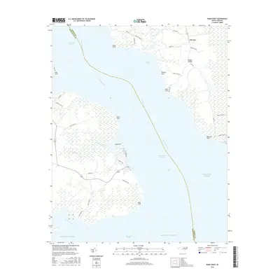 2016 Wade Point2016 Print · USGSCamden County's coastal peninsula is documented here in the mid-2010s, showing the intricate wetlands between the Pasquotank River and Albemarle Sound. Genealogists and historians can trace the rural roads around Old Trap and locate family-named landmarks like Miles Point and Tommys Point.
 - 2019 Map of Wade Point, 2019 Print
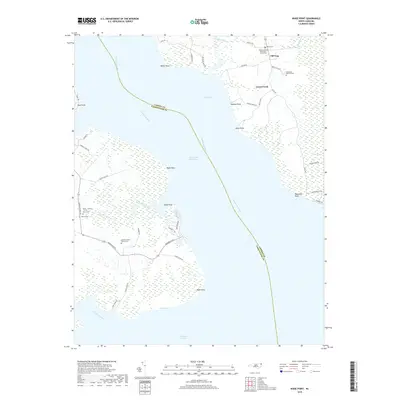 2019 Wade Point2019 Print · USGSCamden County's coastal marshes and the Pasquotank River shoreline come into focus in this recent survey. Genealogists can trace family roots at the Stephen Delon Family Cem or Pugh and Mitchell Cem near the community of Old Trap.
 - 2022 Map of Wade Point, 2022 Print
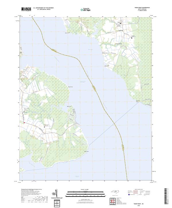 2022 Wade Point2022 Print · USGSCamden County's river-fed shorelines are shown here during the early twenty-first century as the Intracoastal Waterway carries traffic toward the Albemarle Sound. Genealogists can trace numerous family burial sites near Old Trap, including the Keaton Cem and Wilson Cem.
End of results
Showing maps 1-12 of 12
Top cities near Goose Creek
Frequently asked questions
- What are the different types of historical maps available for Goose Creek?
- What is the oldest map of Goose Creek?
- Where can I purchase historical maps of Goose Creek for my home or office?
- Where can I download high-res historical maps of Goose Creek?
- Are there historical topographic maps available for Goose Creek?
- Is there historical aerial imagery available for Goose Creek?
- Where are historical maps of Goose Creek sourced from?