Old Maps of Horseshoe, North Carolina for Academic Research
Study the evolution of Horseshoe with 11 high-resolution historic maps. Whether you're teaching, researching, or modeling changes in land use, these maps provide essential visual documentation of urban, environmental, and geographic change.
- Analyze long-term change: Track patterns in development, transportation, and natural features.
- Ideal for environmental or urban studies: Support academic projects with primary historical map data.
- Use in the classroom or lab: Educators and researchers rely on these maps to bring historical context to life.
These maps are a powerful tool for teaching, research, and visualizing how Horseshoe has changed over the decades.
Horseshoe, NC maps
(11)- 1940 Map of South Mills, 1976 Print
 1940 South Mills1976 Print · USGSCamden and Pasquotank counties are shown in the early 1940s as communities navigated the edges of the Dismal Swamp. Genealogists can locate family-named hubs like Pierceville and Johnsons Corner or trace the Norfolk Southern Railroad line.
 - 1952 Map of South Mills
 1952 South Mills1952 Print · USGSCoastal North Carolina at mid-century reveals a complex network of timber mills and canal-side hamlets bordering the great wetlands. Trace ancestral roots and early industry through family landmarks like Lynchs Corner, the Dismal Swamp Canal, and Burnt Mills.
 - 1953 Map of Norfolk, 1954 Print
 1953 Norfolk1954 Print · USGSCoastal Virginia and northeastern North Carolina appear here during the post-war industrial boom, showing the critical rail-and-sea connections of Hampton Roads. Genealogists can trace family roots through rural landmarks like Gethsemane Ch, the Caledonia State Prison Farm, and the vast interior of the Dismal Swamp.4 unique versions available
 - 1982 Map of Lynchs Corner
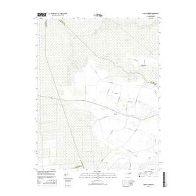
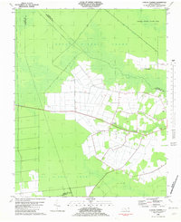 1982 Lynchs Corner1982 Print · USGSThe Pasquotank County wetlands in the early eighties were a complex mosaic of conservation and remote settlements. Researchers can trace the legacy of the swamp through the Old Railroad Grade and find local landmarks like Ramoth Gilead Ch and Lynchs Corner.
 - 1985 Map of Elizabeth City
 1985 Elizabeth City1985 Print · USGSCoastal North Carolina's rivers and sounds define the landscape of the mid-eighties, from the vast swamps to the historical waterfronts of Elizabeth City and Edenton. Researchers can trace the rail lines of the Southern Ry or locate landmarks like Beaver Hill Cem and South Mills.2 unique versions available
 - 1997 Map of Lynchs Corner, 2000 Print
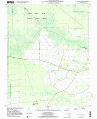 1997 Lynchs Corner2000 Print · USGSPasquotank County at the close of the twentieth century shows a landscape defined by the vast Great Dismal Swamp National Wildlife Refuge. Genealogists and local historians can locate rural landmarks like Ramoth Gilead Ch, Mt Carmel Ch, and the crossroads at Lynchs Corner.
 - 2010 Map of Lynchs Corner, 2010 Print
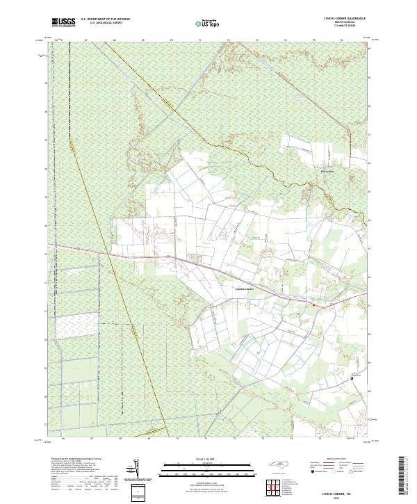
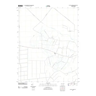 2010 Lynchs Corner2010 Print · USGSCovers Horseshoe, including Lynchs Corner, Pasquotank County, and other nearby areas
 - 2013 Map of Lynchs Corner, 2013 Print
 2013 Lynchs Corner2013 Print · USGSCovers Horseshoe, including Lynchs Corner, Pasquotank County, and other nearby areas
 - 2016 Map of Lynchs Corner, 2016 Print
 2016 Lynchs Corner2016 Print · USGSCovers Horseshoe, including Lynchs Corner, Pasquotank County, and other nearby areas
 - 2019 Map of Lynchs Corner, 2019 Print
 2019 Lynchs Corner2019 Print · USGSCovers Horseshoe, including Lynchs Corner, Pasquotank County, and other nearby areas
 - 2022 Map of Lynchs Corner, 2022 Print
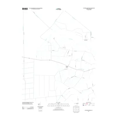
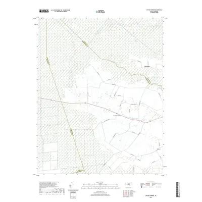
 2022 Lynchs Corner2022 Print · USGSThe North Carolina wetlands meet rural settlement in the early 2020s, showing the intersection of the Great Dismal Swamp and local crossroads. Genealogists and researchers can trace the Griffin Family Cem and the small communities at Lynchs Corner and Horseshoe.
End of results
Showing maps 1-11 of 11
Top cities near Horseshoe
- Elizabeth City historical maps
- Moyock historical maps
- South Mills historical maps
- Sunbury historical maps
Frequently asked questions
- What are the different types of historical maps available for Horseshoe?
- What is the oldest map of Horseshoe?
- Where can I purchase historical maps of Horseshoe for my home or office?
- Where can I download high-res historical maps of Horseshoe?
- Are there historical topographic maps available for Horseshoe?
- Is there historical aerial imagery available for Horseshoe?
- Where are historical maps of Horseshoe sourced from?