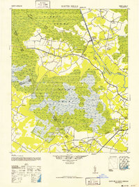
1952 Map of South Mills
USGS Topo · Published 1952About this map
The vast wetlands of the Dismal Swamp dominate this mid-century topographic record, revealing a landscape defined by drainage efforts and water-borne transit. The Dismal Swamp Canal and the Drainage Canal cut straight lines through the marshy terrain, anchoring crossroads settlements like South Mills and Morgans Corners. These waterways, alongside the winding Pasquotank River, provided the essential infrastructure for the region's timber industry, evidenced by the presence of Burnt Mills, a Saw Mill, and multiple lumber mills scattered near the riverbanks.
Find a feature on this map
35 named features on this map. Tap any name to fly to it.
Don’t see what you’re looking for? This feature index may not catch every label — zoom into the map to look around manually.
Map Details
Editions of this 1952 South Mills Map
This is the sole edition of this map. No revisions or reprints were ever made.
Other maps of this area
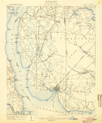
1904 · Edenton
USGS Topo · 1:62,500
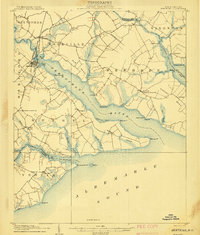
1906 · Hertford
USGS Topo · 1:62,500
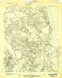
1906 · Beckford
USGS Topo · 1:48,000
1907 · Beckford
USGS Topo · 1:62,500
1919 · Suffolk
USGS Topo · 1:62,500
1939 · Moyock
USGS Topo · 1:62,500
1940 · Hertford
USGS Topo · 1:62,500
1940 · Beckford
USGS Topo · 1:62,500
1940 · Lake Drummond
USGS Topo · 1:62,500
1940 · Wade Point
USGS Topo · 1:62,500