Old Maps of Morehead City, North Carolina for Academic Research
Study the evolution of Morehead City with 28 high-resolution historic maps. Whether you're teaching, researching, or modeling changes in land use, these maps provide essential visual documentation of urban, environmental, and geographic change.
- Analyze long-term change: Track patterns in development, transportation, and natural features.
- Ideal for environmental or urban studies: Support academic projects with primary historical map data.
- Use in the classroom or lab: Educators and researchers rely on these maps to bring historical context to life.
These maps are a powerful tool for teaching, research, and visualizing how Morehead City has changed over the decades.
Morehead City, NC maps
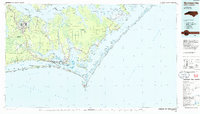
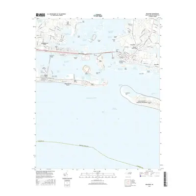
(28)- 1949 Map of Beaufort, 1964 Print
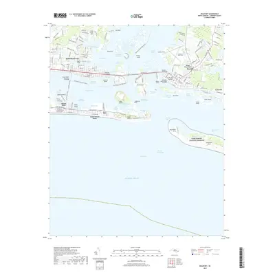
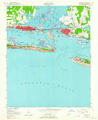 1949 Beaufort1964 Print · USGSCoastal Carteret County comes alive in the late 1940s, showing the developing waterfronts of Morehead City and Beaufort. Genealogists and historians can trace local landmarks like Bay View Cem, Fort Macon, and the Atlantic and East Carolina rail line.6 unique versions available
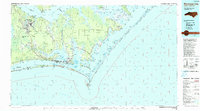
 - 1949 Map of Mansfield, 1984 Print
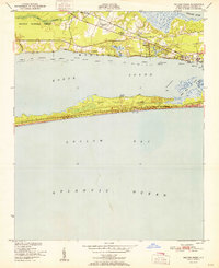
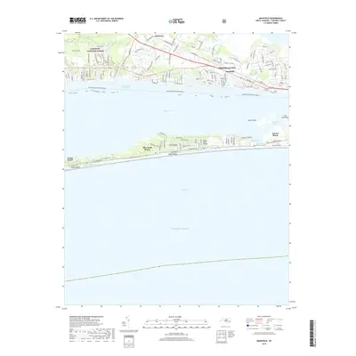
 1949 Mansfield1984 Print · USGSCoastal Carteret County comes alive in this mid-century survey as Morehead City and Mansfield grow alongside the Bogue Sound. Genealogists and historians can trace mainland landmarks like St Marks Chapel or early development on the banks at Atlantic Beach.
 - 1949 Map of Core Creek, 1984 Print
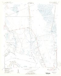
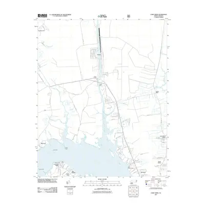
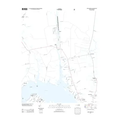
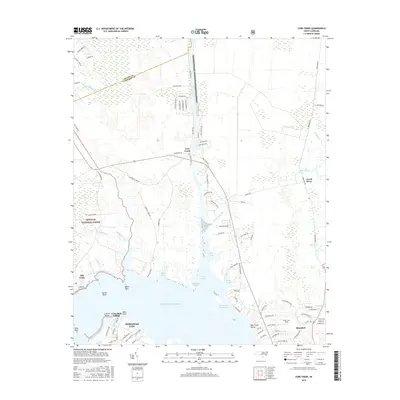
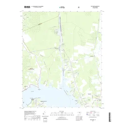
 1949 Core Creek1984 Print · USGSCoastal Carteret County is mapped here in the mid-twentieth century as the maritime and timber economies shaped the shoreline. Genealogists and local researchers can trace early homesteads and community life through Crab Point Village, Tattles Grove Ch, and the Barge Landing Basin.2 unique versions available
 - 1951 Map of Core Creek
 1951 Core Creek1951 Print · USGSCoastal Carteret County in the early fifties shows a landscape defined by the Intracoastal Waterway and the Croatan National Forest. Genealogists can locate family landmarks like Crab Point Village and several country churches, including Live Oak Grove Ch and Freewill Ch.3 unique versions available
 - 1951 Map of Peltier Creek
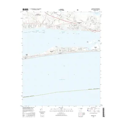
 1951 Peltier Creek1951 Print · USGSCoastal Carteret County in the early fifties reveals a landscape of maritime forests and quiet railroad hamlets before the boom of modern beach development. Trace the early footprints of Morehead City Airport and Camp Morehead, or locate family sites near Wildwood and St Marks Chapel.2 unique versions available
 - 1951 Map of Beaufort
 1951 Beaufort1951 Print · USGSCoastal Carteret County thrives as a maritime and rail hub in the years following the second World War. Genealogists and local historians can trace family-named landmarks like Willis Point and Steep Pines Fork, or locate institutional anchors like U.S. Marine Biological Station.2 unique versions available
 - 1953 Map of Beaufort, 1965 Print
 1953 Beaufort1965 Print · USGSThe North Carolina coastline in the mid-fifties reveals an era of massive military expansion alongside traditional maritime life. Genealogists can trace family names and small settlements from Sealevel to Sneads Ferry or locate landmarks like Fort Macon.3 unique versions available
 - 1954 Map of Beaufort
 1954 Beaufort1954 Print · USGSCoastal North Carolina in the mid-fifties reveals a landscape of strategic military installations, sprawling wetlands, and thriving rail towns. Genealogists and historians can trace the foundations of Wilmington, the rural reaches of Duplin County, and shoreline landmarks like Cape Lookout and Carolina Beach.
 - 1972 Map of Beaufort, 1975 Print
 1972 Beaufort1975 Print · USGSThe North Carolina coast in the early seventies shows a landscape defined by massive military bases and coastal sounds. Trace rural family roots at Sarecta and Catherine Lake or explore the barrier islands of the Cape Lookout National Seashore.
 - 1985 Map of Morehead City
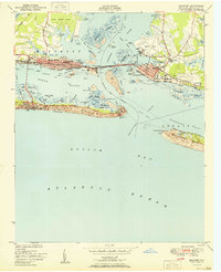
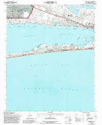
 1985 Morehead City1985 Print · USGSCoastal Carteret County in the 1980s reveals a transition from military installations and industrial hubs to protected wilderness along the Outer Banks. Researchers can trace the development of Morehead City and Beaufort or explore the remote stretches of Shackleford Banks and Harkers Island.
 - 1990 Map of Morehead City
 1990 Morehead City1990 Print · USGSCoastal Carteret County at the start of the nineties reveals a landscape balanced between military installations and expansive national seashores. Trace the shoreline from Cherry Point down to the Lighthouse at Cape Lookout and the historic streets of Beaufort.
 - 1994 Map of Core Creek, 1997 Print
 1994 Core Creek1997 Print · USGSCoastal Carteret County is mapped here in the mid-nineties, showing the critical junction where the Intracoastal Waterway meets the Newport River. Local historians can trace established communities like Crab Point Village and Bayview alongside rural landmarks like Graham Chapel.2 unique versions available
 - 1994 Map of Mansfield, 1997 Print
 1994 Mansfield1997 Print · USGSThe North Carolina coast in the mid-1990s reveals a landscape defined by the busy Bogue Sound and the growth of its barrier islands. Researchers can trace the rail line of the Atlantic and East Carolina through Mansfield or locate landmarks like St Marks Chapel and the N C Marine Resources Center.3 unique versions available
 - 2011 Map of Beaufort, 2011 Print
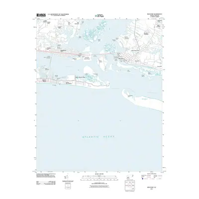 2011 Beaufort2011 Print · USGSCovers Morehead City, including Atlantic Beach, Lenoxville, and other nearby areas
 - 2011 Map of Core Creek, 2011 Print
 2011 Core Creek2011 Print · USGSCovers Morehead City, including Crab Point Village, North River, and other nearby areas
 - 2011 Map of Mansfield, 2011 Print
 2011 Mansfield2011 Print · USGSCovers Morehead City, including Atlantic Beach, Pine Knoll Shores, and other nearby areas
 - 2013 Map of Mansfield, 2013 Print
 2013 Mansfield2013 Print · USGSCovers Morehead City, including Atlantic Beach, Pine Knoll Shores, and other nearby areas
 - 2013 Map of Beaufort, 2013 Print
 2013 Beaufort2013 Print · USGSCovers Morehead City, including Atlantic Beach, Lenoxville, and other nearby areas
 - 2013 Map of Core Creek, 2013 Print
 2013 Core Creek2013 Print · USGSCovers Morehead City, including Crab Point Village, North River, and other nearby areas
 - 2016 Map of Beaufort, 2016 Print
 2016 Beaufort2016 Print · USGSCovers Morehead City, including Atlantic Beach, Lenoxville, and other nearby areas
 - 2016 Map of Core Creek, 2016 Print
 2016 Core Creek2016 Print · USGSCovers Morehead City, including Crab Point Village, North River, and other nearby areas
 - 2016 Map of Mansfield, 2016 Print
 2016 Mansfield2016 Print · USGSCovers Morehead City, including Atlantic Beach, Pine Knoll Shores, and other nearby areas
 - 2019 Map of Core Creek, 2019 Print
 2019 Core Creek2019 Print · USGSCovers Morehead City, including Crab Point Village, North River, and other nearby areas
 - 2019 Map of Mansfield, 2019 Print
 2019 Mansfield2019 Print · USGSCovers Morehead City, including Atlantic Beach, Pine Knoll Shores, and other nearby areas
 - 2019 Map of Beaufort, 2019 Print
 2019 Beaufort2019 Print · USGSCovers Morehead City, including Atlantic Beach, Lenoxville, and other nearby areas
Showing maps 1-25 of 28
Top cities near Morehead City
- Havelock historical maps
- Newport historical maps
- Emerald Isle historical maps
- Atlantic Beach historical maps
- Pine Knoll Shores historical maps
- Indian Beach historical maps
Top neighborhoods of Morehead City
- Bonham Heights historical maps
- Mansfield historical maps
- Mitchell Village historical maps
- Carolina City historical maps
- Spooners Creek East Harbor historical maps
Frequently asked questions
- What are the different types of historical maps available for Morehead City?
- What is the oldest map of Morehead City?
- Where can I purchase historical maps of Morehead City for my home or office?
- Where can I download high-res historical maps of Morehead City?
- Are there historical topographic maps available for Morehead City?
- Is there historical aerial imagery available for Morehead City?
- Where are historical maps of Morehead City sourced from?