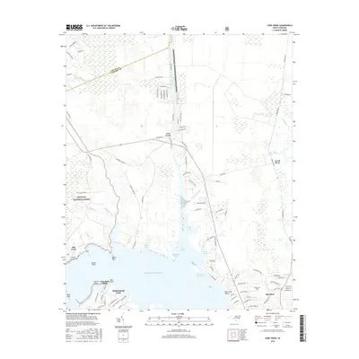
2016 Map of Core Creek
USGS Topo · Published 2016About this map
The Croatan National Forest borders the western edge of this coastal landscape, where the dense timberlands of the interior meet the intricate marshlands and sounds of Carteret County. The map documents the vital water highway of the Intracoastal Waterway as it transitions through the Adams Creek Canal and into the broader waters of Core Creek. This engineering feat is central to the area's maritime identity, linking the protected inland passages to the Atlantic Ocean.
Find a feature on this map
102 named features on this map. Tap any name to fly to it.
Don’t see what you’re looking for? This feature index may not catch every label — zoom into the map to look around manually.
Map Details
Editions of this 2016 Core Creek Map
This is the sole edition of this map. No revisions or reprints were ever made.
Other maps of this area

1949 · Beaufort
USGS Topo · 1:24,000

1949 · Merrimon
USGS Topo · 1:24,000

1949 · Newport
USGS Topo · 1:24,000

1949 · Williston
USGS Topo · 1:24,000

1949 · Harkers Island
USGS Topo · 1:24,000

1949 · South River
USGS Topo · 1:24,000

1949 · Mansfield
USGS Topo · 1:24,000

1949 · Cherry Point
USGS Topo · 1:24,000

1949 · Core Creek
USGS Topo · 1:24,000

1950 · South River
USGS Topo · 1:24,000