2000s (21st Century) Maps of Casville, North Carolina
Explore 6 historic maps of Casville from the 2000s (21st Century). These maps offer a rare glimpse into what life looked like during the 2000s — showing old roads, neighborhoods, homes, and landmarks that have changed or disappeared over time.
Whether you're researching your family's past, planning a metal detecting trip, or studying how Casville's landscape evolved across the 2000s, these high-resolution maps are a powerful tool for exploring the history of this region.
- Focus on a specific era: All maps on this page are from the 2000s, giving you a focused view of this time period.
- See what’s changed: Compare century-old streets, trails, and buildings to today's modern landscape using overlays and satellite layers.
- Research with precision: Use these maps for genealogy, historical research, land use analysis, or educational projects.
- View, download, or print: Maps are fully viewable online in high resolution, and can be downloaded or printed for your own records.
Start exploring Casville's history through authentic maps from the 2000s. This is your window into the past.
Casville, NC maps
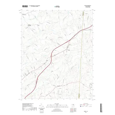
(6)- 2002 Map of Ruffin
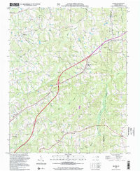 2002 Ruffin2002 Print · USGSThe rural landscapes of Rockingham and Caswell counties are captured here at the start of the new millennium. Family historians can trace local roots through numerous landmarks like Mullins-Stacy Cem, Lively Stones Ch, and the crossroads at Stephens Crossroads.
 - 2010 Map of Ruffin, 2010 Print
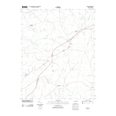 2010 Ruffin2010 Print · USGSCovers Casville, including Sadler, Lawsonville, and other nearby areas
 - 2013 Map of Ruffin, 2013 Print
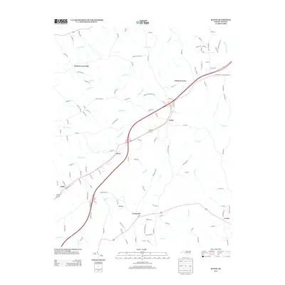 2013 Ruffin2013 Print · USGSCovers Casville, including Sadler, Lawsonville, and other nearby areas
 - 2016 Map of Ruffin, 2016 Print
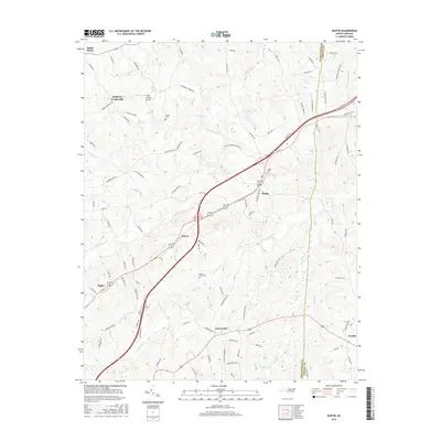 2016 Ruffin2016 Print · USGSCovers Casville, including Sadler, Lawsonville, and other nearby areas
 - 2019 Map of Ruffin, 2019 Print
 2019 Ruffin2019 Print · USGSCovers Casville, including Sadler, Lawsonville, and other nearby areas
 - 2022 Map of Ruffin, 2022 Print
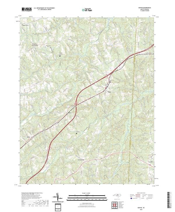 2022 Ruffin2022 Print · USGSRockingham County at the modern era shows a landscape where historic rural settlements meet modern transit corridors. Researchers can trace family history at the Guerrant Martin Family Cem or explore early communities like Lawsonville and Happy Home.
End of results
Showing maps 1-6 of 6
Top cities near Casville
- Greensboro historical maps
- Danville historical maps
- Eden historical maps
- Reidsville historical maps
- Wentworth historical maps
- Yanceyville historical maps
See more
Frequently asked questions
- What are the different types of historical maps available for Casville?
- What is the oldest map of Casville?
- Where can I purchase historical maps of Casville for my home or office?
- Where can I download high-res historical maps of Casville?
- Are there historical topographic maps available for Casville?
- Is there historical aerial imagery available for Casville?
- Where are historical maps of Casville sourced from?