2000s (21st Century) Maps of Conover, North Carolina
Explore 15 historic maps of Conover from the 2000s (21st Century). These maps offer a rare glimpse into what life looked like during the 2000s — showing old roads, neighborhoods, homes, and landmarks that have changed or disappeared over time.
Whether you're researching your family's past, planning a metal detecting trip, or studying how Conover's landscape evolved across the 2000s, these high-resolution maps are a powerful tool for exploring the history of this region.
- Focus on a specific era: All maps on this page are from the 2000s, giving you a focused view of this time period.
- See what’s changed: Compare century-old streets, trails, and buildings to today's modern landscape using overlays and satellite layers.
- Research with precision: Use these maps for genealogy, historical research, land use analysis, or educational projects.
- View, download, or print: Maps are fully viewable online in high resolution, and can be downloaded or printed for your own records.
Start exploring Conover's history through authentic maps from the 2000s. This is your window into the past.
Conover, NC maps
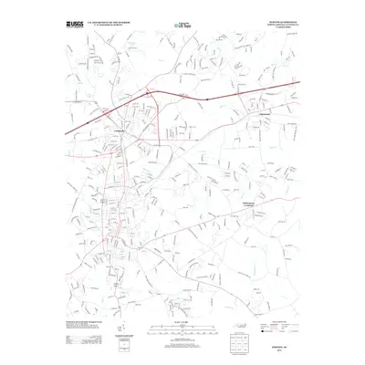
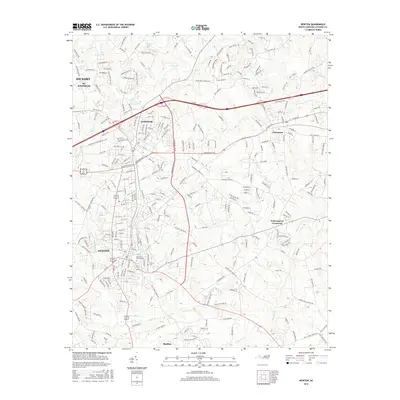
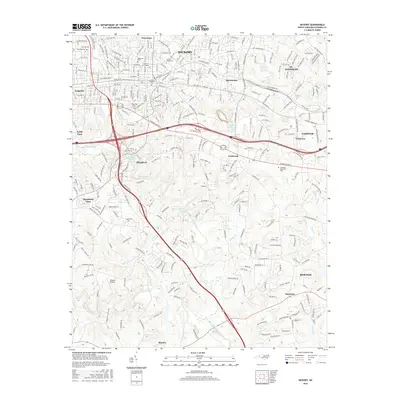
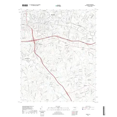
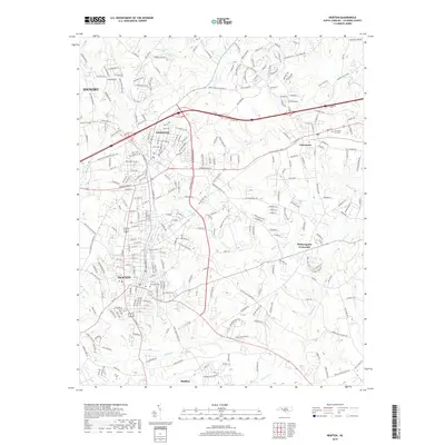
(15)- 2010 Map of Newton, 2010 Print
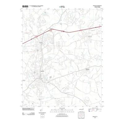 2010 Newton2010 Print · USGSCovers Conover, including Hickory, Newton, and other nearby areas
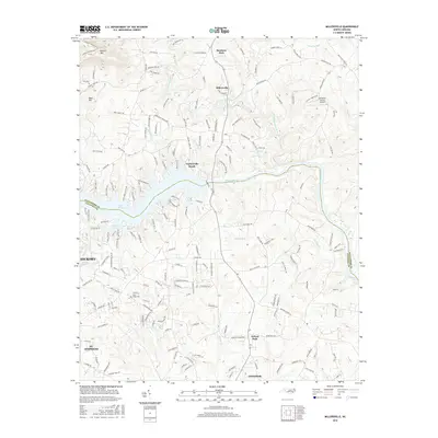
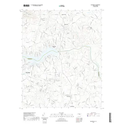
 - 2010 Map of Millersville, 2010 Print
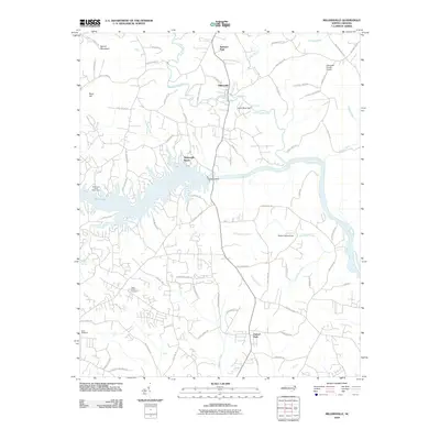 2010 Millersville2010 Print · USGSCovers Conover, including Hickory, Millersville, and other nearby areas
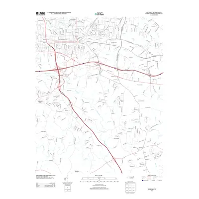
 - 2010 Map of Hickory, 2010 Print
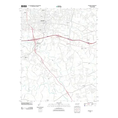 2010 Hickory2010 Print · USGSCovers Conover, including Hickory, Newton, and other nearby areas
 - 2013 Map of Millersville, 2013 Print
 2013 Millersville2013 Print · USGSCovers Conover, including Hickory, Millersville, and other nearby areas
 - 2013 Map of Newton, 2013 Print
 2013 Newton2013 Print · USGSCovers Conover, including Hickory, Newton, and other nearby areas
 - 2013 Map of Hickory, 2013 Print
 2013 Hickory2013 Print · USGSCovers Conover, including Hickory, Newton, and other nearby areas
 - 2016 Map of Millersville, 2016 Print
 2016 Millersville2016 Print · USGSCovers Conover, including Hickory, Millersville, and other nearby areas
 - 2016 Map of Newton, 2016 Print
 2016 Newton2016 Print · USGSCovers Conover, including Hickory, Newton, and other nearby areas
 - 2016 Map of Hickory, 2016 Print
 2016 Hickory2016 Print · USGSCovers Conover, including Hickory, Newton, and other nearby areas
 - 2019 Map of Millersville, 2019 Print
 2019 Millersville2019 Print · USGSCovers Conover, including Hickory, Millersville, and other nearby areas
 - 2019 Map of Hickory, 2019 Print
 2019 Hickory2019 Print · USGSCovers Conover, including Hickory, Newton, and other nearby areas
 - 2019 Map of Newton, 2019 Print
 2019 Newton2019 Print · USGSCovers Conover, including Hickory, Newton, and other nearby areas
 - 2022 Map of Millersville, 2022 Print
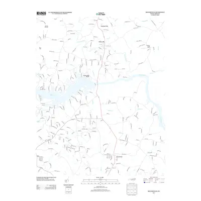
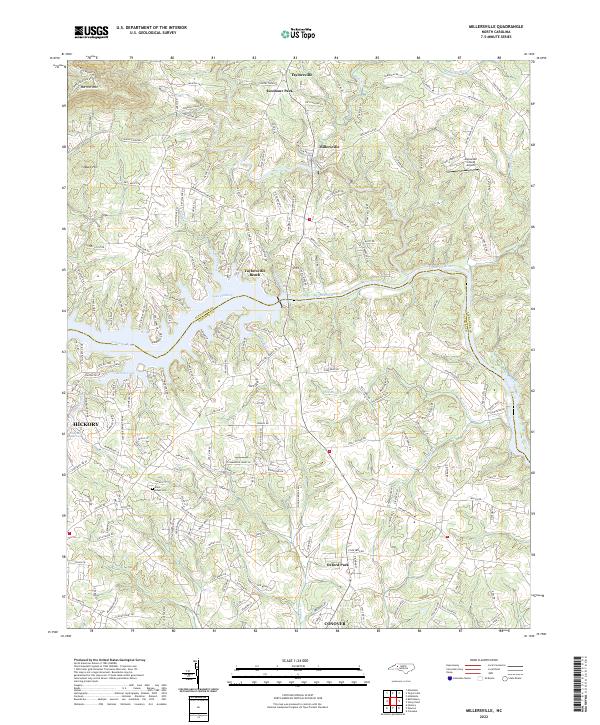 2022 Millersville2022 Print · USGSThe Catawba River valley comes alive in this contemporary study of the Alexander and Catawba county line during its recent period of growth. Researchers can trace family-named rural routes and locate landmarks like Saint Lukes Cem, Alexander County Airport, and Taylorsville Beach.
 - 2022 Map of Newton, 2022 Print
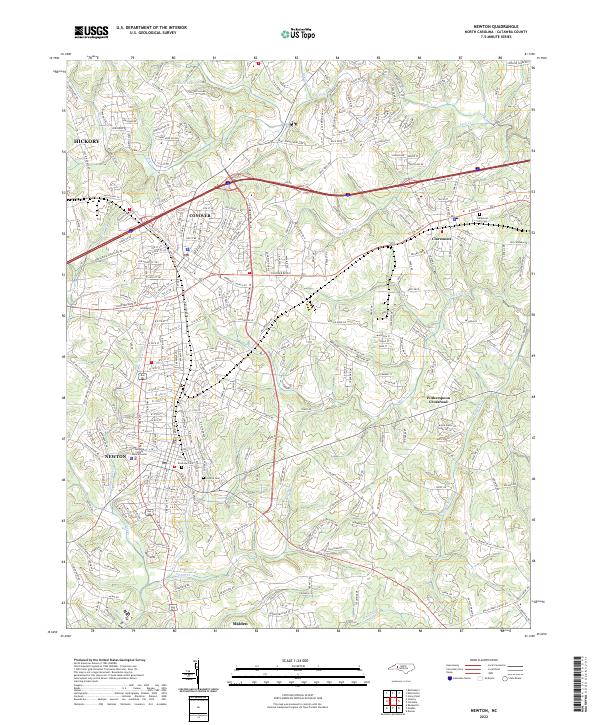 2022 Newton2022 Print · USGSNewton and Conover appear in their modern Catawba County context during the 2020s, showcasing a landscape of rapid suburban and industrial growth. Researchers can locate the Catawba County Justice Center, trace the path of Smyre Cr, or find family records at the Claremont City Cem.
 - 2022 Map of Hickory, 2022 Print
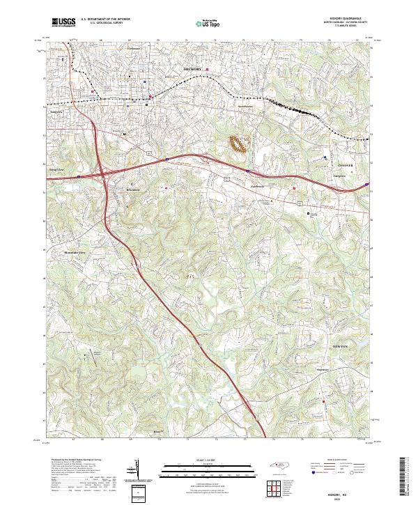 2022 Hickory2022 Print · USGSCatawba County at the start of the 2020s shows a landscape of institutional growth and deep-rooted local history. Genealogists can locate legacy sites like Robinson Cem and Fairview Cem, while researchers can trace the reach of the Norfolk Southern railroad.
End of results
Showing maps 1-15 of 15
Top cities near Conover
- Hickory historical maps
- Newton historical maps
- Lincolnton historical maps
- Long View historical maps
- Granite Falls historical maps
- Maiden historical maps
See more
Frequently asked questions
- What are the different types of historical maps available for Conover?
- What is the oldest map of Conover?
- Where can I purchase historical maps of Conover for my home or office?
- Where can I download high-res historical maps of Conover?
- Are there historical topographic maps available for Conover?
- Is there historical aerial imagery available for Conover?
- Where are historical maps of Conover sourced from?