2010s Maps of Chowan County, North Carolina
Explore 40 historic maps of Chowan County from the 2010s. These maps offer a rare glimpse into what life looked like during the 2010s — showing old roads, neighborhoods, homes, and landmarks that have changed or disappeared over time.
Whether you're researching your family's past, planning a metal detecting trip, or studying how Chowan County's landscape evolved across the 2010s, these high-resolution maps are a powerful tool for exploring the history of this region.
- Focus on a specific era: All maps on this page are from the 2010s, giving you a focused view of this time period.
- See what’s changed: Compare century-old streets, trails, and buildings to today's modern landscape using overlays and satellite layers.
- Research with precision: Use these maps for genealogy, historical research, land use analysis, or educational projects.
- View, download, or print: Maps are fully viewable online in high resolution, and can be downloaded or printed for your own records.
Start exploring Chowan County's history through authentic maps from the 2010s. This is your window into the past.
Chowan County, NC maps
(40)- 2010 Map of Westover, 2010 Print
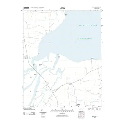 2010 Westover2010 Print · USGSCoastal North Carolina at the opening of the decade reveals a landscape defined by the expansive Albemarle Sound and the winding Roanoke River. Genealogists and local historians can trace the rural communities of Westover and Macedonia or locate heritage sites like Saint Luke Cemetery.
 - 2010 Map of Leonards Point, 2010 Print
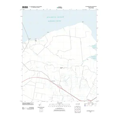 2010 Leonards Point2010 Print · USGSCoastal Washington County is seen here at the start of the 2010s, where the low-lying banks of the Albemarle Sound meet rural inland crossroads. Genealogists can trace family locations and local landings like Davenport Forks, Newberry Landing, and Pea Ridge.
 - 2010 Map of Roper North, 2010 Print
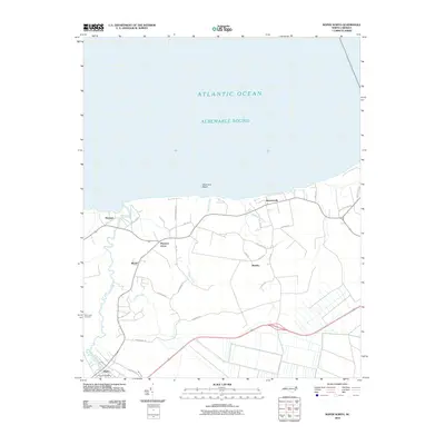 2010 Roper North2010 Print · USGSThe southern shores of the Albemarle Sound come into focus during the early twenty-first century. Researchers can trace the layout of coastal settlements like Skinnersville and Mackeys, or locate Saint Luke Cemetery and S Lees Saw Mills.
 - 2010 Map of Valhalla, 2010 Print
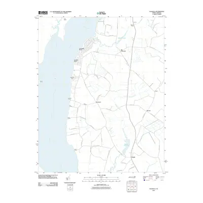 2010 Valhalla2010 Print · USGSCoastal North Carolina river life is captured here during the first decade of the new millennium. Researchers can trace family-named points and historic water features like Nixon Cemetery, Bennett Mill Pond, and Rockyhock Landing.
 - 2010 Map of Mintonsville, 2010 Print
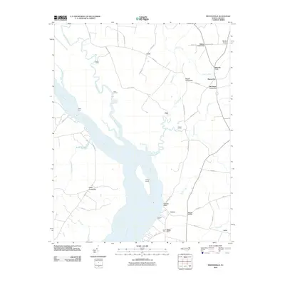 2010 Mintonsville2010 Print · USGSThe riverfront of Gates County is captured here in the early twenty-first century, showing a landscape defined by the Chowan River and its many creek systems. Researchers can trace the heritage of local commerce and navigation at Cannon Ferry, Woodleys Wharf, and the many landings along Bennetts Creek.
 - 2010 Map of Edenhouse, 2010 Print
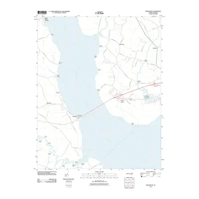 2010 Edenhouse2010 Print · USGSThe Chowan River waterfront in the early twenty-first century reveals a landscape shaped by riverine commerce and colonial history. Researchers can trace numerous family-named landmarks and water-access points like Hermitage Wharf, Macedonia, and Edenhouse.
 - 2010 Map of Center Hill, 2010 Print
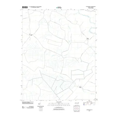 2010 Center Hill2010 Print · USGSCoastal plain farmland and quiet rural crossroads define this corner of North Carolina at the start of the new millennium. Genealogists and local researchers can locate Tyner Post Office and trace family-named routes like Beech Springs Rd and Sharps Ln.
 - 2010 Map of Yeopim River, 2010 Print
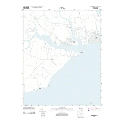 2010 Yeopim River2010 Print · USGSThe Yeopim River waterfront in the early twenty-first century shows a blend of established settlements and newer residential enclaves. Researchers can trace land tracts near Philips Cemetery, locate old maritime markers like Laurel Point Light House, and explore the developed shorelines of Snug Harbor.
 - 2010 Map of Hobbsville, 2010 Print
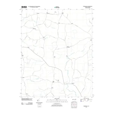 2010 Hobbsville2010 Print · USGSCoastal plain settlements and winding river systems define this portion of Gates and Perquimans counties at the start of the century. Genealogists and local historians can trace old community lines and landmarks like Piney Woods Cemetery, Belvidere, and the Upriver Bridge.
 - 2010 Map of Edenton, 2010 Print
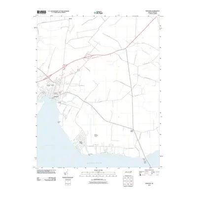 2010 Edenton2010 Print · USGSCoastal Chowan County comes alive in this survey of the Albemarle Sound shoreline at the turn of the decade. Genealogists can locate family sites like Johnston Cemetery or trace the development of Cape Colony and Saint Johns.
 - 2013 Map of Hobbsville, 2013 Print
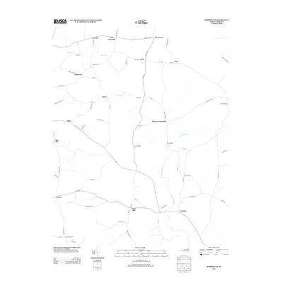 2013 Hobbsville2013 Print · USGSThe rural crossroads of northeastern North Carolina are documented here in the early twenty-first century as agricultural life continues along the Perquimans River. Researchers can trace local lineage through numerous named settlements and landmarks like Belvidere, Hobbsville, and Perry Bridge.
 - 2013 Map of Center Hill, 2013 Print
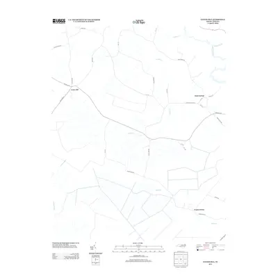 2013 Center Hill2013 Print · USGSCoastal plain settlements in Chowan County appear as they were in the early 2010s, showing a landscape shaped by significant swamplands and agricultural roads. Researchers can trace the drainage of Bagley Swamp and locate rural hubs like Beach Springs and Yeopim Station.
 - 2013 Map of Edenhouse, 2013 Print
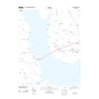 2013 Edenhouse2013 Print · USGSCoastal Chowan County comes into focus in this early twenty-first-century survey, where the river and sound shape every settlement. Researchers can trace historic river landings like Mount Gould Landing, local fisheries such as Capeharts Fishery, and the grounds of the Edenton National Fish Hatchery.
 - 2013 Map of Valhalla, 2013 Print
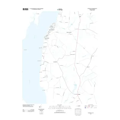 2013 Valhalla2013 Print · USGSCoastal North Carolina riverfront life and rural crossroads are captured here in the early twenty-first century. Genealogists and local historians can trace family land near Rockyhock, explore the residential streets of Arrowhead Beach, or locate the historic site of Dillard Millpond.
 - 2013 Map of Yeopim River, 2013 Print
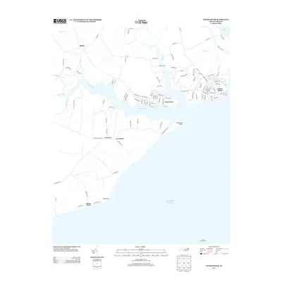 2013 Yeopim River2013 Print · USGSThe Yeopim River shoreline comes into focus in this early twenty-first-century survey of the North Carolina coast. Genealogists and historians can trace coastal settlements like Snug Harbor, identify maritime landmarks such as the Laurel Point Light House, and locate family land near Somerset.
 - 2013 Map of Mintonsville, 2013 Print
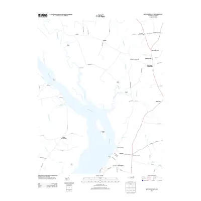 2013 Mintonsville2013 Print · USGSCoastal North Carolina at the turn of the millennium remains a landscape defined by its river-bend landings and rural junctions. Genealogists and local historians can trace family-named sites such as Roberts Landing, Hutson Corner, and the community of Mintonsville.
 - 2013 Map of Edenton, 2013 Print
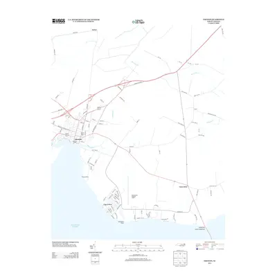 2013 Edenton2013 Print · USGSEdenton and the Chowan County coast are captured in the early twenty-first century as modern growth meets historic maritime roots. Researchers can trace the layout of the town from the Courthouse Green to the residential streets of Cape Colony and Saint Johns.
 - 2013 Map of Leonards Point, 2013 Print
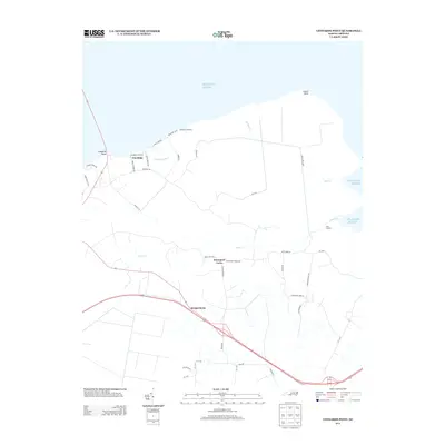 2013 Leonards Point2013 Print · USGSCoastal Washington County is documented here in the early twenty-first century, showing the intersection of maritime landings and rural crossroads. Genealogists and local historians can trace family-named routes and small communities like Davenport Forks, Pea Ridge, and Scuppernong.
 - 2013 Map of Westover, 2013 Print
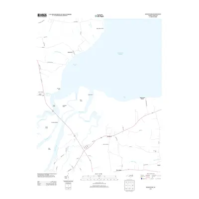 2013 Westover2013 Print · USGSCoastal North Carolina's riverine landscape is captured here in the early twenty-first century, showing the meeting of the Roanoke and the Atlantic. Genealogists and local historians can trace family-named sites like Buncombe Hall, Peterson, and Cashoke Landing.
 - 2013 Map of Roper North, 2013 Print
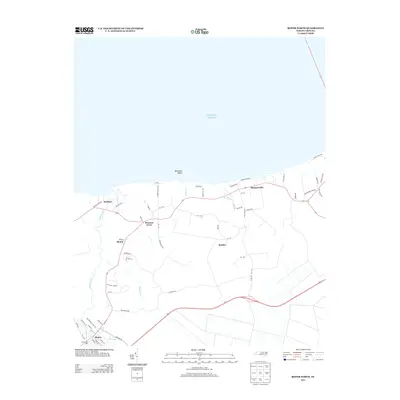 2013 Roper North2013 Print · USGSCoastal North Carolina's low-lying woodlands and shoreline are captured here in the early twenty-first century. Researchers can trace the local landscape from the waters of Batemans Beach to industrial sites like S Lees Saw Mills and the town of Roper.
 - 2016 Map of Leonards Point, 2016 Print
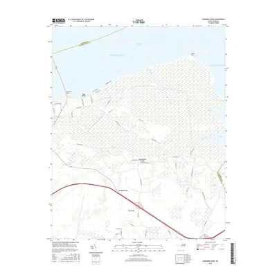 2016 Leonards Point2016 Print · USGSCoastal Washington County at the edge of the sound is revealed in this 2016 survey of its wetlands and rural crossroads. Researchers can trace local landmarks like Creswell, Davenport Forks, and the landings at Deep Creek Lndg and Newberry Lndg.
 - 2016 Map of Westover, 2016 Print
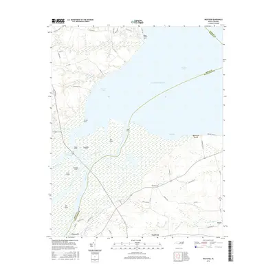 2016 Westover2016 Print · USGSThe Roanoke River delta meets the Albemarle Sound in this recent survey of the North Carolina tidewater. Researchers can trace rural cemeteries and local landmarks like Saint Luke Cem, Westover, and the waterways of Conaby Creek.
 - 2016 Map of Roper North, 2016 Print
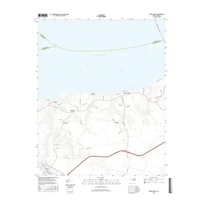 2016 Roper North2016 Print · USGSCoastal Washington County and the town of Roper are shown in the twenty-tens, illustrating the intersection of maritime life and inland agriculture. Trace the drainage networks near Kendrick Creek or explore shoreline sites like Mackeys and Skinnersville.
 - 2016 Map of Yeopim River, 2016 Print
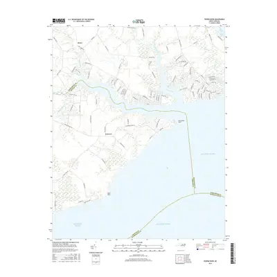 2016 Yeopim River2016 Print · USGSThe North Carolina coast at the confluence of the Yeopim and Perquimans rivers is detailed here during the mid-2010s. Local researchers can trace family landmarks like Philips Cem and the small settlements of Somerset and Bethel near the shores of Halsey Bay.
 - 2016 Map of Hobbsville, 2016 Print
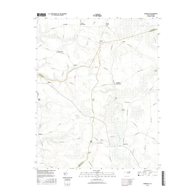 2016 Hobbsville2016 Print · USGSCoastal plain settlements and the edge of the Great Dismal Swamp define this North Carolina landscape in the mid-2010s. Researchers can trace rural lineages through sites like Riddicks Grove Cem and crossroads like Belvidere and Hobbsville.
Showing maps 1-25 of 40
Top cities of Chowan County
Frequently asked questions
- What are the different types of historical maps available for Chowan County?
- What is the oldest map of Chowan County?
- Where can I purchase historical maps of Chowan County for my home or office?
- Where can I download high-res historical maps of Chowan County?
- Are there historical topographic maps available for Chowan County?
- Is there historical aerial imagery available for Chowan County?
- Where are historical maps of Chowan County sourced from?