Old Maps of Shewbird, North Carolina for Academic Research
Study the evolution of Shewbird with 14 high-resolution historic maps. Whether you're teaching, researching, or modeling changes in land use, these maps provide essential visual documentation of urban, environmental, and geographic change.
- Analyze long-term change: Track patterns in development, transportation, and natural features.
- Ideal for environmental or urban studies: Support academic projects with primary historical map data.
- Use in the classroom or lab: Educators and researchers rely on these maps to bring historical context to life.
These maps are a powerful tool for teaching, research, and visualizing how Shewbird has changed over the decades.
Shewbird, NC maps
(14)- 1935 Map of Hayesville
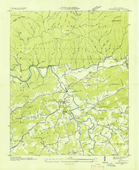 1935 Hayesville1935 Print · USGSClay County's river valleys and high ridges are captured in the mid-1930s during a period of transition for Western North Carolina. Genealogists and local historians can locate family landmarks like Meyers Chapel Cem, the Philadelphia Ch, and the old Fires Creek Sch.
 - 1937 Map of Hayesville, 1957 Print
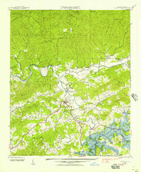 1937 Hayesville1957 Print · USGSClay County was on the verge of total transformation in the late 1930s as the Tennessee Valley Authority planned its massive reservoirs. You can trace the original valley floors of Scrougetown and Tusquitee before they were altered, alongside landmarks like Philadelphia Church and the Sanderson Bridge.2 unique versions available
 - 1938 Map of Hayesville
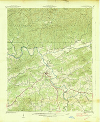 1938 Hayesville1938 Print · USGSClay County in the late 1930s is a landscape of mountain gaps and river valleys, centered on the growth of Hayesville. Genealogists and historians can trace family locations through numerous rural landmarks like Happy Top Church, Scrougetown, and the Fires Creek Ch and Sch.
 - 1955 Map of Knoxville
 1955 Knoxville1955 Print · USGSThe Southern Appalachians and the Smoky Mountains are shown here at a peak of mid-century development and conservation. Genealogists and historians can trace the early road networks connecting Gatlinburg, Waynesville, and the Cherokee Indian Reservation across the high ridges.
 - 1957 Map of Knoxville, 1966 Print
 1957 Knoxville1966 Print · USGSThe Southern Appalachians of Tennessee and North Carolina are mapped here during the mid-twentieth century as new highways reached the high country. Genealogists and historians can trace the topography between Knoxville and Asheville, locating family landmarks near Fontana Lake or along the Blue Ridge Parkway.4 unique versions available
 - 1960 Map of Knoxville
 1960 Knoxville1960 Print · USGSThe Southern Appalachians come alive in the 1950s, showing the intersection of new national park tourism and deep-rooted mountain industry. Trace old rail lines like the Clinchfield RR and find high-altitude landmarks from Mt Le Conte to the Cherokee Indian Reservation.2 unique versions available
 - 1964 Map of Knoxville
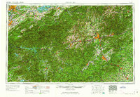 1964 Knoxville1964 Print · USGSThe Southern Appalachians and Great Smokies are captured here during the mid-sixties, showing the rugged borderlands of Tennessee and North Carolina. Researchers can trace historic mountain routes like U S 441, the expanse of Pisgah National Forest, and the growing footprints of Asheville and Knoxville.
 - 1966 Map of Hayesville, 1968 Print
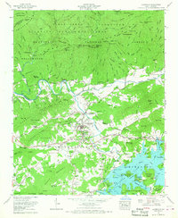 1966 Hayesville1968 Print · USGSHayesville and the Hiwassee River valley are captured in the mid-sixties as Chatuge Lake shaped the local landscape. Genealogists and historians can locate the Hayesville Cem, Ledford Chapel, and family sites near Matheson and Blair.3 unique versions available
 - 1983 Map of Fontana Lake
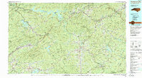 1983 Fontana Lake1983 Print · USGSWestern North Carolina's high peaks and reservoir-carved valleys are documented here during the early eighties. Genealogists and local historians can trace the mountain communities of Bryson City and Franklin or explore the boundaries of the Qualla Boundary.2 unique versions available
 - 2011 Map of Hayesville, 2011 Print
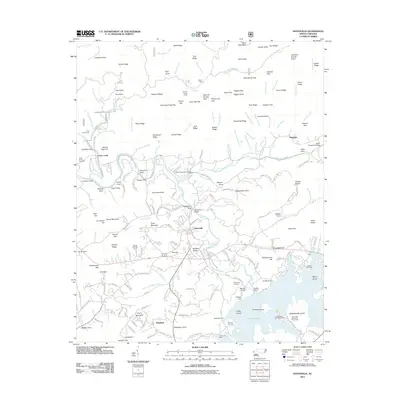 2011 Hayesville2011 Print · USGSHayesville and the Hiwassee River valley are captured here just after the first decade of the new millennium. Researchers can trace family history through local landmarks like Hayesville Cemetery, Myers Chapel, and the river crossing at Sanderson Bridge.
 - 2013 Map of Hayesville, 2013 Print
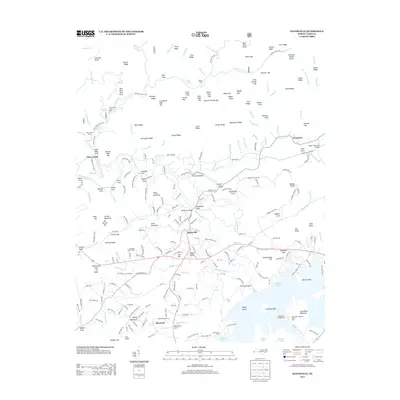 2013 Hayesville2013 Print · USGSHayesville and the Hiwassee River valley are captured here during a period of established lakeside recreation and mountain living. Genealogists and local historians can trace family-named landmarks and old routes near Schoolhouse Hill, Shewbird, and Tusquitee.
 - 2016 Map of Hayesville, 2016 Print
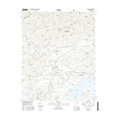 2016 Hayesville2016 Print · USGSClay County at the height of the mid-2010s reveals a mountain community oriented around the Hiwassee River and the sprawling Nantahala National Forest. Genealogists and local historians can trace family roots through landmarks like Hayesville Cemetery, Schoolhouse Hill, and the small settlement of Tusquitee.
 - 2019 Map of Hayesville, 2019 Print
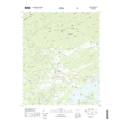 2019 Hayesville2019 Print · USGSHayesville and the upper reaches of Chatuge Lake are captured here during the late 2010s. Genealogists and local researchers can locate several historic burial sites like Ledford Cem and Hayesville Cem, or trace family landmarks across Philadelphia Church Cove.
 - 2022 Map of Hayesville, 2022 Print
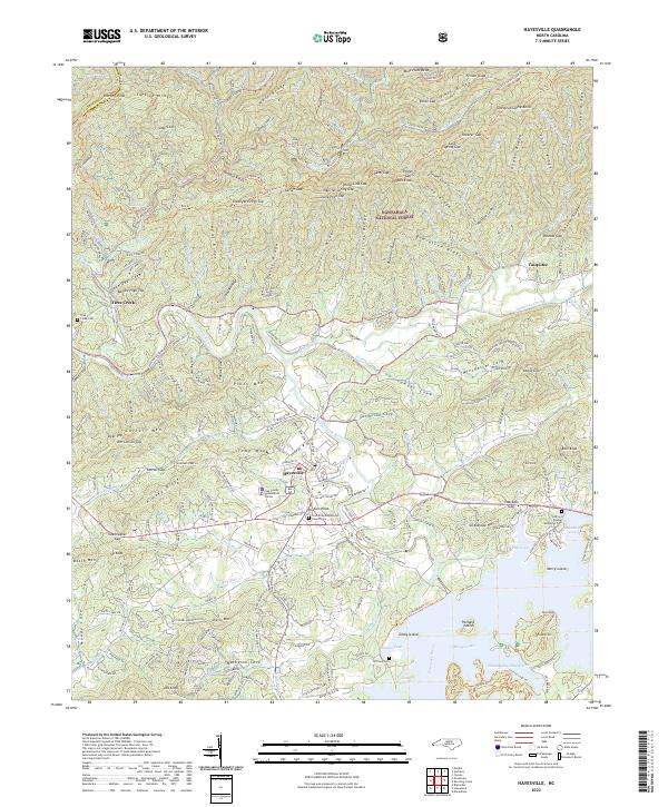 2022 Hayesville2022 Print · USGSClay County, North Carolina, shows its modern settlement patterns alongside the deep ridges of the Blue Ridge in the early 2020s. Genealogists can locate family sites near Ledford Chapel Methodist Cem or trace the remote reaches of Fires Creek and Tusquitee.
End of results
Showing maps 1-14 of 14
Top cities near Shewbird
- Andrews historical maps
- Murphy historical maps
- Hiawassee historical maps
- Blairsville historical maps
- Young Harris historical maps
- Hayesville historical maps
Frequently asked questions
- What are the different types of historical maps available for Shewbird?
- What is the oldest map of Shewbird?
- Where can I purchase historical maps of Shewbird for my home or office?
- Where can I download high-res historical maps of Shewbird?
- Are there historical topographic maps available for Shewbird?
- Is there historical aerial imagery available for Shewbird?
- Where are historical maps of Shewbird sourced from?