1970s Maps of Cleveland County, North Carolina
Explore 17 historic maps of Cleveland County from the 1970s. These maps offer a rare glimpse into what life looked like during the 1970s — showing old roads, neighborhoods, homes, and landmarks that have changed or disappeared over time.
Whether you're researching your family's past, planning a metal detecting trip, or studying how Cleveland County's landscape evolved across the 1970s, these high-resolution maps are a powerful tool for exploring the history of this region.
- Focus on a specific era: All maps on this page are from the 1970s, giving you a focused view of this time period.
- See what’s changed: Compare century-old streets, trails, and buildings to today's modern landscape using overlays and satellite layers.
- Research with precision: Use these maps for genealogy, historical research, land use analysis, or educational projects.
- View, download, or print: Maps are fully viewable online in high resolution, and can be downloaded or printed for your own records.
Start exploring Cleveland County's history through authentic maps from the 1970s. This is your window into the past.
Cleveland County, NC maps
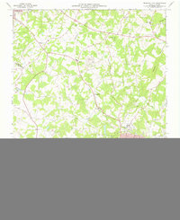
(17)- 1970 Map of Banoak, 1972 Print
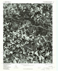
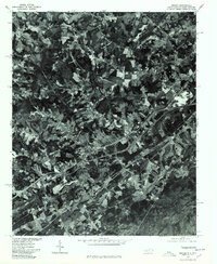
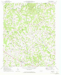 1970 Banoak1972 Print · USGSCatawba and Lincoln counties are shown here in the early seventies, a landscape of rolling Piedmont ridges and family farms. Researchers can trace local heritage through dozens of country landmarks like Cat Square, Hulls Crossroads, and the North Brook Sch No 3.
 - 1971 Map of Kings Mountain, 1973 Print
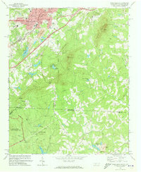 1971 Kings Mountain1973 Print · USGSThe foothills of the Carolinas come into focus during the early seventies as the industrial growth of Kings Mountain meets the preserved heights of the state and military parks. Researchers can trace the legacy of rural congregations and local landmarks like Pisgah Cem, Camp Rotary, and The Pinnacle.
 - 1971 Map of Boiling Springs South, 1973 Print
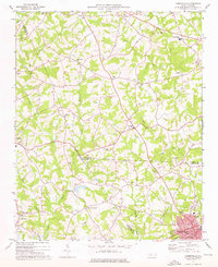
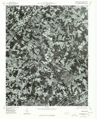
 1971 Boiling Springs South1973 Print · USGSThe Carolina borderlands come into focus in the early 1970s, as the Broad River carves through the rural landscape of Cleveland and Cherokee counties. Genealogists can trace family footprints at Gardner-Webb College, Mt Pleasant Ch, and Grassy Pond.3 unique versions available
 - 1971 Map of Blacksburg North, 1974 Print
 1971 Blacksburg North1974 Print · USGSThe Carolina borderlands come into focus in the early 1970s as the river-driven industry of the Piedmont matures. Researchers can trace family-named landmarks and rural centers like Patterson Springs, Old Falls Chapel, and the Stice Shoals Dam.
 - 1971 Map of Grover, 1974 Print
 1971 Grover1974 Print · USGSStraddling the Carolina state line in the early seventies, this region features a landscape of small rail-side settlements and rolling foothills. Genealogists and local historians can locate numerous country churches like St Peters Ch and Bethlehem Ch, as well as the Grover Cem.2 unique versions available
 - 1973 Map of Bessemer City, 1976 Print
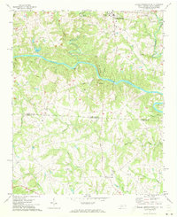
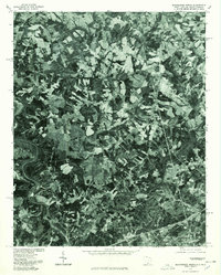
 1973 Bessemer City1976 Print · USGSGaston and Cleveland counties come into sharp focus in the early seventies as industrial centers and rural crossroads meet along the rail lines. Genealogists can locate family landmarks like Patterson Grove Ch, while researchers can trace the footprint of local industry at the Mines and Tailings Ponds.
 - 1973 Map of Cherryville, 1976 Print
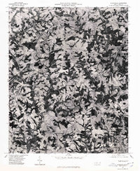
 1973 Cherryville1976 Print · USGSThe foothills of the North Carolina Piedmont come alive in this early 1970s survey of the tri-county border region. Genealogists and historians can trace the rural landscape through family-named landmarks like Beam Mill, local schools such as North Brook Sch No 2, and churches like Indian Creek Ch.
 - 1973 Map of Waco, 1976 Print
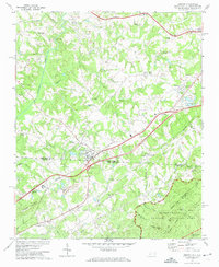
 1973 Waco1976 Print · USGSCleveland County and the Gaston County border are captured here in the early seventies as the local landscape transitioned toward modern recreation and industry. Researchers can find numerous country landmarks like Washington Sch, Hullender Cem, and the Seaboard Coast Line railroad.
 - 1975 Map of Cowpens NE, 1979 Print
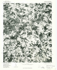 1975 Cowpens NE1979 Print · USGSThe borderlands of the Carolinas come into focus during the mid-seventies in this detailed orthophoto. Researchers can trace the rural layouts of Chesnee and Cliffside while identifying family farmsteads along the Broad River.
 - 1976 Map of Boiling Springs South, 1978 Print
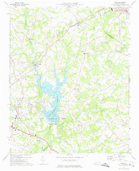
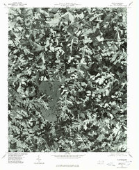
 1976 Boiling Springs South1978 Print · USGSThe North and South Carolina borderlands appear in striking photographic detail during the mid-seventies. Trace the rural landscape surrounding Boiling Springs and Grassy Pond, or follow the timbered banks of the Broad River.
 - 1976 Map of Cherryville, 1978 Print
 1976 Cherryville1978 Print · USGSCherryville and the surrounding Piedmont farmlands are captured in this mid-1970s aerial survey just as rural development began to accelerate. Researchers can identify precise property lines and land use patterns near Cherryville, Fallston, and Baker Crossroads.
 - 1976 Map of Shelby SE, 1978 Print
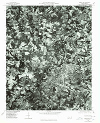 1976 Shelby SE1978 Print · USGSShelby was a hub of North Carolina textile production in the mid-seventies, surrounded by a changing Piedmont landscape. Trace the footprints of the Ora Mill and Dover Mill or follow the path of the Broad River.
 - 1976 Map of Kings Mountain, 1978 Print
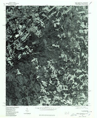 1976 Kings Mountain1978 Print · USGSKings Mountain and the surrounding Piedmont landscape are captured in mid-1970s aerial detail, showing the era's mining and forest clearings. Trace early residential footprints near Mountain View or study the industrial sites near Kings Mountain and Lake York.
 - 1976 Map of Grover, 1978 Print
 1976 Grover1978 Print · USGSGrover and the surrounding Carolina borderlands are captured from above in the mid-1970s, showing the intersection of rural life and highway growth. Researchers can trace the development of Grover and Mudpine or follow the path of Buffalo Creek.
 - 1976 Map of Bessemer City, 1978 Print
 1976 Bessemer City1978 Print · USGSGaston County enters the mid-seventies with a landscape defined by industrial growth and traditional farming. Researchers can trace the literal footprint of the era's textile and mining operations near Bessemer City, Kings Mountain, and Tryon.
 - 1976 Map of Blacksburg North, 1978 Print
 1976 Blacksburg North1978 Print · USGSThe borderlands of the Carolinas are captured in this mid-seventies aerial survey, showing the landscape as it transitioned toward modern development. Researchers can trace land use patterns around Blacksburg and locate historical structures near Earl and Patterson Springs.
 - 1976 Map of Waco, 1978 Print
 1976 Waco1978 Print · USGSCleveland County lands and the nascent shoreline of Kings Mountain Reservoir appear in this mid-seventies aerial survey. Researchers can trace the exact footprint of farms and woodlots surrounding Waco, Stubbs, and Oak Grove.
End of results
Showing maps 1-17 of 17
Top cities of Cleveland County
- Shelby historical maps
- Kings Mountain historical maps
- Boiling Springs historical maps
- Belwood historical maps
- Kingstown historical maps
- Grover historical maps
See more
Frequently asked questions
- What are the different types of historical maps available for Cleveland County?
- What is the oldest map of Cleveland County?
- Where can I purchase historical maps of Cleveland County for my home or office?
- Where can I download high-res historical maps of Cleveland County?
- Are there historical topographic maps available for Cleveland County?
- Is there historical aerial imagery available for Cleveland County?
- Where are historical maps of Cleveland County sourced from?