Old Maps of Belwood, North Carolina for Genealogy
Trace your family roots with 40 historic maps of Belwood. These high-res maps reveal old neighborhoods, homesites, landmarks, and streets — helping you uncover where your ancestors lived and how the area evolved over time.
- Explore historic neighborhoods: Identify where your relatives may have lived in the 1800s or 1900s.
- Compare maps over time: Trace the changes in streets, buildings, and landmarks for multi-generational research.
- Perfect for genealogy & ancestry research: Used by family historians and researchers to map out lineage and migration.
These maps are an incredible resource for exploring your personal connection to Belwood's past.
Belwood, NC maps
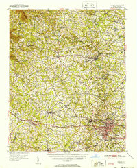
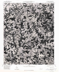
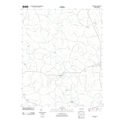
(40)- 1895 Map of Hickory
 1895 Hickory1895 Print · USGSThe North Carolina foothills come alive in the late nineteenth century as the rail lines reached Hickory and Newton. Genealogists can trace family roots through numerous country landmarks like Tuttle's Store, Emmanuel Church, and Cloninger's Mill.5 unique versions available
 - 1905 Map of Morganton, 1941 Print
 1905 Morganton1941 Print · USGSThe foothills and high peaks of the Blue Ridge come alive in the early twentieth century, centered on the growing towns of Morganton and Lenoir. Genealogists and historians can trace the early rail corridor of the Southern Railway and locate vanished landmarks like Arneys Store and Rutherford College.2 unique versions available
 - 1909 Map of Lincolnton, 1968 Print
 1909 Lincolnton1968 Print · USGSNorth Carolina's Piedmont region during the first decade of the twentieth century shows a landscape transitioning between agrarian roots and new rail-driven industry. Genealogists can trace family connections to rural landmarks like Bess Chapel, Double Chimney School, and the community of Laboratory.
 - 1911 Map of Lincolnton, 1944 Print
 1911 Lincolnton1944 Print · USGSLincoln and Gaston Counties at the peak of the rail era show a landscape of growing textile hubs and rural crossroads. Genealogists can trace family footprints through sites like Double Chimney School, Snapp Cem, and the industry at Beam Mill.
 - 1950 Map of Shelby, 1952 Print
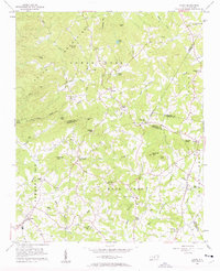
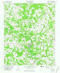
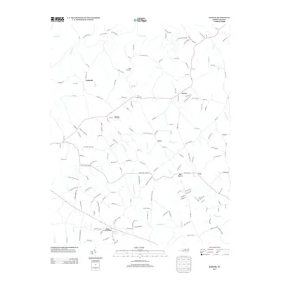
 1950 Shelby1952 Print · USGSCleveland County's textile and rail infrastructure is at its peak in the early fifties, centering on the regional hub of Shelby. Genealogists and local historians can trace family roots through numerous country landmarks like Ora Mill, Belwood High Sch, and Double Springs Ch.2 unique versions available
 - 1953 Map of Charlotte, 1968 Print
 1953 Charlotte1968 Print · USGSThe North Carolina Piedmont and South Carolina borderlands are shown in detail during a period of significant growth and reservoir development. Trace the rail corridors of the Southern Railway or find family roots in towns like China Grove, Misenheimer, and Lincolnton.3 unique versions available
 - 1954 Map of Charlotte
 1954 Charlotte1954 Print · USGSThe North Carolina Piedmont in the mid-1950s shows a region of rapid growth and industrial expansion centered around Charlotte. Trace the era's infrastructure through the Southern railroad lines and locate significant landmarks like the Charlotte Naval Ammunition Depot and Lake Norman.2 unique versions available
 - 1956 Map of Casar, 1958 Print
 1956 Casar1958 Print · USGSThe rural foothills of the South Mountains come alive in this mid-fifties study of the Cleveland and Lincoln county line. Genealogists and local historians can trace family land around Casar, Ramsey, and Shoups Ford or locate several country churches like Carpenters Grove Ch.2 unique versions available
 - 1960 Map of Charlotte
 1960 Charlotte1960 Print · USGSMid-century North Carolina and South Carolina meet in this 1960 survey of the Piedmont's industrial and textile heartland. Trace the growth of Charlotte alongside historic landmarks like Kings Mountain National Military Park and the Charlotte Naval Ammunition Depot.2 unique versions available
 - 1962 Map of Charlotte
 1962 Charlotte1962 Print · USGSThe North Carolina Piedmont in the early sixties showcases a landscape transformed by massive reservoirs and industrial growth. Researchers can trace the development of Lake Norman, locate the Charlotte Naval Ammunition Depot, or find family landmarks like Wesley Chapel and Brown & Norcott Mills.
 - 1970 Map of Banoak, 1972 Print
 1970 Banoak1972 Print · USGSCatawba and Lincoln counties are shown here in the early seventies, a landscape of rolling Piedmont ridges and family farms. Researchers can trace local heritage through dozens of country landmarks like Cat Square, Hulls Crossroads, and the North Brook Sch No 3.
 - 1973 Map of Cherryville, 1976 Print
 1973 Cherryville1976 Print · USGSThe foothills of the North Carolina Piedmont come alive in this early 1970s survey of the tri-county border region. Genealogists and historians can trace the rural landscape through family-named landmarks like Beam Mill, local schools such as North Brook Sch No 2, and churches like Indian Creek Ch.
 - 1976 Map of Cherryville, 1978 Print
 1976 Cherryville1978 Print · USGSCherryville and the surrounding Piedmont farmlands are captured in this mid-1970s aerial survey just as rural development began to accelerate. Researchers can identify precise property lines and land use patterns near Cherryville, Fallston, and Baker Crossroads.
 - 1982 Map of Lawndale, 1983 Print
 1982 Lawndale1983 Print · USGSCleveland County's rural heartland is captured here in the early eighties as a landscape of tight-knit communities and family-named landmarks. Genealogists can trace local roots through numerous sites like Rose Hill Cem, Burns High Sch, and the riverside settlement of Lawndale.
 - 1986 Map of Hickory
 1986 Hickory1986 Print · USGSWestern North Carolina's foothills are seen here in the mid-eighties as textile and furniture towns flourished along the river. Trace the development of Hickory and Lenoir or locate local landmarks like Burke Chapel, Saw Mills, and Rhodhiss Lake.3 unique versions available
 - 1986 Map of Gastonia
 1986 Gastonia1986 Print · USGSThe Carolina Piedmont in the mid-eighties shows a landscape shaped by Revolutionary War history and the textile industry. Trace the footprints of early battles at Kings Mountain National Military Park and locate depots along the Southern Railway in Shelby and Gastonia.
 - 1991 Map of Gastonia
 1991 Gastonia1991 Print · USGSThe Piedmont region along the North Carolina and South Carolina border shows a bustling industrial and transit corridor in the early nineties. Researchers can trace the sprawling footprints of Gastonia and Shelby or explore the grounds of Kings Mountain National Military Park and Lake Wylie.
 - 2002 Map of Banoak, 2003 Print
 2002 Banoak2003 Print · USGSThe rural Piedmont of Lincoln and Catawba counties is captured here at the turn of the millennium. Local historians can trace family roots through numerous sites like Cat Square, Hulls Crossroads, and the T Chapman Cem.
 - 2002 Map of Cherryville, 2003 Print
 2002 Cherryville2003 Print · USGSThe crossroads and creeks of the Gaston and Lincoln county borderlands are captured here at the start of the millennium. Genealogists can trace family footprints through numerous community landmarks, including Beam Mill, Bess Chapel, and Zion Hill Ch.
 - 2002 Map of Lawndale, 2003 Print
 2002 Lawndale2003 Print · USGSCleveland County at the dawn of the millennium shows a landscape of river-bend towns and rural crossroads. Researchers can trace local heritage through numerous landmarks like Lawndale, the Burns High Sch campus, and Palm Tree Cem.
 - 2010 Map of Cherryville, 2010 Print
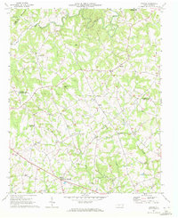
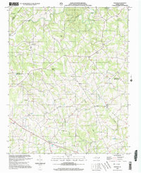
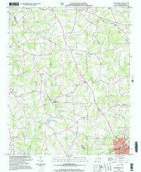
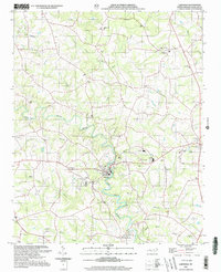
 2010 Cherryville2010 Print · USGSCovers Belwood, including Cherryville, Fallston, and other nearby areas
 - 2010 Map of Casar, 2010 Print
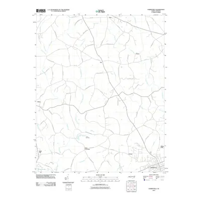
 2010 Casar2010 Print · USGSCovers Belwood, including Casar, Toluca, and other nearby areas
 - 2010 Map of Banoak, 2010 Print
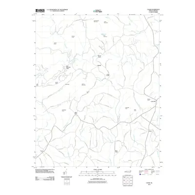
 2010 Banoak2010 Print · USGSCovers Belwood, including Vale, Henry, and other nearby areas
 - 2010 Map of Lawndale, 2010 Print
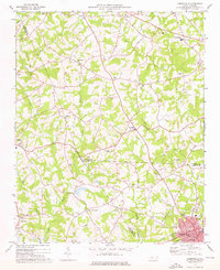
 2010 Lawndale2010 Print · USGSCovers Belwood, including Kingstown, Lawndale, and other nearby areas
 - 2013 Map of Banoak, 2013 Print
 2013 Banoak2013 Print · USGSCovers Belwood, including Vale, Henry, and other nearby areas
Showing maps 1-25 of 40
Top cities near Belwood
- Gastonia historical maps
- Hickory historical maps
- Shelby historical maps
- Morganton historical maps
- Newton historical maps
- Kings Mountain historical maps
See more
Top neighborhoods of Belwood
Frequently asked questions
- What are the different types of historical maps available for Belwood?
- What is the oldest map of Belwood?
- Where can I purchase historical maps of Belwood for my home or office?
- Where can I download high-res historical maps of Belwood?
- Are there historical topographic maps available for Belwood?
- Is there historical aerial imagery available for Belwood?
- Where are historical maps of Belwood sourced from?