Old Maps of Casar, North Carolina for Hiking & Exploration
Hike through history with 18 historic maps of Casar. Explore old trails, ghost towns, and forgotten backroads — perfect for outdoor adventurers and local explorers.
- Rediscover forgotten places: Map out old mining camps, roads, and footpaths that no longer exist on modern maps.
- Layer with modern tools: Combine with LiDAR or satellite views to plan hikes through historical terrain.
- Made for exploration: Popular among hikers, overlanders, and local history lovers.
Use these maps to find adventure and explore the hidden past of Casar.
Casar, NC maps
(18)- 1905 Map of Morganton, 1941 Print
 1905 Morganton1941 Print · USGSThe foothills and high peaks of the Blue Ridge come alive in the early twentieth century, centered on the growing towns of Morganton and Lenoir. Genealogists and historians can trace the early rail corridor of the Southern Railway and locate vanished landmarks like Arneys Store and Rutherford College.2 unique versions available
 - 1953 Map of Charlotte, 1968 Print
 1953 Charlotte1968 Print · USGSThe North Carolina Piedmont and South Carolina borderlands are shown in detail during a period of significant growth and reservoir development. Trace the rail corridors of the Southern Railway or find family roots in towns like China Grove, Misenheimer, and Lincolnton.3 unique versions available
 - 1954 Map of Charlotte
 1954 Charlotte1954 Print · USGSThe North Carolina Piedmont in the mid-1950s shows a region of rapid growth and industrial expansion centered around Charlotte. Trace the era's infrastructure through the Southern railroad lines and locate significant landmarks like the Charlotte Naval Ammunition Depot and Lake Norman.2 unique versions available
 - 1956 Map of Benn Knob, 1958 Print
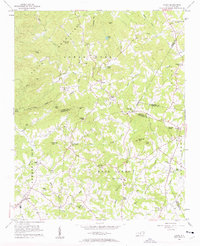
 1956 Benn Knob1958 Print · USGSThe upland borders of Cleveland and Rutherford counties appear here as they were in the mid-1950s, a landscape of high peaks and secluded valleys. Genealogists can trace family footprints at Mt Moriah Ch, Corinth Ch, and the small Moriah Sch.2 unique versions available
 - 1956 Map of Casar, 1958 Print
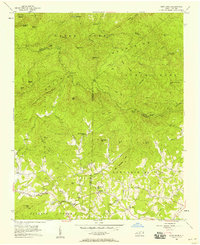
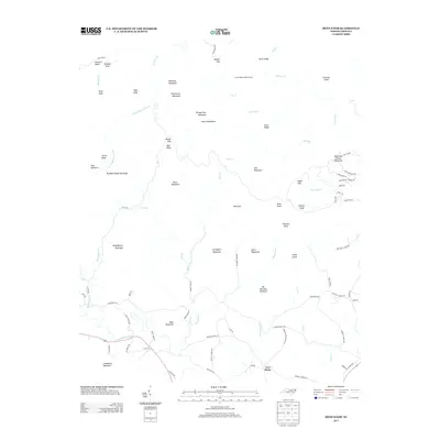
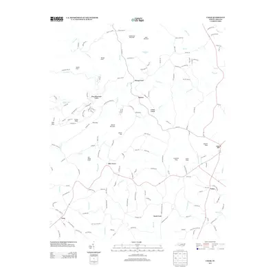
 1956 Casar1958 Print · USGSThe rural foothills of the South Mountains come alive in this mid-fifties study of the Cleveland and Lincoln county line. Genealogists and local historians can trace family land around Casar, Ramsey, and Shoups Ford or locate several country churches like Carpenters Grove Ch.2 unique versions available
 - 1960 Map of Charlotte
 1960 Charlotte1960 Print · USGSMid-century North Carolina and South Carolina meet in this 1960 survey of the Piedmont's industrial and textile heartland. Trace the growth of Charlotte alongside historic landmarks like Kings Mountain National Military Park and the Charlotte Naval Ammunition Depot.2 unique versions available
 - 1962 Map of Charlotte
 1962 Charlotte1962 Print · USGSThe North Carolina Piedmont in the early sixties showcases a landscape transformed by massive reservoirs and industrial growth. Researchers can trace the development of Lake Norman, locate the Charlotte Naval Ammunition Depot, or find family landmarks like Wesley Chapel and Brown & Norcott Mills.
 - 1986 Map of Hickory
 1986 Hickory1986 Print · USGSWestern North Carolina's foothills are seen here in the mid-eighties as textile and furniture towns flourished along the river. Trace the development of Hickory and Lenoir or locate local landmarks like Burke Chapel, Saw Mills, and Rhodhiss Lake.3 unique versions available
 - 2010 Map of Casar, 2010 Print
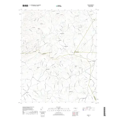
 2010 Casar2010 Print · USGSCovers Casar, including Belwood, Toluca, and other nearby areas
 - 2010 Map of Benn Knob, 2010 Print
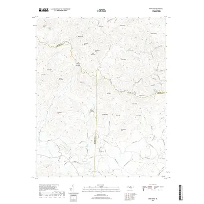
 2010 Benn Knob2010 Print · USGSCovers Casar, including New Home, Cleveland County, and other nearby areas
 - 2013 Map of Benn Knob, 2013 Print
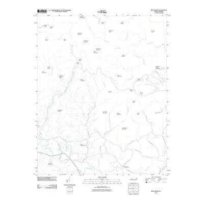
 2013 Benn Knob2013 Print · USGSCovers Casar, including New Home, Cleveland County, and other nearby areas
 - 2013 Map of Casar, 2013 Print
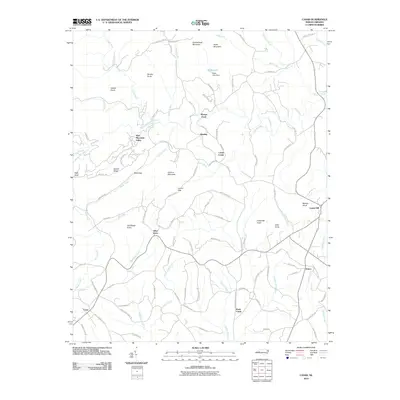
 2013 Casar2013 Print · USGSCovers Casar, including Belwood, Toluca, and other nearby areas
 - 2016 Map of Benn Knob, 2016 Print
 2016 Benn Knob2016 Print · USGSCovers Casar, including New Home, Cleveland County, and other nearby areas
 - 2016 Map of Casar, 2016 Print
 2016 Casar2016 Print · USGSCovers Casar, including Belwood, Toluca, and other nearby areas
 - 2019 Map of Benn Knob, 2019 Print
 2019 Benn Knob2019 Print · USGSCovers Casar, including New Home, Cleveland County, and other nearby areas
 - 2019 Map of Casar, 2019 Print
 2019 Casar2019 Print · USGSCovers Casar, including Belwood, Toluca, and other nearby areas
 - 2022 Map of Benn Knob, 2022 Print
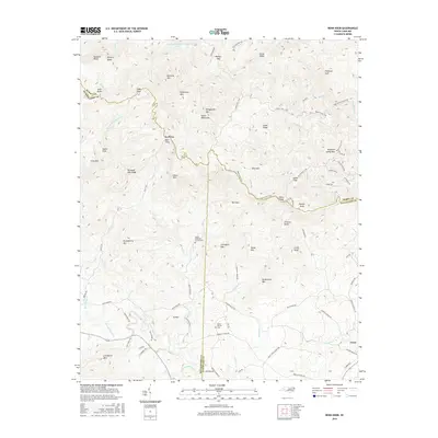
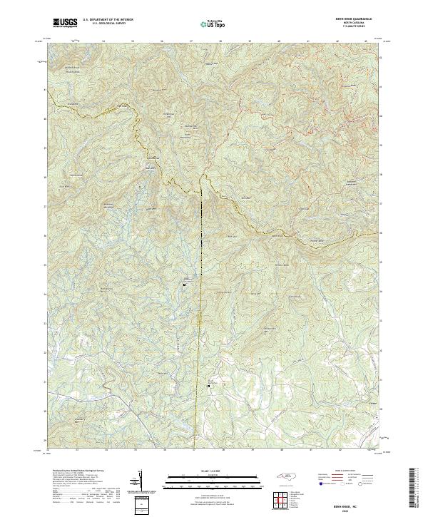 2022 Benn Knob2022 Print · USGSThe North Carolina highlands where Burke, Rutherford, and Cleveland counties meet are shown here in modern detail. Researchers can trace family history at the Mount Pleasant Church Cem or follow the path of the First Broad River near the settlement of Casar.
 - 2022 Map of Casar, 2022 Print
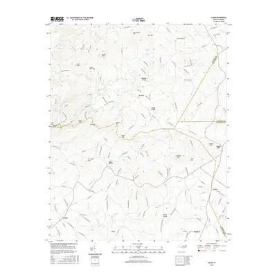
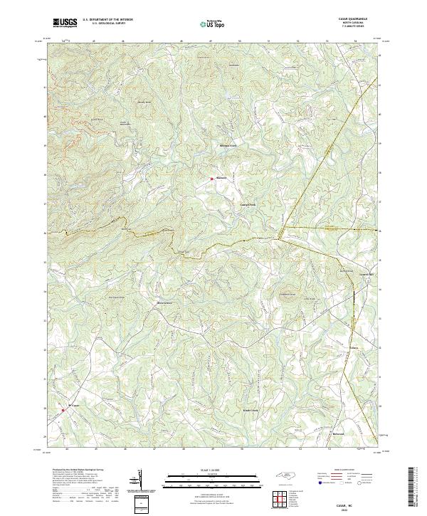 2022 Casar2022 Print · USGSThe foothills of the South Mountains come alive in this survey of the Cleveland and Burke County borderlands. Genealogists and hikers can trace old family routes and landmarks from the heights of Gilead Ridge down to the settlements at Casar and Belwood.
End of results
Showing maps 1-18 of 18
Top cities near Casar
- Hickory historical maps
- Shelby historical maps
- Morganton historical maps
- Forest City historical maps
- Cherryville historical maps
- Long View historical maps
See more
Frequently asked questions
- What are the different types of historical maps available for Casar?
- What is the oldest map of Casar?
- Where can I purchase historical maps of Casar for my home or office?
- Where can I download high-res historical maps of Casar?
- Are there historical topographic maps available for Casar?
- Is there historical aerial imagery available for Casar?
- Where are historical maps of Casar sourced from?