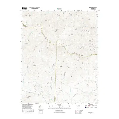
2016 Map of Benn Knob
USGS Topo · Published 2016About this map
The South Mountains dominate the landscape of this region where Burke, Cleveland, and Rutherford Counties converge. This terrain is defined by prominent peaks like Benn Knob and Huckleberry Mtn, forming a natural barrier between the watershed of the First Broad River to the south and the Jacob Fork drainage to the north. Settlement is concentrated along the lower elevations in the south, particularly near the town of Casar and the small community of Ball Alley. Local history is anchored by the Mount Moriah Cem and Mount Pleasant Church Cem, which serve as genealogical touchstones for the area's rural families. Notable trails such as the Upper Falls Trail and High Shoals Falls Trail wind through the northern reaches near Morganton Watershed Lake, highlighting the area's transition from agricultural foothills to steep upland ridges.
Find a feature on this map
96 named features on this map. Tap any name to fly to it.
Don’t see what you’re looking for? This feature index may not catch every label — zoom into the map to look around manually.
Map Details
Editions of this 2016 Benn Knob Map
This is the sole edition of this map. No revisions or reprints were ever made.
Other maps of this area

1905 · Morganton
USGS Topo · 1:125,000

1950 · Shelby
USGS Topo · 1:62,500

1953 · Charlotte
USGS Topo · 1:250,000

1954 · Charlotte
USGS Topo · 1:250,000

1956 · Valdese
USGS Topo · 1:24,000

1956 · Benn Knob
USGS Topo · 1:24,000

1956 · Casar
USGS Topo · 1:24,000

1956 · Morganton South
USGS Topo · 1:24,000

1960 · Charlotte
USGS Topo · 1:250,000

1962 · Charlotte
USGS Topo · 1:250,000