Old Maps of Pine Level, North Carolina for Metal Detecting
Plan your next treasure hunt with 12 historic maps of Pine Level. Find old homesites, ghost towns, trails, and gathering spots that may be lost to time — perfect for identifying promising metal detecting locations.
- Locate forgotten sites: Uncover places like long-lost settlements, abandoned rail lines, or gathering spots.
- Plan better hunts: Use map overlays combined with LiDAR or satellite views to narrow in on historically rich areas.
- Made for detectorists: Thousands of hobbyists use these maps to discover relics, coins, and hidden history.
Use these historic maps to boost your research and find new opportunities beneath the surface of Pine Level.
Pine Level, NC maps
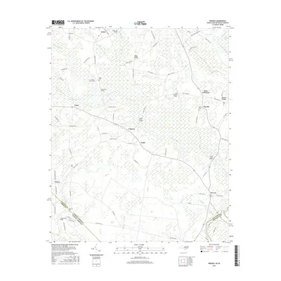
(12)- 1943 Map of Pireway
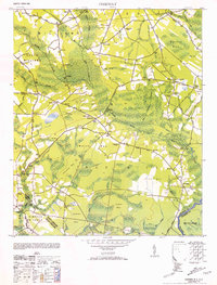
 1943 Pireway1943 Print · USGSCoastal Carolina and the borderlands near the Waccamaw River appear here during the wartime years, showing a landscape defined by expansive swamps and rural bay formations. Genealogists can trace family roots through the Dothans Sch, the Old Tram Road, and local landmarks like Dulah Mormon Church.
 - 1953 Map of Pireway
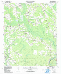
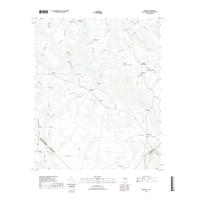
 1953 Pireway1953 Print · USGSCoastal North Carolina near the South Carolina border was a landscape of intricate wetlands and small farmsteads in the early 1950s. Genealogists and local researchers can trace the locations of Dothans Sch, the Riverside Ch, and the remote community of Bughill.2 unique versions available
 - 1953 Map of Florence, 1964 Print
 1953 Florence1964 Print · USGSThe Carolina borderlands in the mid-fifties were a landscape of vast river swamps and rising rail towns. Trace the legacy of the Seaboard Air Line through Florence or explore the wetlands surrounding Lake Waccamaw and the Green Swamp.3 unique versions available
 - 1954 Map of Florence
 1954 Florence1954 Print · USGSThe Carolinas borderlands come alive in the early fifties, showing the vital rail-and-river networks of the coastal plain. Genealogists can trace family footprints across the Green Swamp or through settlements like Red Springs, Chadbourn, and McColl.
 - 1986 Map of Whiteville
 1986 Whiteville1986 Print · USGSSoutheastern North Carolina and the South Carolina borderlands are captured here in the mid-1980s as a landscape of vast swamps and rail towns. Researchers can trace historic rail routes through Chadbourn, locate the namesake Lake Waccamaw, and explore family-named sites like Peacocks.
 - 1990 Map of Whiteville
 1990 Whiteville1990 Print · USGSSoutheastern North Carolina and the South Carolina borderlands appear in the late twentieth century, showing a landscape of river-swamps and tobacco towns. Researchers can trace family history through sites like Mount Olive Ch, the Seaboard Coast Line RR, and rural centers like Tabor City.
 - 1990 Map of Pireway, 1991 Print
 1990 Pireway1991 Print · USGSCoastal plain wetlands and small rural settlements define this borderland region in the early nineties. Researchers can trace family history through numerous landmarks like Butler Crossroads, Nakina High Sch, and the Marlowe Cem near the Waccamaw River.
 - 2011 Map of Pireway, 2011 Print
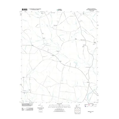 2011 Pireway2011 Print · USGSCovers Pine Level, including Dulah, Bug Hill, and other nearby areas
 - 2013 Map of Pireway, 2013 Print
 2013 Pireway2013 Print · USGSCovers Pine Level, including Dulah, Bug Hill, and other nearby areas
 - 2016 Map of Pireway, 2016 Print
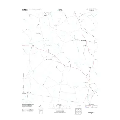
 2016 Pireway2016 Print · USGSCovers Pine Level, including Dulah, Bug Hill, and other nearby areas
 - 2019 Map of Pireway, 2019 Print
 2019 Pireway2019 Print · USGSCovers Pine Level, including Dulah, Bug Hill, and other nearby areas
 - 2022 Map of Pireway, 2022 Print
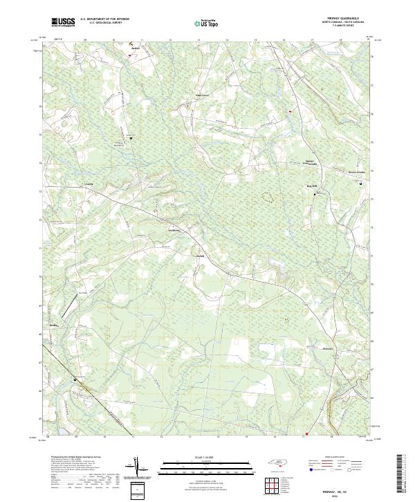 2022 Pireway2022 Print · USGSIn the early twenty-first century, this coastal plain landscape on the Carolina border remains defined by its unique wetlands and rural hamlets. Researchers can trace family history through sites like Bethel Cem and Marlowe Cem or explore the geography of Jenrette Bay and Pireway.
End of results
Showing maps 1-12 of 12
Top cities near Pine Level
- Whiteville historical maps
- Tabor City historical maps
- Loris historical maps
- Sunset Beach historical maps
- Chadbourn historical maps
- Carolina Shores historical maps
See more
Frequently asked questions
- What are the different types of historical maps available for Pine Level?
- What is the oldest map of Pine Level?
- Where can I purchase historical maps of Pine Level for my home or office?
- Where can I download high-res historical maps of Pine Level?
- Are there historical topographic maps available for Pine Level?
- Is there historical aerial imagery available for Pine Level?
- Where are historical maps of Pine Level sourced from?