
1943 Map of Pireway
USGS Topo · Published 1943About this map
The Waccamaw River corridor along the North Carolina-South Carolina border defines this 1943 landscape, characterized by an intricate network of wetlands known as bays. These geological features, including Marsh Bay, Briery Bay, and Jenrette Bay, shaped the development of local crossroads like Butler Crossroads and small settlements such as Bug Hill. The map reveals a community deeply rooted in its religious and educational institutions, with sites like Dulah Mormon Church, Old Zion Ch, and Dothans Sch serving scattered rural households.
Find a feature on this map
61 named features on this map. Tap any name to fly to it.
Don’t see what you’re looking for? This feature index may not catch every label — zoom into the map to look around manually.
Map Details
Editions of this 1943 Pireway Map
This is the sole edition of this map. No revisions or reprints were ever made.
Other maps of this area

1937 · Nixonville
USGS Topo · 1:48,000

1942 · Nixonville
USGS Topo · 1:62,500

1943 · Nakina
USGS Topo · 1:24,000

1943 · Calabash
USGS Topo · 1:31,680

1943 · Freeland
USGS Topo · 1:24,000

1944 · Longs
USGS Topo · 1:31,680

1949 · Georgetown
USGS Topo · 1:250,000

1953 · Longs
USGS Topo · 1:24,000
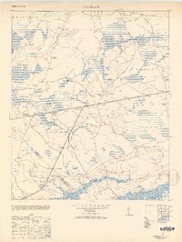
1953 · Calabash
USGS Topo · 1:24,000
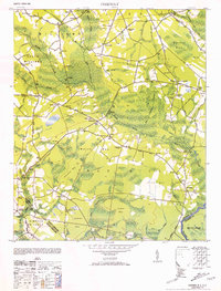
1953 · Pireway
USGS Topo · 1:24,000