Old Maps of Wootens Crossroads, North Carolina for Academic Research
Study the evolution of Wootens Crossroads with 12 high-resolution historic maps. Whether you're teaching, researching, or modeling changes in land use, these maps provide essential visual documentation of urban, environmental, and geographic change.
- Analyze long-term change: Track patterns in development, transportation, and natural features.
- Ideal for environmental or urban studies: Support academic projects with primary historical map data.
- Use in the classroom or lab: Educators and researchers rely on these maps to bring historical context to life.
These maps are a powerful tool for teaching, research, and visualizing how Wootens Crossroads has changed over the decades.
Wootens Crossroads, NC maps
(12)- 1953 Map of Florence, 1964 Print
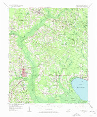
 1953 Florence1964 Print · USGSThe Carolina borderlands in the mid-fifties were a landscape of vast river swamps and rising rail towns. Trace the legacy of the Seaboard Air Line through Florence or explore the wetlands surrounding Lake Waccamaw and the Green Swamp.3 unique versions available
 - 1954 Map of Florence
 1954 Florence1954 Print · USGSThe Carolinas borderlands come alive in the early fifties, showing the vital rail-and-river networks of the coastal plain. Genealogists can trace family footprints across the Green Swamp or through settlements like Red Springs, Chadbourn, and McColl.
 - 1955 Map of Whiteville
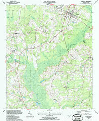
 1955 Whiteville1955 Print · USGSColumbus County and the town of Whiteville are shown here in the mid-fifties, dominated by timber-rich swamps and the railroads that serviced them. Researchers can trace the layout of Porterville, Wananish, and rural landmarks like Richardson Millpond.2 unique versions available
 - 1986 Map of Whiteville
 1986 Whiteville1986 Print · USGSSoutheastern North Carolina and the South Carolina borderlands are captured here in the mid-1980s as a landscape of vast swamps and rail towns. Researchers can trace historic rail routes through Chadbourn, locate the namesake Lake Waccamaw, and explore family-named sites like Peacocks.
 - 1987 Map of Clarkton
 1987 Clarkton1987 Print · USGSThe borderlands of Bladen and Columbus Counties come into focus during the late 1980s, centered on the railroad town of Clarkton. Genealogists and historians can trace numerous rural congregations and landmarks, from Graham Tabernacle and St James Ch to the small community at Wootens Crossroad.
 - 1990 Map of Whiteville
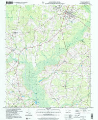
 1990 Whiteville1990 Print · USGSSoutheastern North Carolina and the South Carolina borderlands appear in the late twentieth century, showing a landscape of river-swamps and tobacco towns. Researchers can trace family history through sites like Mount Olive Ch, the Seaboard Coast Line RR, and rural centers like Tabor City.
 - 2002 Map of Clarkton
 2002 Clarkton2002 Print · USGSCentered on the railroad town of Clarkton at the start of the twenty-first century, this survey covers the wet lowlands of Bladen and Columbus Counties. Researchers can trace numerous family-centered landmarks and rural congregations like Graham Tabernacle, St James Ch, and Wootens Crossroads.
 - 2010 Map of Clarkton, 2010 Print
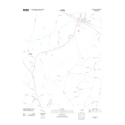
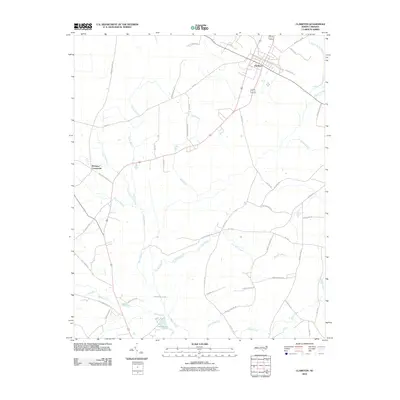 2010 Clarkton2010 Print · USGSCovers Wootens Crossroads, including Clarkton, Columbus County, and other nearby areas
 - 2013 Map of Clarkton, 2013 Print
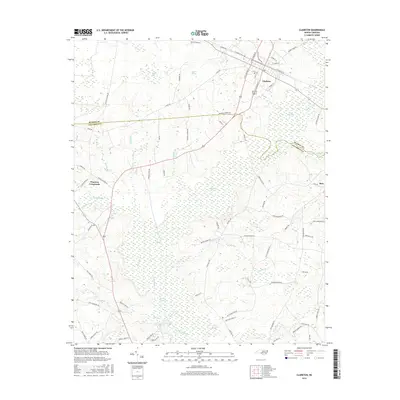
 2013 Clarkton2013 Print · USGSCovers Wootens Crossroads, including Clarkton, Columbus County, and other nearby areas
 - 2016 Map of Clarkton, 2016 Print
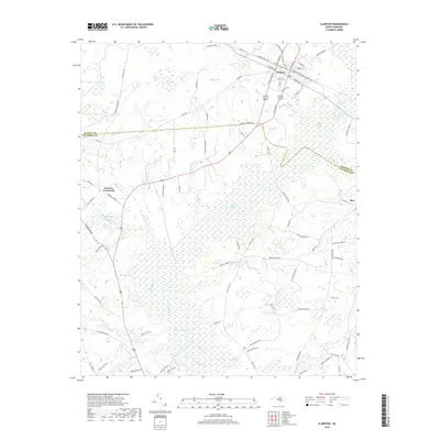
 2016 Clarkton2016 Print · USGSCovers Wootens Crossroads, including Clarkton, Columbus County, and other nearby areas
 - 2019 Map of Clarkton, 2019 Print
 2019 Clarkton2019 Print · USGSCovers Wootens Crossroads, including Clarkton, Columbus County, and other nearby areas
 - 2022 Map of Clarkton, 2022 Print
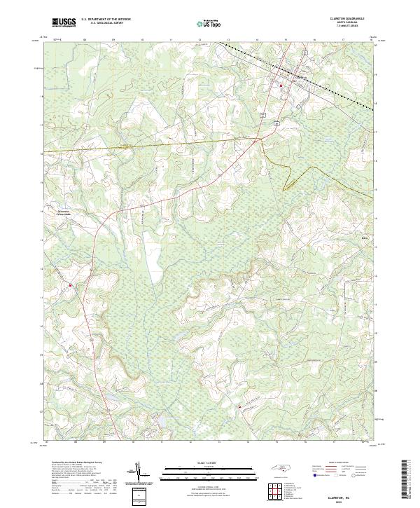 2022 Clarkton2022 Print · USGSCoastal Plain wetlands and small-town rail grids define this Bladen County landscape in the early 2020s. Researchers can trace family sites from Clarkton down to Wootens Crossroads and the Marley Cem, or explore the reaches of White Marsh and Brights Lake.
End of results
Showing maps 1-12 of 12
Top cities near Wootens Crossroads
- Lumberton historical maps
- Whiteville historical maps
- Elizabethtown historical maps
- Chadbourn historical maps
- Bladenboro historical maps
- Lake Waccamaw historical maps
See more
Frequently asked questions
- What are the different types of historical maps available for Wootens Crossroads?
- What is the oldest map of Wootens Crossroads?
- Where can I purchase historical maps of Wootens Crossroads for my home or office?
- Where can I download high-res historical maps of Wootens Crossroads?
- Are there historical topographic maps available for Wootens Crossroads?
- Is there historical aerial imagery available for Wootens Crossroads?
- Where are historical maps of Wootens Crossroads sourced from?