Old Maps of Eastover, North Carolina for Academic Research
Study the evolution of Eastover with 36 high-resolution historic maps. Whether you're teaching, researching, or modeling changes in land use, these maps provide essential visual documentation of urban, environmental, and geographic change.
- Analyze long-term change: Track patterns in development, transportation, and natural features.
- Ideal for environmental or urban studies: Support academic projects with primary historical map data.
- Use in the classroom or lab: Educators and researchers rely on these maps to bring historical context to life.
These maps are a powerful tool for teaching, research, and visualizing how Eastover has changed over the decades.
Eastover, NC maps
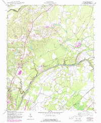
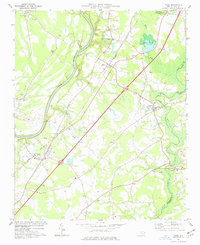
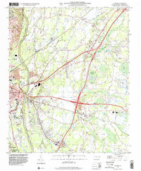
(36)- 1948 Map of Fayetteville, 1954 Print
 1948 Fayetteville1954 Print · USGSFayetteville and its sprawling military neighbor are caught here just after the war, showing the area's mix of urban growth and rural heritage. Genealogists can locate family landmarks like Bonnie Doone and Magnolia Ch, or trace the rails of the Atlantic Coast Line.
 - 1948 Map of Slocomb, 1982 Print
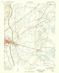
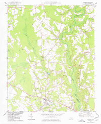
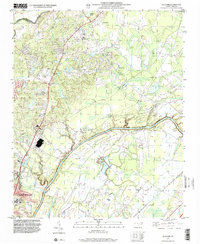
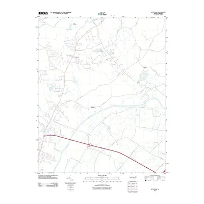
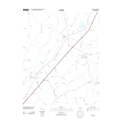
 1948 Slocomb1982 Print · USGSCumberland County's river valleys are captured here in the late forties, showing a landscape of small churches and rail lines. Trace family roots at Palestine Church or the Long Hill School, and follow the old routes of the Norfolk Southern.2 unique versions available
 - 1949 Map of Vander
 1949 Vander1949 Print · USGSCumberland County just after the war reveals a landscape of rural schoolhouses and busy rail junctions east of the Cape Fear River. Researchers can locate family landmarks like Armstrong School, Lebanon Missionary Church, and the timber works at Vander.2 unique versions available
 - 1950 Map of Slocomb
 1950 Slocomb1950 Print · USGSCumberland County at the dawn of the 1950s shows a landscape of river-bend settlements and rail-line industry. Researchers can trace the roots of small communities like Slocomb and Carlos, or locate rural landmarks like Palestine Church and the Brick Kilns.2 unique versions available
 - 1953 Map of Raleigh, 1965 Print
 1953 Raleigh1965 Print · USGSCentral North Carolina in the early sixties shows a landscape of growing towns and military hubs before the full expansion of the interstate system. Genealogists can trace family footprints across the Piedmont through Wake Forest, Siler City, and the large Fort Bragg Military Reservation.4 unique versions available
 - 1954 Map of Raleigh
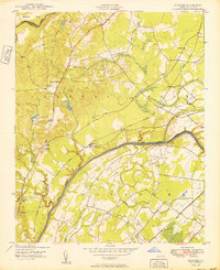
 1954 Raleigh1954 Print · USGSThe North Carolina Piedmont and Sandhills are captured in the mid-fifties during a period of steady regional growth. Genealogists and historians can trace the development of towns like Siler City or locate landmarks such as Falls of Neuse and Camp Mackall.
 - 1957 Map of Vander, 1960 Print
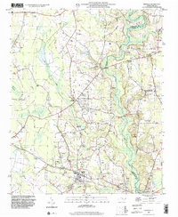
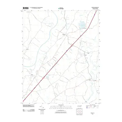
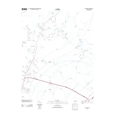
 1957 Vander1960 Print · USGSCumberland County eastward from the river during the late fifties reveals a landscape of growing suburbs and traditional crossroads. Genealogists can locate family landmarks like Locks Creek Ch, Armstrong Sch, and the community of Eastover.4 unique versions available
 - 1957 Map of Fayetteville, 1961 Print
 1957 Fayetteville1961 Print · USGSThe Cape Fear River valley and Fayetteville's growing suburbs are captured here in the late fifties, showing the expanding footprint of the Fort Bragg Military Reservation. Genealogists can trace early neighborhood development and rural landmarks like Lakedale, Manchester, and Central High Sch.2 unique versions available
 - 1974 Map of Wade, 1977 Print
 1974 Wade1977 Print · USGSCumberland County communities like Wade and Godwin are shown in the mid-1970s as they balanced rural tradition with expanding transit corridors. Genealogists and local historians can trace family locations through numerous rural landmarks, including Westminster Cem, Spring Hill Ch, and the Averasboro Battleground Monument.2 unique versions available
 - 1974 Map of Stedman, 1977 Print
 1974 Stedman1977 Print · USGSCumberland County’s coastal plain landscape is captured here in the mid-1970s, as rural communities thrived along the South River and the rail line. Researchers can trace family roots through numerous sites like Bethany Crossroads, Fisher Cem, and Magnolia Ch.2 unique versions available
 - 1976 Map of Vander, 1978 Print
 1976 Vander1978 Print · USGSFayetteville and its eastern outskirts are captured in the mid-seventies, showing the intersection of urban growth and rural landscapes. Researchers can trace land use patterns and property boundaries near Fayetteville and the settlement of Vander.
 - 1976 Map of Slocomb, 1978 Print
 1976 Slocomb1978 Print · USGSCumberland County rural life is captured in the mid-seventies just as the landscape remained defined by timber and traditional farming. Genealogists and land researchers can pinpoint homesteads and property boundaries near the Cape Fear River, Slocomb, and Lane.
 - 1986 Map of Fayetteville
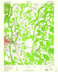
 1986 Fayetteville1986 Print · USGSThe North Carolina coastal plain appears in the mid-1980s as a bustling corridor of military installations and historic tobacco towns. Genealogists and historians can trace the footprints of Fort Bragg Military Reservation, Campbell University, and the rail lines of the Seaboard Coast Line RR.2 unique versions available
 - 1997 Map of Stedman, 2000 Print
 1997 Stedman2000 Print · USGSCoastal plain settlements east of Fayetteville thrived amidst the wetlands and creeks of the North Carolina interior in the late nineties. Researchers can trace family history through numerous landmarks like China Grove Ch, Fisher Cem, and the rural crossroads of Stedman.
 - 1997 Map of Vander, 2000 Print
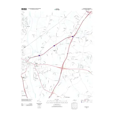
 1997 Vander2000 Print · USGSThe eastern outskirts of Fayetteville and the community of Vander are shown in the late 1990s as modern highway interchanges began to reshape the landscape. Local historians can trace established landmarks like Cape Fear High School, St Lukes Ch, and the many cemeteries dotting the rural areas of Eastover and Beard.
 - 1997 Map of Slocomb, 2000 Print
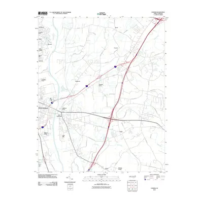
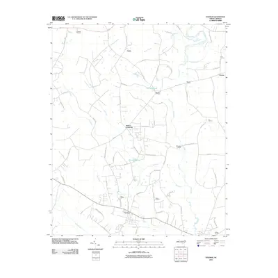
 1997 Slocomb2000 Print · USGSCumberland County sits at a geographic crossroads in the late nineties as the outskirts of North Carolina's growing hubs meet the river. Researchers can trace rural landmarks including Long Hill Sch, the Race Track, and the small settlement of Slocomb.
 - 2010 Map of Vander, 2010 Print
 2010 Vander2010 Print · USGSCovers Eastover, including Fayetteville, Heritage Heights, and other nearby areas
 - 2010 Map of Slocomb, 2010 Print
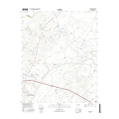
 2010 Slocomb2010 Print · USGSCovers Eastover, including Fayetteville, Wade, and other nearby areas
 - 2010 Map of Wade, 2010 Print
 2010 Wade2010 Print · USGSCovers Eastover, including Wade, Falcon, and other nearby areas
 - 2010 Map of Stedman, 2010 Print
 2010 Stedman2010 Print · USGSCovers Eastover, including Stedman, Autryville, and other nearby areas
 - 2013 Map of Stedman, 2013 Print
 2013 Stedman2013 Print · USGSCovers Eastover, including Stedman, Autryville, and other nearby areas
 - 2013 Map of Wade, 2013 Print
 2013 Wade2013 Print · USGSCovers Eastover, including Wade, Falcon, and other nearby areas
 - 2013 Map of Slocomb, 2013 Print
 2013 Slocomb2013 Print · USGSCovers Eastover, including Fayetteville, Wade, and other nearby areas
 - 2013 Map of Vander, 2013 Print
 2013 Vander2013 Print · USGSCovers Eastover, including Fayetteville, Heritage Heights, and other nearby areas
 - 2016 Map of Slocomb, 2016 Print
 2016 Slocomb2016 Print · USGSCovers Eastover, including Fayetteville, Wade, and other nearby areas
Showing maps 1-25 of 36
Top cities near Eastover
- Fayetteville historical maps
- Hope Mills historical maps
- Dunn historical maps
- Spring Lake historical maps
- Erwin historical maps
- Stedman historical maps
See more
Top neighborhoods of Eastover
Frequently asked questions
- What are the different types of historical maps available for Eastover?
- What is the oldest map of Eastover?
- Where can I purchase historical maps of Eastover for my home or office?
- Where can I download high-res historical maps of Eastover?
- Are there historical topographic maps available for Eastover?
- Is there historical aerial imagery available for Eastover?
- Where are historical maps of Eastover sourced from?