2000s (21st Century) Maps of Linden, North Carolina
Explore 10 historic maps of Linden from the 2000s (21st Century). These maps offer a rare glimpse into what life looked like during the 2000s — showing old roads, neighborhoods, homes, and landmarks that have changed or disappeared over time.
Whether you're researching your family's past, planning a metal detecting trip, or studying how Linden's landscape evolved across the 2000s, these high-resolution maps are a powerful tool for exploring the history of this region.
- Focus on a specific era: All maps on this page are from the 2000s, giving you a focused view of this time period.
- See what’s changed: Compare century-old streets, trails, and buildings to today's modern landscape using overlays and satellite layers.
- Research with precision: Use these maps for genealogy, historical research, land use analysis, or educational projects.
- View, download, or print: Maps are fully viewable online in high resolution, and can be downloaded or printed for your own records.
Start exploring Linden's history through authentic maps from the 2000s. This is your window into the past.
Linden, NC maps
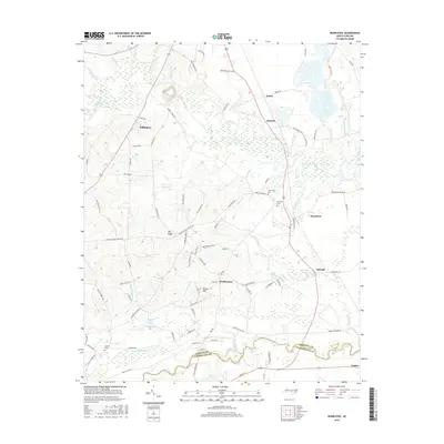
(10)- 2010 Map of Bunnlevel, 2010 Print
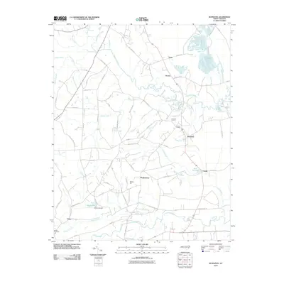 2010 Bunnlevel2010 Print · USGSCovers Linden, including Lillington, Fonville, and other nearby areas
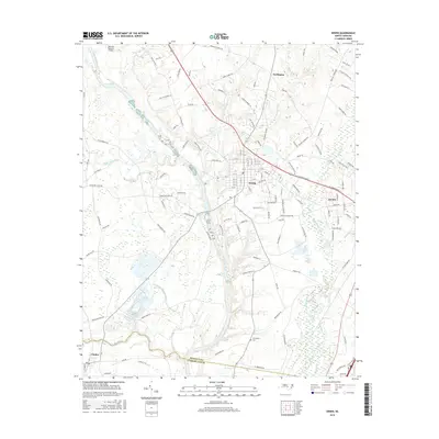
 - 2010 Map of Erwin, 2010 Print
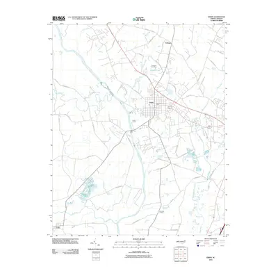 2010 Erwin2010 Print · USGSCovers Linden, including Dunn, Erwin, and other nearby areas
 - 2013 Map of Bunnlevel, 2013 Print
 2013 Bunnlevel2013 Print · USGSCovers Linden, including Lillington, Fonville, and other nearby areas
 - 2013 Map of Erwin, 2013 Print
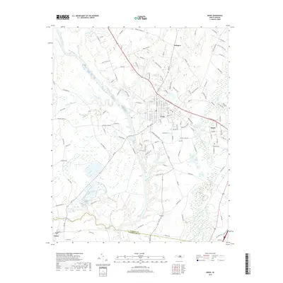
 2013 Erwin2013 Print · USGSCovers Linden, including Dunn, Erwin, and other nearby areas
 - 2016 Map of Bunnlevel, 2016 Print
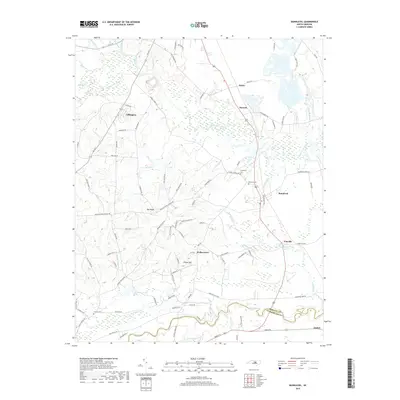
 2016 Bunnlevel2016 Print · USGSCovers Linden, including Lillington, Fonville, and other nearby areas
 - 2016 Map of Erwin, 2016 Print
 2016 Erwin2016 Print · USGSCovers Linden, including Dunn, Erwin, and other nearby areas
 - 2019 Map of Erwin, 2019 Print
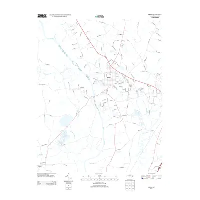
 2019 Erwin2019 Print · USGSCovers Linden, including Dunn, Erwin, and other nearby areas
 - 2019 Map of Bunnlevel, 2019 Print
 2019 Bunnlevel2019 Print · USGSCovers Linden, including Lillington, Fonville, and other nearby areas
 - 2022 Map of Erwin, 2022 Print
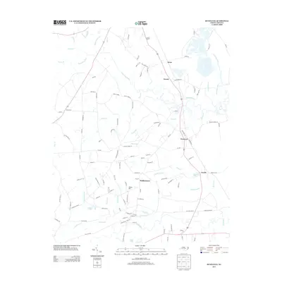
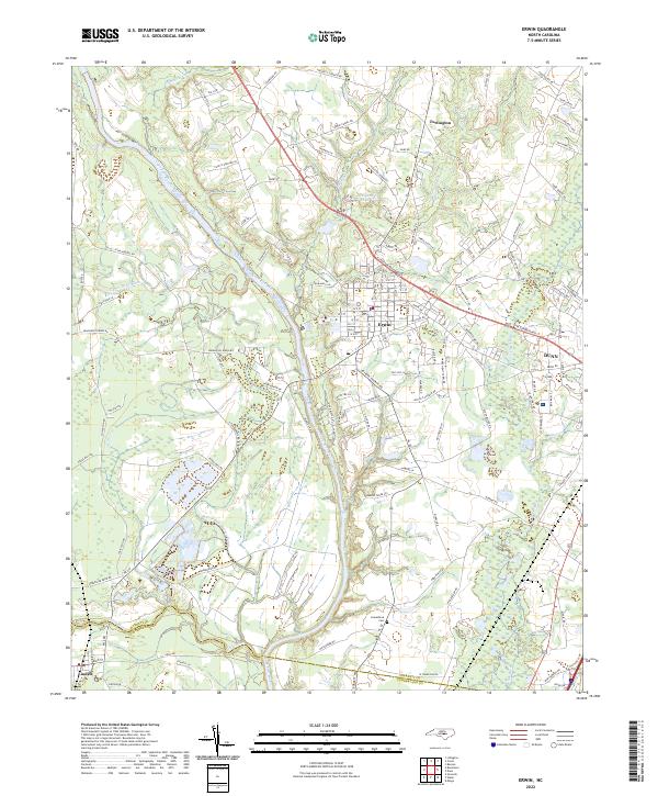 2022 Erwin2022 Print · USGSNorth Carolina’s Harnett County is captured in the early 2020s, centered on the historic river town of Erwin and the western edge of Dunn. Researchers can trace old family lines near Averasboro Cemetery and follow the paths of the Cape Fear River and Little River.
 - 2022 Map of Bunnlevel, 2022 Print
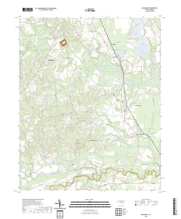 2022 Bunnlevel2022 Print · USGSHarnett and Cumberland Counties are captured in this contemporary survey, showing the rural communities between the Cape Fear valley forks. Genealogists can locate family landmarks like Friendship Cem or trace the lands near Byrd Mill Pond and Walkertown.
End of results
Showing maps 1-10 of 10
Top cities near Linden
- Fayetteville historical maps
- Dunn historical maps
- Spring Lake historical maps
- Erwin historical maps
- Benson historical maps
- Lillington historical maps
See more
Frequently asked questions
- What are the different types of historical maps available for Linden?
- What is the oldest map of Linden?
- Where can I purchase historical maps of Linden for my home or office?
- Where can I download high-res historical maps of Linden?
- Are there historical topographic maps available for Linden?
- Is there historical aerial imagery available for Linden?
- Where are historical maps of Linden sourced from?