Old Maps of Buxton Landing, North Carolina for Metal Detecting
Plan your next treasure hunt with 11 historic maps of Buxton Landing. Find old homesites, ghost towns, trails, and gathering spots that may be lost to time — perfect for identifying promising metal detecting locations.
- Locate forgotten sites: Uncover places like long-lost settlements, abandoned rail lines, or gathering spots.
- Plan better hunts: Use map overlays combined with LiDAR or satellite views to narrow in on historically rich areas.
- Made for detectorists: Thousands of hobbyists use these maps to discover relics, coins, and hidden history.
Use these historic maps to boost your research and find new opportunities beneath the surface of Buxton Landing.
Buxton Landing, NC maps
(11)- 1948 Map of Buxton, 1968 Print
 1948 Buxton1968 Print · USGSHatteras Island is captured here in the late 1940s, showing the delicate balance of the Outer Banks before the era of major tourism. Trace the history of maritime navigation through the abandoned lighthouse and the village of Avon.4 unique versions available
 - 1950 Map of Buxton
 1950 Buxton1950 Print · USGSThe Outer Banks come alive in this mid-century survey of Hatteras Island as it appeared before modern development. You can trace early maritime history through landmarks like the Cape Hatteras Lighthouse and the small coastal village of Avon.2 unique versions available
 - 1955 Map of Wanchese
 1955 Wanchese1955 Print · USGSThe Outer Banks and Dare County mainland are captured in the mid-1950s, showing the maritime isolation and early highway connections of the coast. Researchers can locate coastal landmarks like the Cape Hatteras Light, the remote settlement of Buffalo City, and fishing villages from Rodanthe to Ocracoke.
 - 1957 Map of Manteo, 1967 Print
 1957 Manteo1967 Print · USGSThe Outer Banks and Albemarle Sound are captured in the late fifties as the national seashore and wildlife refuges were newly established. Trace the coastal villages from Manteo to Hatteras, and locate landmarks like the Cape Hatteras Lighthouse and Billy Mitchell field.3 unique versions available
 - 1960 Map of Manteo
 1960 Manteo1960 Print · USGSThe Outer Banks and Dare County in the early sixties reveal a landscape defined by maritime tradition and shifting sands. Genealogists can trace family lines through villages like Rodanthe and Buxton or locate landmarks like Fort Raleigh and the Cape Hatteras Lighthouse.
 - 1985 Map of Cape Hatteras
 1985 Cape Hatteras1985 Print · USGSThe Outer Banks are captured in the mid-eighties as a thin ribbon of sand between the sound and the sea. Trace the coastal communities of Ocracoke and Buxton, the Ferry route across Hatteras Inlet, and the Cape Hatteras Lighthouse.2 unique versions available
 - 2011 Map of Buxton, 2011 Print
 2011 Buxton2011 Print · USGSThe Outer Banks come into sharp focus in this early 21st-century survey of the fragile barrier islands. Trace the coastal roads and maritime landmarks of the Cape, from the Cape Hatteras Lighthouse and Buxton Landing to the points of Avon and Brigand Bay.
 - 2013 Map of Buxton, 2013 Print
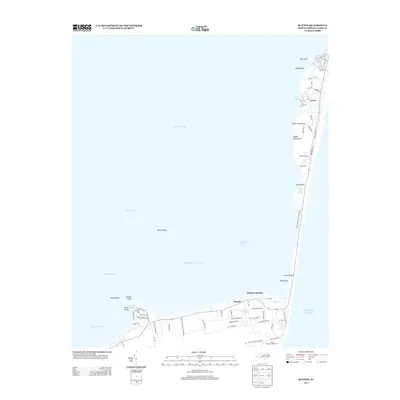 2013 Buxton2013 Print · USGSHatteras Island and the Outer Banks are captured here in the early 2000s, showcasing the narrow stretch of land between the ocean and Pamlico Sound. Researchers can trace the coastal layout of Avon and Buxton or locate landmarks like the Hatteras Lighthouse and Brigand Bay.
 - 2016 Map of Buxton, 2016 Print
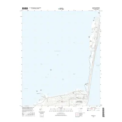 2016 Buxton2016 Print · USGSHatteras Island and the southern Outer Banks are captured here in the mid-2010s, showing the narrow landform between the ocean and sound. Researchers can trace the layout of Avon and Buxton or locate coastal landmarks like Canadian Hole and Brigand Bay.
 - 2019 Map of Buxton, 2019 Print
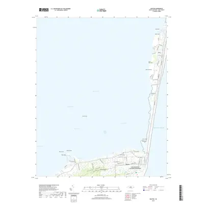 2019 Buxton2019 Print · USGSCoastal North Carolina's barrier islands are captured in this recent survey, showcasing the settlements of Avon and Buxton. Researchers can trace local development alongside natural landmarks like Black Hammock, Devil Shoals, and the Cape Hatteras National Seashore.
 - 2022 Map of Buxton, 2022 Print
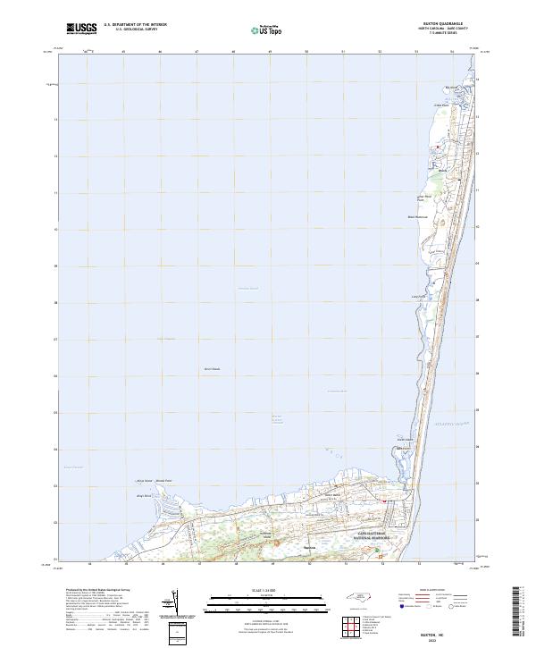 2022 Buxton2022 Print · USGSThe Outer Banks at the start of the 2020s shows the coastal communities of Buxton and Avon flanked by the sea. Trace the island's geography from the marshes of Jeanette Sedge to the historic corridors of Lighthouse Road.
End of results
Showing maps 1-11 of 11
Top cities near Buxton Landing
Frequently asked questions
- What are the different types of historical maps available for Buxton Landing?
- What is the oldest map of Buxton Landing?
- Where can I purchase historical maps of Buxton Landing for my home or office?
- Where can I download high-res historical maps of Buxton Landing?
- Are there historical topographic maps available for Buxton Landing?
- Is there historical aerial imagery available for Buxton Landing?
- Where are historical maps of Buxton Landing sourced from?