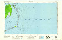
1960 Map of Manteo
USGS Topo · Published 1960About this map
Roanoke Island and the thin ribbons of the Outer Banks dominate this 1960 coastal study, illustrating the delicate geography of the North Carolina shore. The settlement at Manteo and the historic site of Fort Raleigh are central landmarks, while the barrier islands stretch from Nags Head down to the curve of Cape Hatteras. This era shows the developed stretches of Bodie Island and the preserved expanse of the Pea Island National Wildlife Refuge, which was relatively young at the time of this survey.
Find a feature on this map
69 named features on this map. Tap any name to fly to it.
Don’t see what you’re looking for? This feature index may not catch every label — zoom into the map to look around manually.
Map Details
Editions of this 1960 Manteo Map
This is the sole edition of this map. No revisions or reprints were ever made.
Other maps of this area
1940 · Kitty Hawk
USGS Topo · 1:62,500
1940 · Powells Point
USGS Topo · 1:62,500
1940 · Wade Point
USGS Topo · 1:62,500
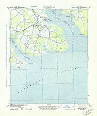
1943 · Wade Point
USGS Topo · 1:62,500
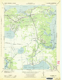
1943 · Columbia
USGS Topo · 1:125,000
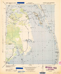
1943 · Roanoke Island
USGS Topo · 1:125,000
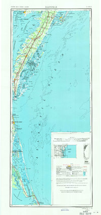
1946 · Eastville
USGS Topo · 1:250,000
1946 · Currituck Sound
USGS Topo · 1:250,000
1948 · Wade Point
USGS Topo · 1:62,500
1948 · Cape Hatteras
USGS Topo · 1:24,000