Old Maps of Sharp Point, North Carolina for Academic Research
Study the evolution of Sharp Point with 11 high-resolution historic maps. Whether you're teaching, researching, or modeling changes in land use, these maps provide essential visual documentation of urban, environmental, and geographic change.
- Analyze long-term change: Track patterns in development, transportation, and natural features.
- Ideal for environmental or urban studies: Support academic projects with primary historical map data.
- Use in the classroom or lab: Educators and researchers rely on these maps to bring historical context to life.
These maps are a powerful tool for teaching, research, and visualizing how Sharp Point has changed over the decades.
Sharp Point, NC maps
(11)- 1904 Map of Falkland, 1936 Print
 1904 Falkland1936 Print · USGSCoastal plain life at the turn of the century centered on river landings and swamp-side settlements across Pitt and Greene counties. Genealogists and historians can trace family roots at Fountain P.O., the mills at Harris Millpond, and river traffic at Dupree Ldg.3 unique versions available
 - 1953 Map of Rocky Mount, 1964 Print
 1953 Rocky Mount1964 Print · USGSEastern North Carolina in the mid-fifties is defined by its deep river basins and the vast wetlands of the Tidewater. Genealogists can trace family roots through hubs like Kinston and New Bern or explore the wilderness of Pettigrew State Park and Lake Mattamuskeet.4 unique versions available
 - 1954 Map of Rocky Mount
 1954 Rocky Mount1954 Print · USGSEastern North Carolina is mapped in the mid-fifties, showing a landscape of sounds, swamps, and steam-era rail lines. Genealogists can trace the rural road networks and rail spurs connecting towns like Tarboro, Greenville, and the remote Columbia.
 - 1980 Map of Falkland, 1981 Print
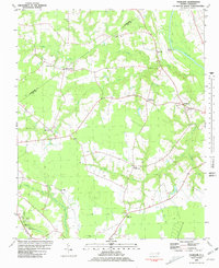 1980 Falkland1981 Print · USGSPitt County's rural landscape is captured here in the late seventies, centered on the river-bend settlement of Falkland. Researchers can trace old family sites and community centers like Sharp Point, Dupree Landing, and Kings Crossroads.2 unique versions available
 - 1985 Map of Rocky Mount
 1985 Rocky Mount1985 Print · USGSThe eastern North Carolina coastal plain in the mid-eighties shows a landscape defined by its river-and-rail heritage. Genealogists and local historians can trace the development of Rocky Mount, Greenville, and Wilson, or locate landmarks like East Carolina University and the Voice of America site.2 unique versions available
 - 1997 Map of Falkland, 2000 Print
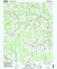 1997 Falkland2000 Print · USGSCoastal Plain lowlands along the Tar River appear in the late twentieth century as a mosaic of creek-fed farms and rural crossroads. Genealogists can trace family landmarks and community hubs like Falkland, Kings Crossroads, and St Johns Ch.
 - 2010 Map of Falkland, 2010 Print
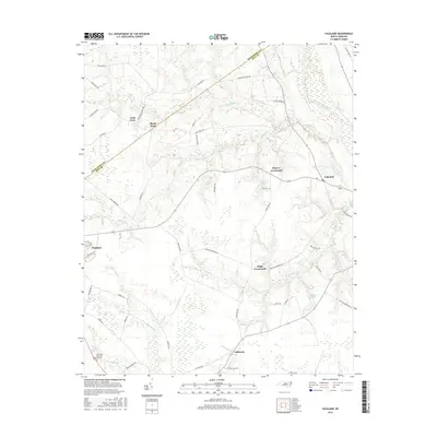
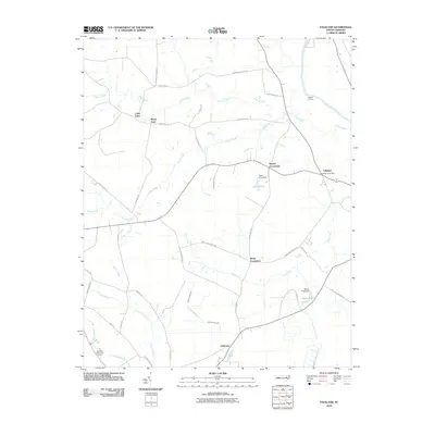 2010 Falkland2010 Print · USGSCovers Sharp Point, including Fountain, Falkland, and other nearby areas
 - 2013 Map of Falkland, 2013 Print
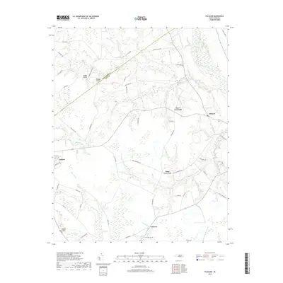
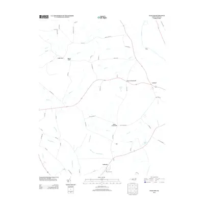 2013 Falkland2013 Print · USGSCovers Sharp Point, including Fountain, Falkland, and other nearby areas
 - 2016 Map of Falkland, 2016 Print
 2016 Falkland2016 Print · USGSCovers Sharp Point, including Fountain, Falkland, and other nearby areas
 - 2019 Map of Falkland, 2019 Print
 2019 Falkland2019 Print · USGSCovers Sharp Point, including Fountain, Falkland, and other nearby areas
 - 2022 Map of Falkland, 2022 Print
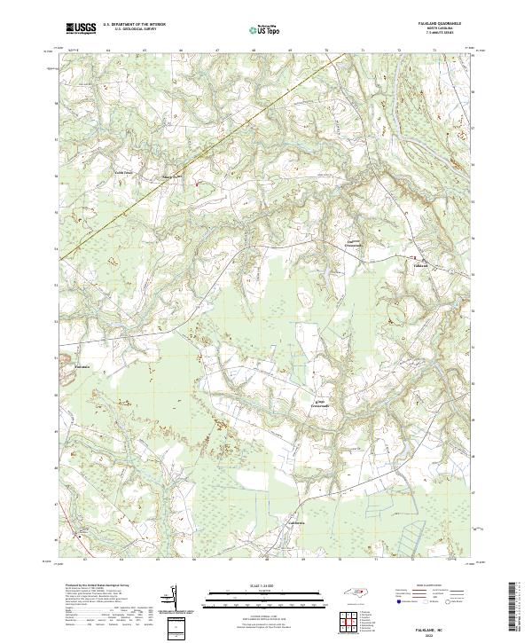 2022 Falkland2022 Print · USGSPitt County and the Edgecombe border are documented in this recent survey of the North Carolina coastal plain. Genealogists can trace family land and rural settlements at Falkland, Kings Crossroads, and Cobb Town along the winding Tar River and Blue Swamp.
End of results
Showing maps 1-11 of 11
Top cities near Sharp Point
- Greenville historical maps
- Rocky Mount historical maps
- Tarboro historical maps
- Winterville historical maps
- Farmville historical maps
- Sharpsburg historical maps
See more
Frequently asked questions
- What are the different types of historical maps available for Sharp Point?
- What is the oldest map of Sharp Point?
- Where can I purchase historical maps of Sharp Point for my home or office?
- Where can I download high-res historical maps of Sharp Point?
- Are there historical topographic maps available for Sharp Point?
- Is there historical aerial imagery available for Sharp Point?
- Where are historical maps of Sharp Point sourced from?