2020s Maps of Forsyth County, North Carolina
Explore 16 historic maps of Forsyth County from the 2020s. These maps offer a rare glimpse into what life looked like during the 2020s — showing old roads, neighborhoods, homes, and landmarks that have changed or disappeared over time.
Whether you're researching your family's past, planning a metal detecting trip, or studying how Forsyth County's landscape evolved across the 2020s, these high-resolution maps are a powerful tool for exploring the history of this region.
- Focus on a specific era: All maps on this page are from the 2020s, giving you a focused view of this time period.
- See what’s changed: Compare century-old streets, trails, and buildings to today's modern landscape using overlays and satellite layers.
- Research with precision: Use these maps for genealogy, historical research, land use analysis, or educational projects.
- View, download, or print: Maps are fully viewable online in high resolution, and can be downloaded or printed for your own records.
Start exploring Forsyth County's history through authentic maps from the 2020s. This is your window into the past.
Forsyth County, NC maps
(16)- 2022 Map of Welcome, 2022 Print
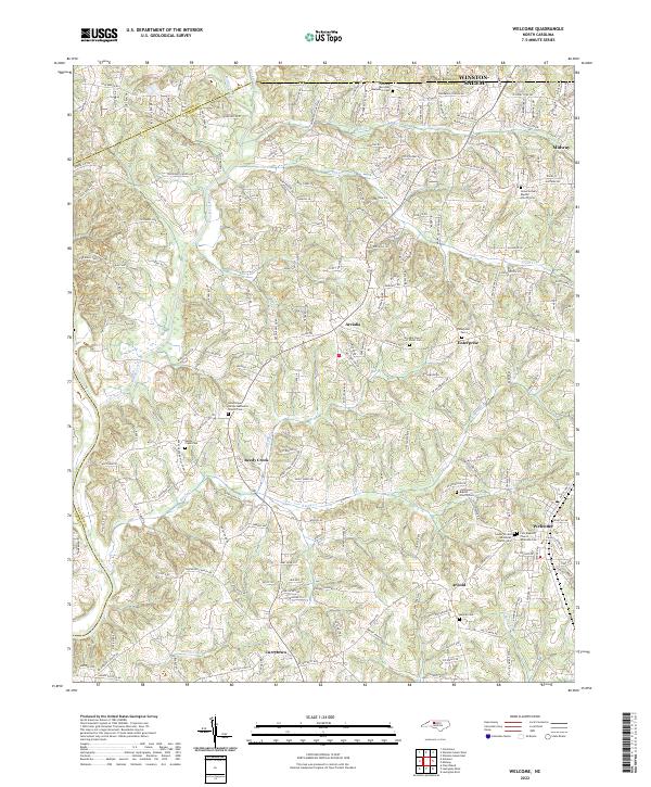 2022 Welcome2022 Print · USGSDavidson County settlement patterns are clearly visible in the early twenty-first century, showing the growth of communities between the Yadkin River and Winston-Salem. Genealogists can locate several historic burial grounds, including Friedberg Moravian God's Acre Cem and Good Hope United Methodist Church Cem.
 - 2022 Map of Advance, 2022 Print
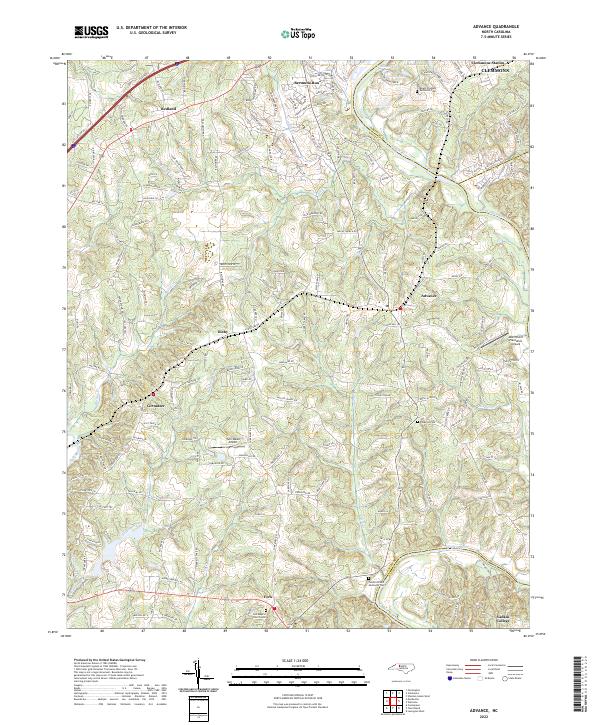 2022 Advance2022 Print · USGSThe Yadkin River valley in Davie County comes into focus in this contemporary survey, capturing the landscape around Advance and Bermuda Run. Family historians can trace local roots at Elbaville Cem, Yadkin College, and Fork Baptist Church Cem.
 - 2022 Map of Midway, 2022 Print
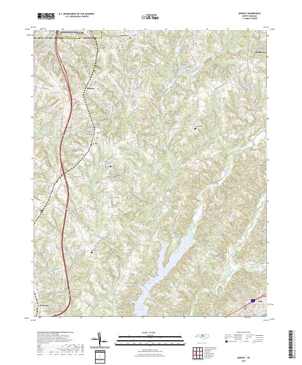 2022 Midway2022 Print · USGSDavidson County at the dawn of the 2020s shows the continued growth of communities like Midway and Wallburg. Researchers can locate family sites near Midway Baptist Church Cem or trace the waters of Abbotts Creek and Lake Tom-A-Lex.
 - 2022 Map of Clemmons, 2022 Print
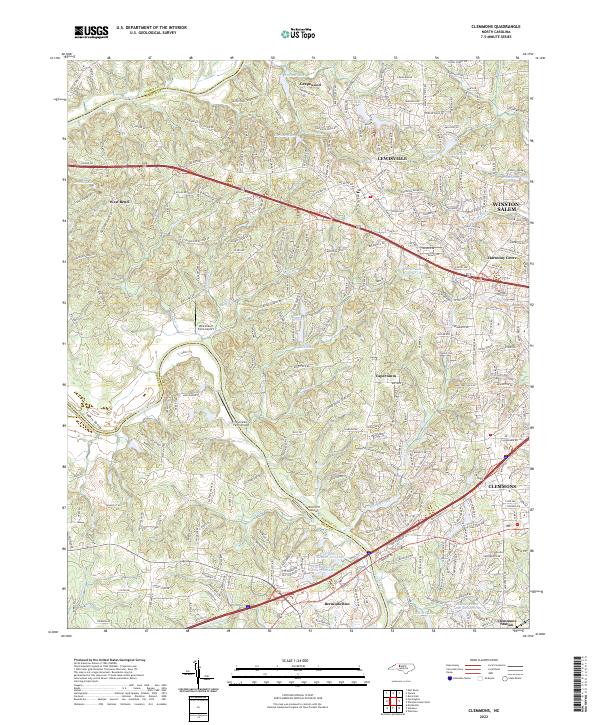 2022 Clemmons2022 Print · USGSSuburban growth meets the Piedmont's rural roots in this contemporary study of the Forsyth County area during its recent expansion. Researchers can trace family estates and local landmarks from Clemmons Station to the banks of the Yadkin River and Griffith Mill Pond.
 - 2022 Map of Kernersville, 2022 Print
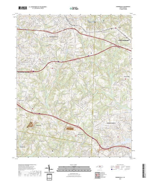 2022 Kernersville2022 Print · USGSThe North Carolina Piedmont is captured here in its modern form, where the growing communities of Kernersville and High Point meet. Genealogists and local researchers can trace established landmarks like Abbotts Creek Cem and the small settlements of Horneytown and Teaguetown.
 - 2022 Map of Belews Creek, 2022 Print
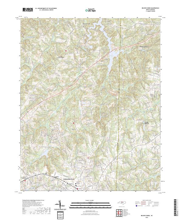 2022 Belews Creek2022 Print · USGSThe northern Piedmont comes into focus during this contemporary era of growth between Kernersville and Stokesdale. Researchers can trace family history at Mount Gur Cem or locate rural aviation history at the DS Butler Farm and Airfield.
 - 2022 Map of Walnut Cove, 2022 Print
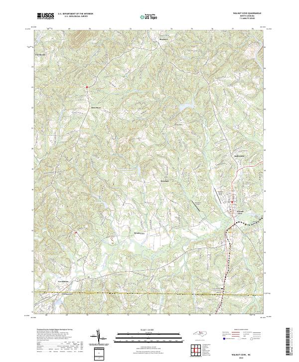 2022 Walnut Cove2022 Print · USGSThe foothills of the North Carolina piedmont are shown here in the 2020s, centered on the historic rail-and-river hub of Walnut Cove. Researchers can trace local lineage through the Fulp Moravian Church Cem or explore the landscape around Germanton and Piney Mtn.
 - 2022 Map of Walkertown, 2022 Print
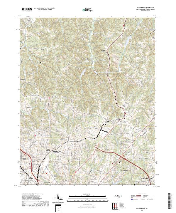 2022 Walkertown2022 Print · USGSForsyth County at the start of the 2020s shows the continued integration of Winston-Salem and Walkertown. Researchers can trace generational landmarks from Smith Reynolds Airport to numerous local burial grounds like Beck Cem and Watkins Cem.
 - 2022 Map of Farmington, 2022 Print
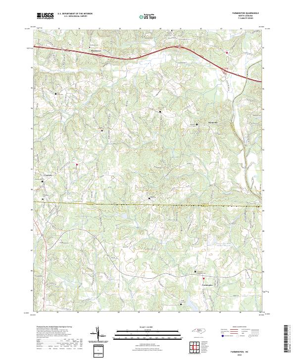 2022 Farmington2022 Print · USGSThe Yadkin River valley comes into sharp focus in this recent survey of the Davie and Yadkin county line. Researchers can trace ancestral locations at Farmington Community Cem, Huntsville, and Turners Creek Cem along the creek-carved Piedmont terrain.
 - 2022 Map of Rural Hall, 2022 Print
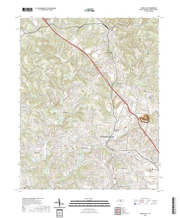 2022 Rural Hall2022 Print · USGSForsyth County communities and the northern reaches of Winston-Salem are documented here in the early 2020s. Researchers can locate the sprawling campus of Wake Forest University and historic local sites such as Bethania and the Bethania Cem.
 - 2022 Map of Belews Lake, 2022 Print
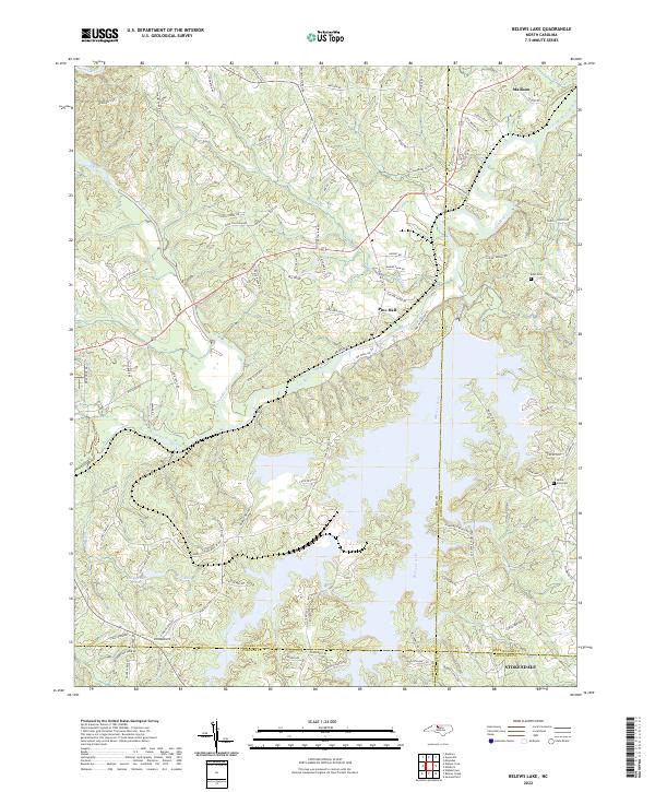 2022 Belews Lake2022 Print · USGSThe sprawling reservoir of Belews Lake and the winding Dan River define this Piedmont landscape in the early 2020s. Genealogists and local historians can trace family-named routes and sites like Eden Cemetery, Mount Zion Cemetery, and Pine Hall.
 - 2022 Map of Pinnacle, 2022 Print
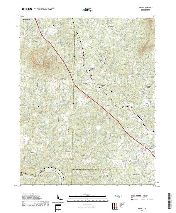 2022 Pinnacle2022 Print · USGSSurry and Stokes counties appear in their modern configuration during the 2020s, anchored by the iconic landmark of Pilot Mountain. Genealogists can trace family connections through numerous sites like Mount Zion Cemetery and Friends Union Cemetery.
 - 2022 Map of King, 2022 Print
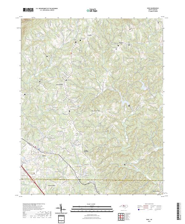 2022 King2022 Print · USGSStokes County and the northern Piedmont are captured here in the early twenty-first century as the town of KING expands toward Sauratown Mountain. Researchers can locate numerous family burial sites and rural landmarks, including Old Mount Olive Cemetery, Quaker Gap, and Poplar Springs.
 - 2022 Map of Winston-Salem East, 2022 Print
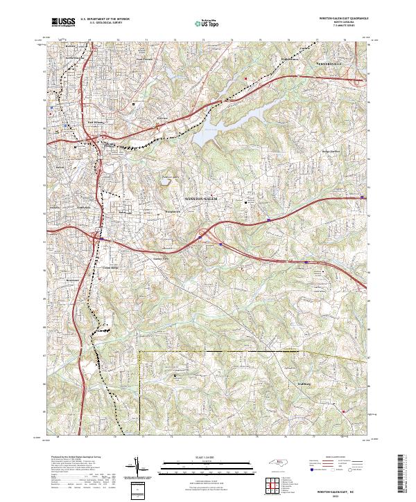 2022 Winston-Salem East2022 Print · USGSThe eastern reaches of Winston-Salem and Kernersville come to life in this detailed study of North Carolina’s Piedmont at the dawn of the 2020s. Genealogists and historians can trace institutional roots at Salem College or locate family sites near Evergreen Cem and Wallburg.
 - 2022 Map of Winston-Salem West, 2022 Print
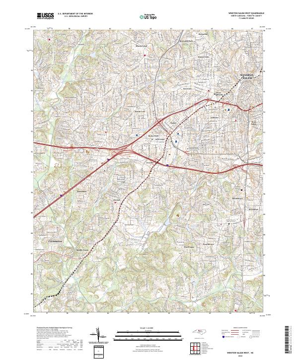 2022 Winston-Salem West2022 Print · USGSWinston-Salem and the western reaches of Forsyth County are documented in the early 2020s as modern transit and historic neighborhoods meet. Genealogists and local researchers can trace the vicinity of Clemmons and Jonestown or locate the Advents Moravian God's Acre Cem.
 - 2023 Map of Vienna, 2023 Print
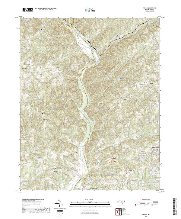 2023 Vienna2023 Print · USGSNorthwestern Forsyth and eastern Yadkin counties are shown here in the 2020s, centered on the Yadkin River corridor. Genealogists and local historians can trace family connections through landmarks like Union Hill Cem, Tobaccoville, and the Enon Baptist Church.
End of results
Showing maps 1-16 of 16
Top cities of Forsyth County
- Winston-Salem historical maps
- Kernersville historical maps
- Clemmons historical maps
- Lewisville historical maps
- Walkertown historical maps
- Rural Hall historical maps
See more
Frequently asked questions
- What are the different types of historical maps available for Forsyth County?
- What is the oldest map of Forsyth County?
- Where can I purchase historical maps of Forsyth County for my home or office?
- Where can I download high-res historical maps of Forsyth County?
- Are there historical topographic maps available for Forsyth County?
- Is there historical aerial imagery available for Forsyth County?
- Where are historical maps of Forsyth County sourced from?