Old Maps of Clemmons, North Carolina for Metal Detecting
Plan your next treasure hunt with 31 historic maps of Clemmons. Find old homesites, ghost towns, trails, and gathering spots that may be lost to time — perfect for identifying promising metal detecting locations.
- Locate forgotten sites: Uncover places like long-lost settlements, abandoned rail lines, or gathering spots.
- Plan better hunts: Use map overlays combined with LiDAR or satellite views to narrow in on historically rich areas.
- Made for detectorists: Thousands of hobbyists use these maps to discover relics, coins, and hidden history.
Use these historic maps to boost your research and find new opportunities beneath the surface of Clemmons.
Clemmons, NC maps
(31)- 1950 Map of Winston-Salem West, 1965 Print
 1950 Winston-Salem West1965 Print · USGSWinston-Salem and its western Forsyth County environs are documented here at a mid-century turning point between city and country. Genealogists and local historians can trace family locations near Clemmons, Old Town, and historic congregations like Fraternity Ch.4 unique versions available
 - 1951 Map of Winston-Salem West
 1951 Winston-Salem West1951 Print · USGSThe western suburbs of Winston-Salem meet the rural Piedmont during the early 1950s growth spurt. Genealogists can trace family landmarks and local institutions from Ketner Chapel to Jonestown, as well as older school sites like Wiley Sch and Griffith Sch.
 - 1953 Map of Charlotte, 1968 Print
 1953 Charlotte1968 Print · USGSThe North Carolina Piedmont and South Carolina borderlands are shown in detail during a period of significant growth and reservoir development. Trace the rail corridors of the Southern Railway or find family roots in towns like China Grove, Misenheimer, and Lincolnton.3 unique versions available
 - 1953 Map of Winston-Salem, 1974 Print
 1953 Winston-Salem1974 Print · USGSThe North Carolina Piedmont and Virginia highlands meet in the mid-1950s, a landscape defined by the tobacco and textile hubs of the Blue Ridge foothills. Researchers can trace the rail-and-river geography connecting Winston-Salem to mountain towns like Mount Airy and Galax.2 unique versions available
 - 1954 Map of Charlotte
 1954 Charlotte1954 Print · USGSThe North Carolina Piedmont in the mid-1950s shows a region of rapid growth and industrial expansion centered around Charlotte. Trace the era's infrastructure through the Southern railroad lines and locate significant landmarks like the Charlotte Naval Ammunition Depot and Lake Norman.2 unique versions available
 - 1955 Map of Winston-Salem
 1955 Winston-Salem1955 Print · USGSThe Central Blue Ridge and Piedmont transition are captured here in the mid-fifties, from the industrial hub of Winston-Salem to the high peaks of Southwest Virginia. Genealogists can trace family landmarks like Richmond Hill Ch, Siloam Ch, and the old rail stops along the Southern Railway.
 - 1960 Map of Charlotte
 1960 Charlotte1960 Print · USGSMid-century North Carolina and South Carolina meet in this 1960 survey of the Piedmont's industrial and textile heartland. Trace the growth of Charlotte alongside historic landmarks like Kings Mountain National Military Park and the Charlotte Naval Ammunition Depot.2 unique versions available
 - 1962 Map of Winston-Salem
 1962 Winston-Salem1962 Print · USGSThe North Carolina Piedmont meets the Virginia highlands in the early sixties, showing the rail corridors and mountain gaps of the southern Appalachians. Researchers can trace the Blue Ridge Parkway or locate family sites near Winston-Salem, Mount Airy, and Hanging Rock Mountain.
 - 1962 Map of Charlotte
 1962 Charlotte1962 Print · USGSThe North Carolina Piedmont in the early sixties showcases a landscape transformed by massive reservoirs and industrial growth. Researchers can trace the development of Lake Norman, locate the Charlotte Naval Ammunition Depot, or find family landmarks like Wesley Chapel and Brown & Norcott Mills.
 - 1968 Map of Clemmons, 1970 Print
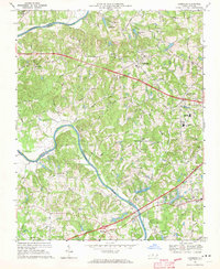 1968 Clemmons1970 Print · USGSForsyth County experiences a period of steady growth during the late sixties as the area between Lewisville and Clemmons develops. Researchers can trace family landmarks and local institutions from Tanglewood Park to rural congregations like Shiloh Ch and Union Hill Ch.3 unique versions available
 - 1969 Map of Advance, 1972 Print
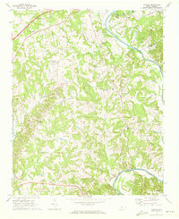 1969 Advance1972 Print · USGSThe Yadkin River valley near the turn of the 1970s shows a landscape of rural crossroads and riverfront recreation. Genealogists and local historians can trace family locations near Fork Church, Mocks Ch, and the old community of Yadkin College.2 unique versions available
 - 1977 Map of Clemmons, 1979 Print
 1977 Clemmons1979 Print · USGSThe northern Piedmont and the winding Yadkin River appear in detailed aerial photography from the late seventies. Researchers can trace property lines and the early footprints of settlements like Lewisville, Grapewood, and Hillsdale.
 - 1977 Map of Winston-Salem West, 1979 Print
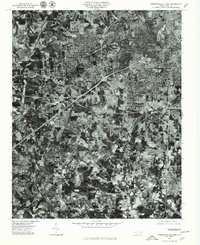 1977 Winston-Salem West1979 Print · USGSWinston-Salem and its western suburbs appear in striking detail during the late seventies as the city expanded toward the outskirts. Genealogists and local researchers can trace specific street layouts and property boundaries in neighborhoods like Ardmore, Clemmons, and Reynolda.
 - 1984 Map of Winston-Salem, 1985 Print
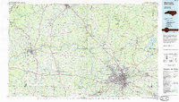 1984 Winston-Salem1985 Print · USGSThe North Carolina Piedmont in the mid-1980s shows the growth of Winston-Salem and the busy rail corridors of the Southern Railway. Genealogists and local historians can trace family-named lands and rural communities from Yadkinville to Mount Airy.2 unique versions available
 - 1985 Map of Salisbury, 1986 Print
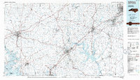 1985 Salisbury1986 Print · USGSNorth Carolina’s industrial Piedmont region comes into focus during the mid-eighties as textile and rail towns expanded. Genealogists and historians can locate rural landmarks like Davidson College and Boones Cave State Park or trace the Southern Railway through Lexington and Salisbury.2 unique versions available
 - 1997 Map of Winston-Salem West, 2001 Print
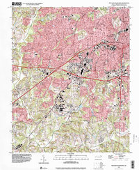 1997 Winston-Salem West2001 Print · USGSWinston-Salem and its western suburbs appear here in the late nineties, showcasing the city's residential and commercial expansion into Forsyth County. Trace local heritage through historic sites like New Philadelphia Ch Cem, Mt Tabor, and the Southern railroad line.
 - 2010 Map of Advance, 2010 Print
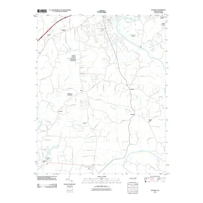 2010 Advance2010 Print · USGSThe Yadkin River valley in the early 2000s remains a landscape of historic crossroads and riverside infrastructure. Researchers can locate the Heidelberg Settlement, the Fork Church Post Office, and several local landmarks like Idols Dam and T Holt Haywood Dam.
 - 2010 Map of Winston-Salem West, 2010 Print
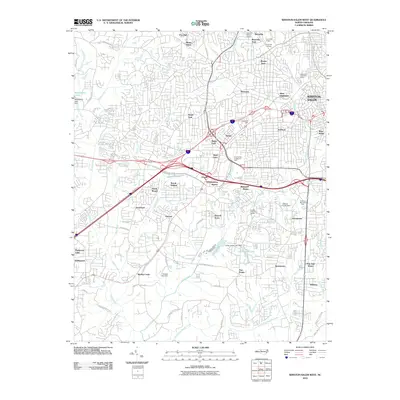 2010 Winston-Salem West2010 Print · USGSWinston-Salem and its western suburbs appear here in the early twenty-first century, showing a mature landscape of established neighborhoods and commercial corridors. Local researchers can trace residential development from Ardmore to Swaimtown and locate landmarks like Reynolda Village and Hanes.
 - 2010 Map of Clemmons, 2010 Print
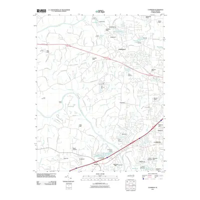 2010 Clemmons2010 Print · USGSForsyth County as it transitioned at the start of the 2010s shows a landscape of suburban growth woven into its river-bend history. Genealogists and local historians can trace family-named roads and sites from Lewisville to Clemmons Station, including the historic Lasater Mill Pond Dam.
 - 2013 Map of Clemmons, 2013 Print
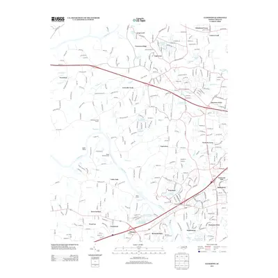 2013 Clemmons2013 Print · USGSThe Yadkin River valley and its surrounding Piedmont hills show a mix of aviation history and suburban growth in the early 2010s. Researchers can trace family-named landmarks and local hubs like Capernium, Whiteheart Farm Airport, and Harmony Grove.
 - 2013 Map of Winston-Salem West, 2013 Print
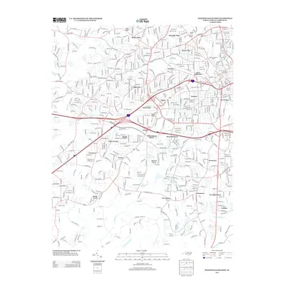 2013 Winston-Salem West2013 Print · USGSWinston-Salem during the early twenty-first century reflects a complex suburban landscape of established neighborhoods and modern residential growth. Genealogists and local historians can trace the development of areas like Ardmore, South Fork, and the grounds of the Methodist Childrens Home.
 - 2013 Map of Advance, 2013 Print
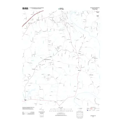 2013 Advance2013 Print · USGSThe Yadkin River valley and the surrounding North Carolina countryside are captured here in the early twenty-first century. Genealogists and local historians can trace family-named sites and rural centers like Heidleberg Settlement, Elbaville, and Clemmons Station.
 - 2016 Map of Winston-Salem West, 2016 Print
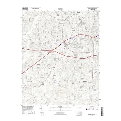 2016 Winston-Salem West2016 Print · USGSWinston-Salem and its western reaches are captured in the mid-2010s as the area's modern suburban and educational landscape took shape. Researchers can trace the layout of established neighborhoods like Ardmore, locate Jefferson Elementary, or follow the course of Muddy Creek.
 - 2016 Map of Clemmons, 2016 Print
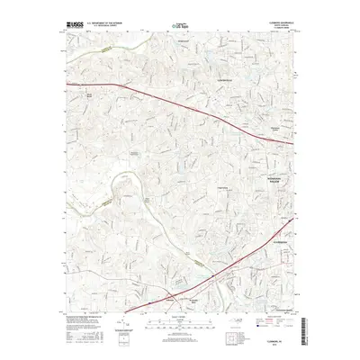 2016 Clemmons2016 Print · USGSThe Yadkin River valley and the growing suburbs of Forsyth County are captured here in the mid-2010s. Genealogists and local historians can trace the development of Lewisville and Clemmons or locate smaller spots like Harmony Grove and Capernium.
 - 2016 Map of Advance, 2016 Print
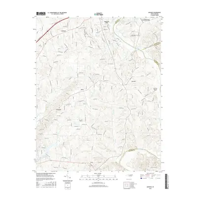 2016 Advance2016 Print · USGSThe Yadkin River valley in the mid-2010s shows a mix of growing residential hubs and preserved rural heritage. Local historians can trace the paths of established communities like Advance and Redland, or locate local landmarks such as Fork Cem and the Marchmont Plantation Airpark.
Showing maps 1-25 of 31
Top cities near Clemmons
- Winston-Salem historical maps
- Lexington historical maps
- Lewisville historical maps
- Mocksville historical maps
- Midway historical maps
- Walkertown historical maps
See more
Top neighborhoods of Clemmons
- Forest Hills Estates historical maps
- Middlebrook historical maps
- Parkwood Lake historical maps
- Westerly Forest historical maps
- Clemmons Station historical maps
- Rollingreen historical maps
See more
Frequently asked questions
- What are the different types of historical maps available for Clemmons?
- What is the oldest map of Clemmons?
- Where can I purchase historical maps of Clemmons for my home or office?
- Where can I download high-res historical maps of Clemmons?
- Are there historical topographic maps available for Clemmons?
- Is there historical aerial imagery available for Clemmons?
- Where are historical maps of Clemmons sourced from?