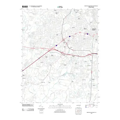
2010 Map of Winston-Salem West
USGS Topo · Published 2010About this map
Reynolda Gardens and the nearby Reynolda Village anchor the northern reaches of this Winston-Salem landscape, reflecting the city's twentieth-century growth and estate-driven development. The urban fabric is defined by a dense network of residential neighborhoods like Ardmore, Westview, and Buena Vista, alongside the industrial and commercial legacy represented by Hanes and the extensive Hanes Mall Blvd corridor.
Find a feature on this map
80 named features on this map. Tap any name to fly to it.
Don’t see what you’re looking for? This feature index may not catch every label — zoom into the map to look around manually.
Map Details
Editions of this 2010 Winston-Salem West Map
This is the sole edition of this map. No revisions or reprints were ever made.
Other maps of this area

1949 · Eller
USGS Topo · 1:24,000

1950 · Winston-Salem West
USGS Topo · 1:24,000

1950 · Winston-Salem East
USGS Topo · 1:24,000

1951 · Winston-Salem West
USGS Topo · 1:24,000

1951 · Winston-Salem East
USGS Topo · 1:24,000

1951 · Rural Hall
USGS Topo · 1:24,000

1951 · Walkertown
USGS Topo · 1:24,000

1953 · Charlotte
USGS Topo · 1:250,000

1953 · Winston-Salem
USGS Topo · 1:250,000

1954 · Charlotte
USGS Topo · 1:250,000