1970s Maps of Franklin County, North Carolina
Explore 14 historic maps of Franklin County from the 1970s. These maps offer a rare glimpse into what life looked like during the 1970s — showing old roads, neighborhoods, homes, and landmarks that have changed or disappeared over time.
Whether you're researching your family's past, planning a metal detecting trip, or studying how Franklin County's landscape evolved across the 1970s, these high-resolution maps are a powerful tool for exploring the history of this region.
- Focus on a specific era: All maps on this page are from the 1970s, giving you a focused view of this time period.
- See what’s changed: Compare century-old streets, trails, and buildings to today's modern landscape using overlays and satellite layers.
- Research with precision: Use these maps for genealogy, historical research, land use analysis, or educational projects.
- View, download, or print: Maps are fully viewable online in high resolution, and can be downloaded or printed for your own records.
Start exploring Franklin County's history through authentic maps from the 1970s. This is your window into the past.
Franklin County, NC maps
(14)- 1970 Map of Vicksboro, 1973 Print
 1970 Vicksboro1973 Print · USGSVance County in the early seventies was a land of small crossroads communities and family-named creek branches. Researchers can trace the legacy of rural life through landmarks like Weldons Mill, the Seaboard Coast Line rail route, and local churches such as Hughes Grove Ch.
 - 1971 Map of Afton, 1973 Print
 1971 Afton1973 Print · USGSThe rural communities of Warren County come into focus in the early 1970s, organized around country roads and woodland creeks. Genealogists can trace family roots through numerous sites like Warren Academy, Sulphur Springs Ch, and the settlement at Elberon.
 - 1977 Map of Wilton, 1978 Print
 1977 Wilton1978 Print · USGSGranville County in the late seventies is a landscape of rural crossroads and river bottomlands. Researchers can trace family history through a high density of local landmarks including Hawkins Chapel, Synama Grove Ch, and the Seaboard Coast Line railroad.
 - 1978 Map of Middlesex
 1978 Middlesex1978 Print · USGSCoastal plain farmland and tobacco-country crossroads define this corner of Nash County in the late 1970s. Trace family roots and local history through numerous country churches like St Bethel Church and community centers like Social Plains or Middlesex.
 - 1978 Map of Bunn East
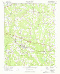
 1978 Bunn East1978 Print · USGSEastern Franklin and western Nash counties are captured here in the late seventies, showing a landscape defined by the Tar River. Genealogists and historians can locate rural communities like Seven Paths, Daddysville, and Pine Ridge, alongside numerous country churches and cemeteries.
 - 1978 Map of Franklinton
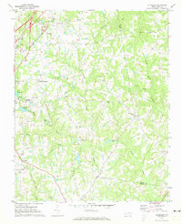
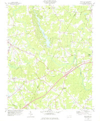
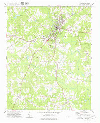
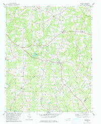
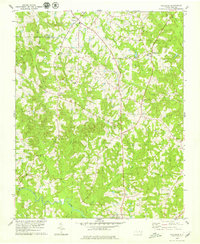
 1978 Franklinton1978 Print · USGSFranklin County in the late seventies reveals a landscape shaped by the rail corridor connecting Franklinton and Youngsville. Researchers can trace rural lineages through numerous country churches like Oak Level Ch and family landmarks at Mitchiners Crossroads.2 unique versions available
 - 1978 Map of Grissom
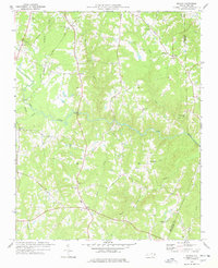
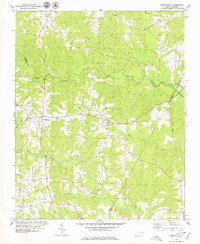
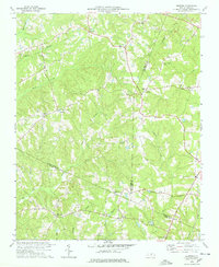 1978 Grissom1978 Print · USGSThe intersection of Granville, Wake, and Franklin counties comes into focus in the late 1970s, showing a rural landscape defined by creek-side settlements. Genealogists can trace family roots through numerous small churches and cemeteries like Kinchen Chapel, Marys Chapel, and Purnell.2 unique versions available
 - 1978 Map of Gold Sand, 1979 Print
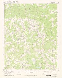
 1978 Gold Sand1979 Print · USGSFranklin and Warren County rural life in the late seventies is centered on crossroads like Gold Sand and Alert. Trace family sites near Mountain Grove Ch, the Gold Sand Sch, and the winding banks of Sandy Creek.2 unique versions available
 - 1978 Map of Louisburg, 1979 Print
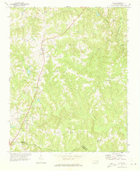
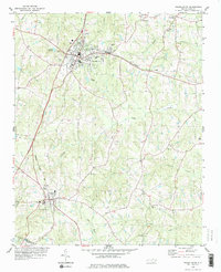
 1978 Louisburg1979 Print · USGSLouisburg in the late seventies serves as a focal point for Franklin County education and rail transport. Researchers can trace the grounds of Louisburg College, locate rural landmarks like Shady Grove Ch, or follow the Seaboard Coast Line through Katesville.2 unique versions available
 - 1978 Map of Centerville, 1979 Print
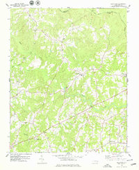
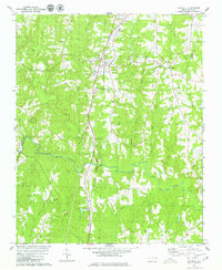
 1978 Centerville1979 Print · USGSThe Franklin and Warren County borderlands appear here in the late seventies as a landscape of winding creeks and rural crossroads. Local historians can trace the foundations of these communities through landmarks like Fork Chapel, Wester Ch, and the settlement of Wood.
 - 1979 Map of Castalia
 1979 Castalia1979 Print · USGSThe Franklin and Nash county line in the 1970s shows a landscape of established rural crossroads and small communities. Genealogists can trace family landmarks and burial sites near Castalia, Cedar Rock Ch, and the settlement at Corinth.2 unique versions available
 - 1979 Map of Kittrell
 1979 Kittrell1979 Print · USGSVance and Franklin counties appear here in the late seventies as the rural landscape centered on the Seaboard Coast Line corridor. Genealogists can locate family landmarks like St Marys Ch, Kittrell Junior College, and the small settlement of Bobbitt.
 - 1979 Map of Justice
 1979 Justice1979 Print · USGSFranklin and Nash counties come to life in the late seventies, showing a landscape of quiet rural crossroads and family-named landmarks. Researchers can trace local heritage through sites like Duke Memorial Ch, Stallings Crossroads, and the grounds of Bunn High Sch.
 - 1979 Map of Ingleside
 1979 Ingleside1979 Print · USGSFranklin and Vance counties are shown here in the late seventies, featuring the agrarian landscapes and community centers of the North Carolina interior. Genealogists can trace family landmarks and rural institutions like Franklin Academy, Mitchell Ch, and the crossroads at Epsom.
End of results
Showing maps 1-14 of 14
Top cities of Franklin County
- Louisburg historical maps
- Youngsville historical maps
- Franklinton historical maps
- Bunn historical maps
- Centerville historical maps
Frequently asked questions
- What are the different types of historical maps available for Franklin County?
- What is the oldest map of Franklin County?
- Where can I purchase historical maps of Franklin County for my home or office?
- Where can I download high-res historical maps of Franklin County?
- Are there historical topographic maps available for Franklin County?
- Is there historical aerial imagery available for Franklin County?
- Where are historical maps of Franklin County sourced from?