2000s (21st Century) Maps of Ranlo, North Carolina
Explore 11 historic maps of Ranlo from the 2000s (21st Century). These maps offer a rare glimpse into what life looked like during the 2000s — showing old roads, neighborhoods, homes, and landmarks that have changed or disappeared over time.
Whether you're researching your family's past, planning a metal detecting trip, or studying how Ranlo's landscape evolved across the 2000s, these high-resolution maps are a powerful tool for exploring the history of this region.
- Focus on a specific era: All maps on this page are from the 2000s, giving you a focused view of this time period.
- See what’s changed: Compare century-old streets, trails, and buildings to today's modern landscape using overlays and satellite layers.
- Research with precision: Use these maps for genealogy, historical research, land use analysis, or educational projects.
- View, download, or print: Maps are fully viewable online in high resolution, and can be downloaded or printed for your own records.
Start exploring Ranlo's history through authentic maps from the 2000s. This is your window into the past.
Ranlo, NC maps
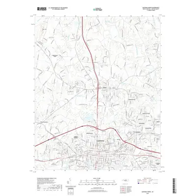
(11)- 2002 Map of Gastonia North, 2003 Print
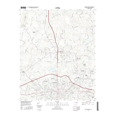
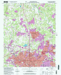 2002 Gastonia North2003 Print · USGSGaston County at the turn of the twenty-first century reveals a landscape of rapid urban growth and deep-rooted community landmarks. Genealogists and historians can trace family ties at Hollywood Cemetery and Antioch Church, or explore the civic core near the Schiele Museum.
 - 2010 Map of Gastonia North, 2010 Print
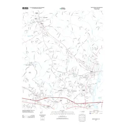
 2010 Gastonia North2010 Print · USGSCovers Ranlo, including Gastonia, Dallas, and other nearby areas
 - 2010 Map of Mount Holly, 2010 Print
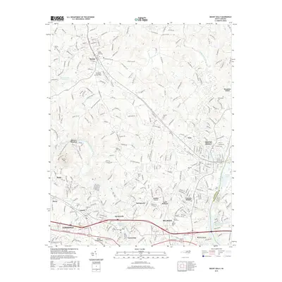
 2010 Mount Holly2010 Print · USGSCovers Ranlo, including Charlotte, Gastonia, and other nearby areas
 - 2013 Map of Gastonia North, 2013 Print
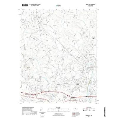
 2013 Gastonia North2013 Print · USGSCovers Ranlo, including Gastonia, Dallas, and other nearby areas
 - 2013 Map of Mount Holly, 2013 Print
 2013 Mount Holly2013 Print · USGSCovers Ranlo, including Charlotte, Gastonia, and other nearby areas
 - 2016 Map of Mount Holly, 2016 Print
 2016 Mount Holly2016 Print · USGSCovers Ranlo, including Charlotte, Gastonia, and other nearby areas
 - 2016 Map of Gastonia North, 2016 Print
 2016 Gastonia North2016 Print · USGSCovers Ranlo, including Gastonia, Dallas, and other nearby areas
 - 2019 Map of Mount Holly, 2019 Print
 2019 Mount Holly2019 Print · USGSCovers Ranlo, including Charlotte, Gastonia, and other nearby areas
 - 2019 Map of Gastonia North, 2019 Print
 2019 Gastonia North2019 Print · USGSCovers Ranlo, including Gastonia, Dallas, and other nearby areas
 - 2022 Map of Mount Holly, 2022 Print
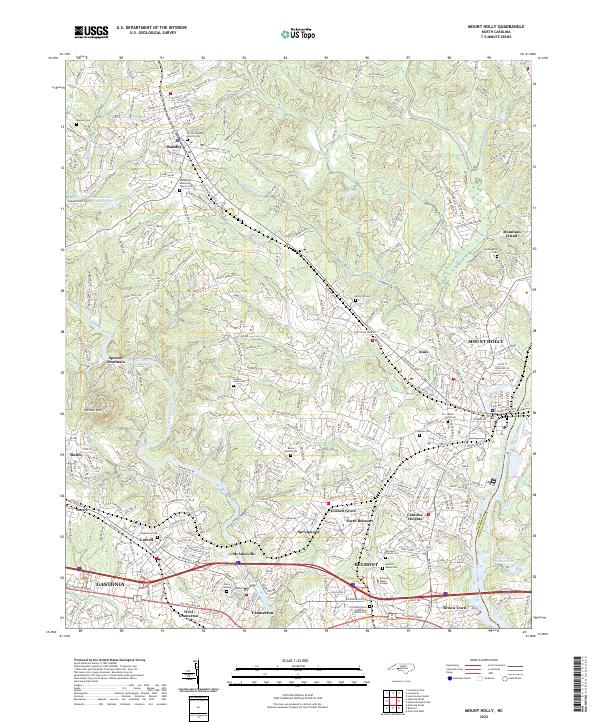 2022 Mount Holly2022 Print · USGSThe Gaston County textile corridor is captured here in the early 2020s, showcasing the river-driven development of McAdenville and Mount Holly. Researchers can locate family landmarks like Mauney Cem and explore the historic grounds of Belmont Abbey College.
 - 2022 Map of Gastonia North, 2022 Print
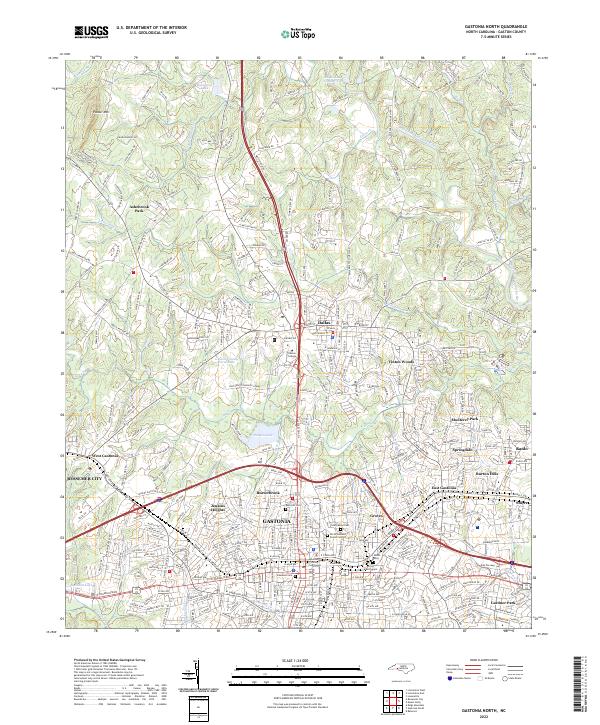 2022 Gastonia North2022 Print · USGSGaston County is shown in detail during its modern period of growth and suburban expansion. Researchers can trace family history through numerous local sites including Rose Hill Cem, Philadelphia Church, and the Gaston County Courthouse.
End of results
Showing maps 1-11 of 11
Top cities near Ranlo
- Charlotte historical maps
- Gastonia historical maps
- Huntersville historical maps
- Cornelius historical maps
- Mount Holly historical maps
- Pineville historical maps
See more
Top neighborhoods of Ranlo
Frequently asked questions
- What are the different types of historical maps available for Ranlo?
- What is the oldest map of Ranlo?
- Where can I purchase historical maps of Ranlo for my home or office?
- Where can I download high-res historical maps of Ranlo?
- Are there historical topographic maps available for Ranlo?
- Is there historical aerial imagery available for Ranlo?
- Where are historical maps of Ranlo sourced from?