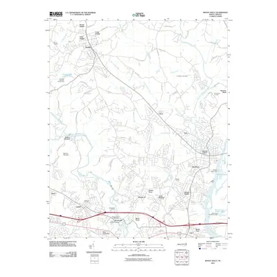
2010 Map of Mount Holly
USGS Topo · Published 2010About this map
Mount Holly and its surrounding mill towns define this industrial and residential corridor along the banks of the Catawba River and its western fork. The landscape is marked by numerous tight-knit communities including McAdenville, Lowell, and Stanley, reflecting the dense settlement patterns typical of the Gaston and Mecklenburg county border region. Modern infrastructure is visible through the Sodyeco Lagoon and various reservoirs like Rowland Lake Number One, while the topography is punctuated by the elevation of Spencer Mountain.
Find a feature on this map
78 named features on this map. Tap any name to fly to it.
Don’t see what you’re looking for? This feature index may not catch every label — zoom into the map to look around manually.
Map Details
Editions of this 2010 Mount Holly Map
This is the sole edition of this map. No revisions or reprints were ever made.
Other maps of this area

1905 · Charlotte
USGS Topo · 1:48,000

1907 · Charlotte
USGS Topo · 1:62,500

1914 · Gastonia
USGS Topo · 1:48,000

1916 · Gastonia
USGS Topo · 1:62,500

1941 · Charlotte
USGS Topo · 1:125,000

1942 · Charlotte
USGS Topo · 1:125,000

1947 · Clover
USGS Topo · 1:62,500

1948 · Paw Creek
USGS Topo · 1:24,000

1948 · Charlotte West
USGS Topo · 1:24,000

1949 · Clover
USGS Topo · 1:62,500